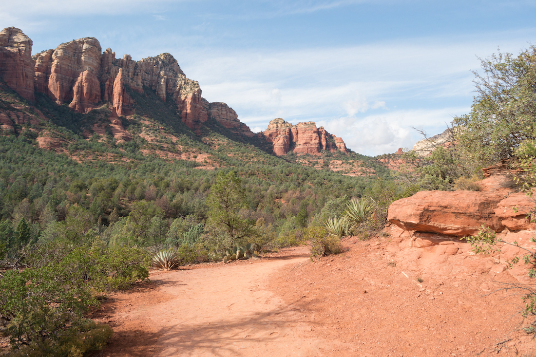
Sedona is a beautiful city in Arizona with red rocks all over the place. It has some great landscape views and one of the most popular things to do in Sedona is hike. There are endless hiking trails, scenic drives to take, and lots of different rock formations to see. One hike that I kept coming across online was the Soldier Pass Trail in Sedona.
This hike was suggested a LOT and I had read that it was a trail that took you to a lot of highlights. We wanted to see if it lived up to that and put it on our itinerary.
hike details:
- Difficulty: Moderate
- Distance: about 4.5 miles
- Elevation: approximately 450 feet
- Time: About 2.5-3.5 hours RT to the caves
When to Go
Early morning is usually busy with hikers trying to get parking because parking is often an issue. The parking lot is open from 8am-6pm so people are typically lined up waiting beforehand. By 10am at another trail we did, it was packed. We ended up going around 11am (see below for parking tips) and finished at about 2pm. When we were leaving, it seemed to be less crowded, so I would suggest the late afternoon to avoid the crowds. Just be sure that if you do park in the lot, you are back before it closes.
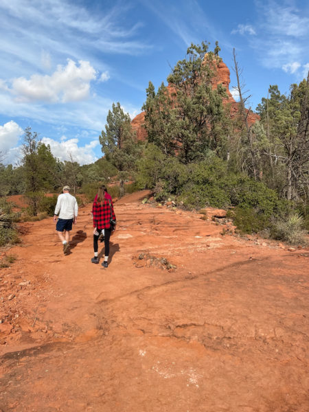
If you are into photography, I’d probably suggest the late afternoon as well, but it of course will depend on what you want to shoot. We arrived at the 7 Sacred Pools around mid day and the lighting was coming from the front so it ended up looking harsh in my photos. Getting a late sun/sunset would probably be best–photography wise.
What to Bring
The hike isn’t too long, but you’ll still want to have a few things with you:
- Phone – fully charged, to check trail maps online
- Water & Snacks
- Good hiking shoes
- Layers. Depending on the time of year, you may want to have some warmer/cooler clothes. (In Nov, it was cool to start and warm mid-way through).
Parking for the Soldier Pass Trail in Sedona
Parking here is not great. It’s a very popular hike and the parking lot is small. It holds about 15 cars or so and evidently cars are lined up in the morning to try and get a spot when the gate opens at 8am. It’s also kind of a narrow parking lot so if you pull in, you might get stuck for awhile because some cars will just wait in the lot until someone comes back from the hike.
Around the trailhead is a residential area, so you aren’t allowed to park along the street there. The other option is to park a mile or 2 down the road at the Dog Park. You can’t park within the dog park (there’s only a handful of spots anyway) because they have an hour time limit on spots. What you want to do is parallel park on the spots on the hill just after the pull in for the dog park.
Parking ‘Shuttle’
There’s nothing worse than getting ready for a long hike and then having to hike more simply because you parked far away. That’s where Debbie comes in. I had read about Debbie on trip advisor and quite a few reviews mention her. She’s a local who has carved a niche for herself by shuttling hikers back and forth from the parallel spots at the dog park. She works on tips alone so make sure you have cash on hand to give her.
But she’ll pick you up, drop you off and be there when you’re done with the hike. It’s pretty great. I got her number off All Trails and just gave her a call so if you find yourself in the same position, here it is: 928-592-2011.
Hiking Soldier Pass Trail in Sedona
There are 3 main points of interest to see on this hike: Devil’s Kitchen, 7 Sacred Pools and the Caves. You can go as far as you like and turn back around or continue past the caves to take a longer loop back or to take another trail.
The Soldier Pass Trail in Sedona is just one section of multiple trails that also include the Brin’s Mesa Trail, Jordan’s Trail and Cibola Pass. We were warned that the trail forks to get to the caves and that you need to make sure you take the correct path. But there are other places that fork off also. It’s pretty easy to get lost or go the wrong way.
I had read a few reviews from people who had trouble finding the caves and had gotten lost along the way. On our hike alone, we met two different groups of people who had gotten lost and had to turn back around. They weren’t happy. It’s already a decent length of a hike, and hiking out of the way, no matter how long, would not be fun.
We had the All Trails map downloaded and Google Maps which both do a good job of showing the main trail. They don’t however, show all the forks. We made sure to continually ask other oncoming hikers if we were on the right route. It’s lucky we did since we ran into people who had been wandering around for awhile before backtracking.
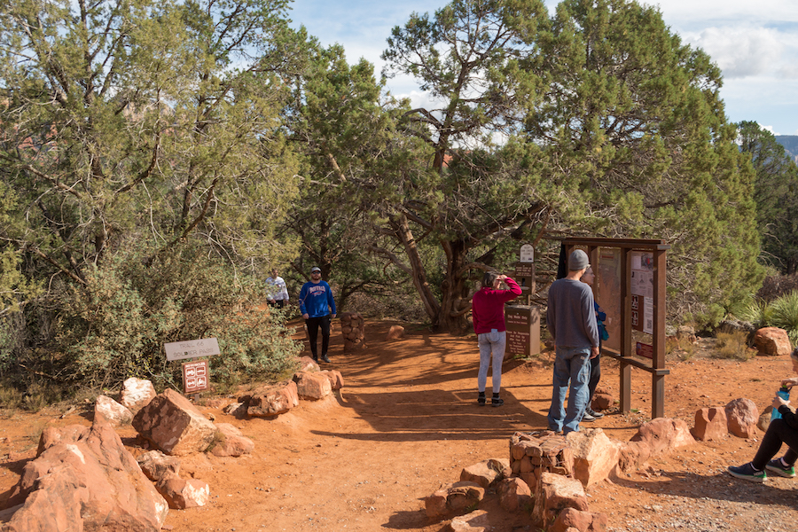
The Soldier Pass Trailhead
The trailhead is just on the other side of the parking lot and it starts out pretty mild. Depending on what you want to see, you can have a shorter or longer hike.
Devil’s Kitchen
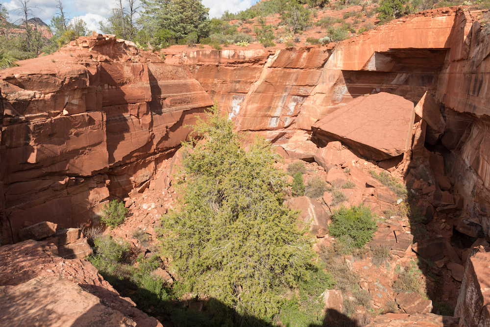
The first stop is pretty close to the trailhead and is called Devil’s Kitchen. It’s a large sinkhole in the ground with a large sheet of rock in the collapsed pile. The ground first collapsed in the 1880s and other parts have collapsed since, widening the hole a bit.
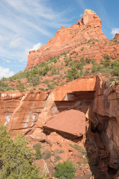
It has nice scenery in the background so it’s nice to take a few snapshots before moving on.
Seven Sacred Pools
The next stop you’ll come to is the Seven Sacred Pools. Here you’ll find a series of natural pools carved in the sandstone. Depending on when you go, the water levels can be higher causing the pools to cascade into one another. Other times, they may be pretty low with water.
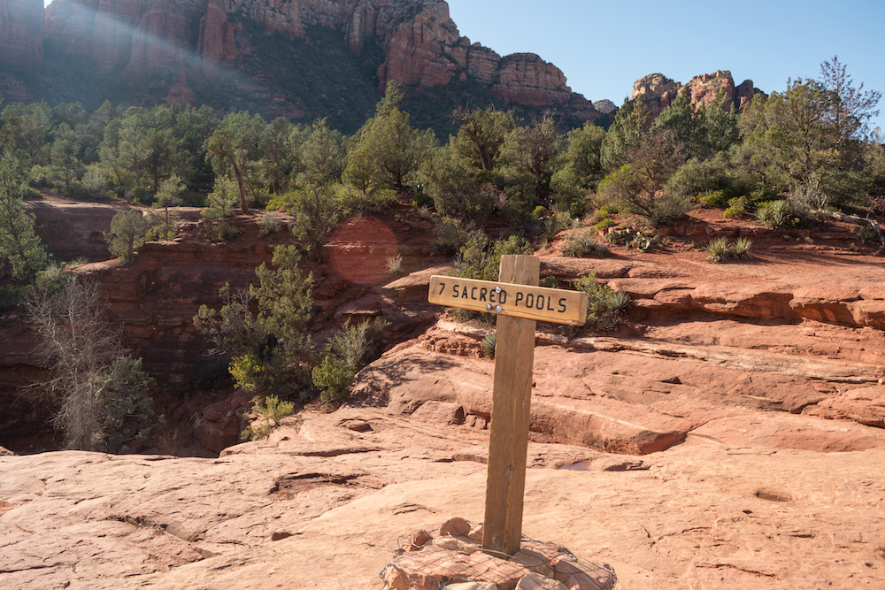
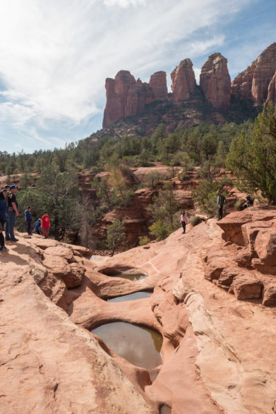
These are not swimming holes, so don’t get into the water here. There are some great buttes behind them that could make this a good photography spot. But like I mentioned earlier, mid day doesn’t give you the greatest lighting for that direction.
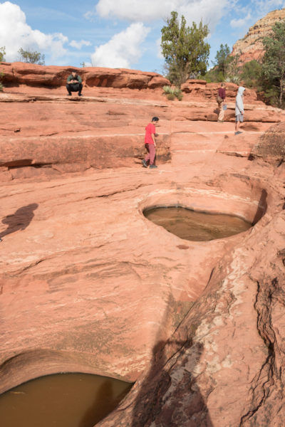
This section is not too much further down the trail from Devil’s Kitchen. From here is where you’ll begin the hike to the caves and where it can get a little confusing on the trail. There’s also a jeep trail that leads to the pools and comes in from the left. So when you go to continue on to the caves, you’ll look for the path on the right for Soldiers Pass Trail and not the jeep trail to the left.
The Caves
The caves are further away so if you want a short hike, you can turn around at the 7 Sacred Pools. The caves are about 1.3 miles from the pools and the trail goes mostly through trees and brush. It’s not the most scenic trail on the way up and for the most part, it’s a fairly flat hike.
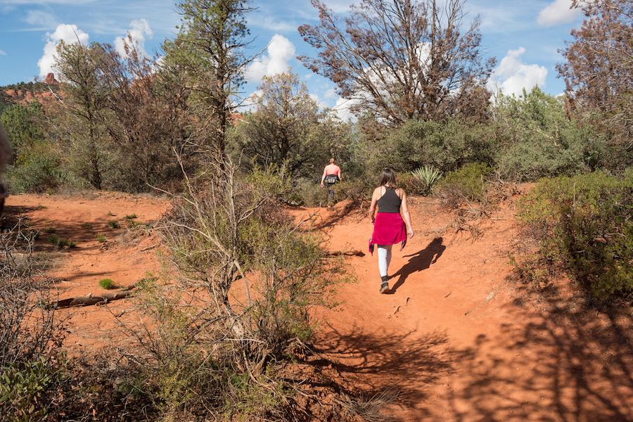
You’ll come to another section that takes you around a little ledge. Here is where you want to walk all the way around the ledge. There’s a path that goes straight and it looks like it would be the main trail but it’s not. And we ran into another person who had gotten lost here. So you’ll want to follow around the ledge to where the trail continues on the far left.
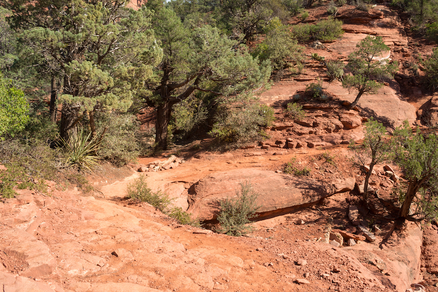
The main fork that people talk about is towards the end. The left continues the loop trail but to get to the caves, you’ll take the right trail. Look for a sign on the tree that says ‘wilderness’ and you’ll know you’re in the right place.
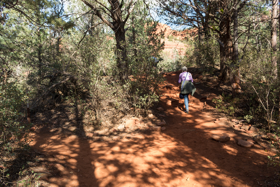
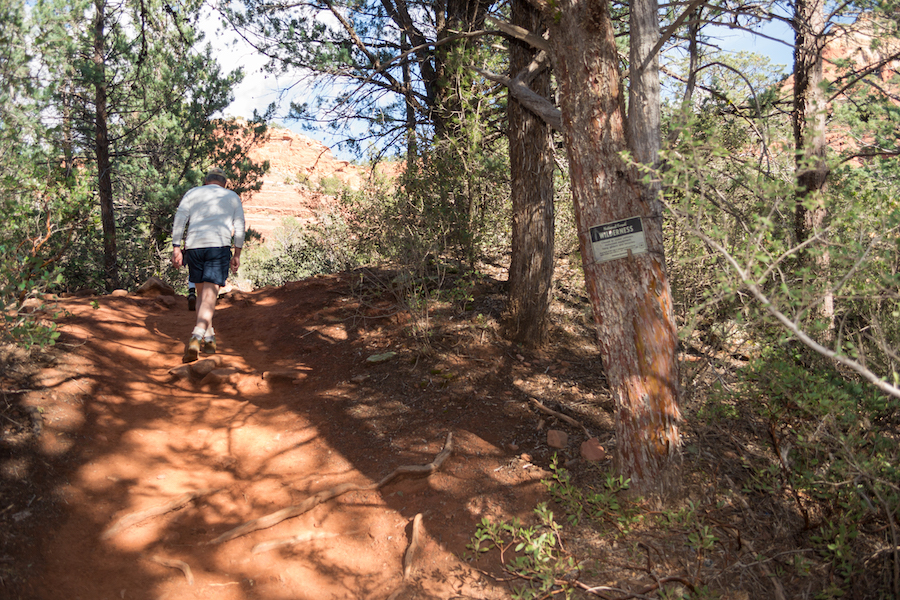
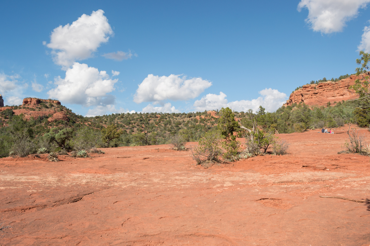
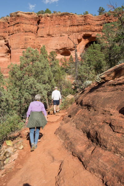
Shortly after that, you’ll reach a rock plateau. It’s a good spot to take a break, eat snacks, etc because it’s almost to the caves. Once you are up at the caves, there isn’t a great place to relax. Walk across the plateau to the far left corner and that will take you on up.
Inside the caves
The way up is rocky and you’ll have to do a bit of a scramble to reach the caves. There are two that are side by side that you can see. They aren’t anything deep but you can go up into the second one. The path up is very narrow and rocky, and allows only one person at a time to go up or down. It was pretty congested when we arrived.
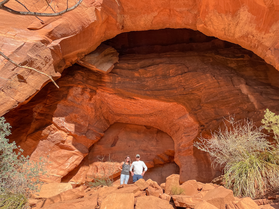
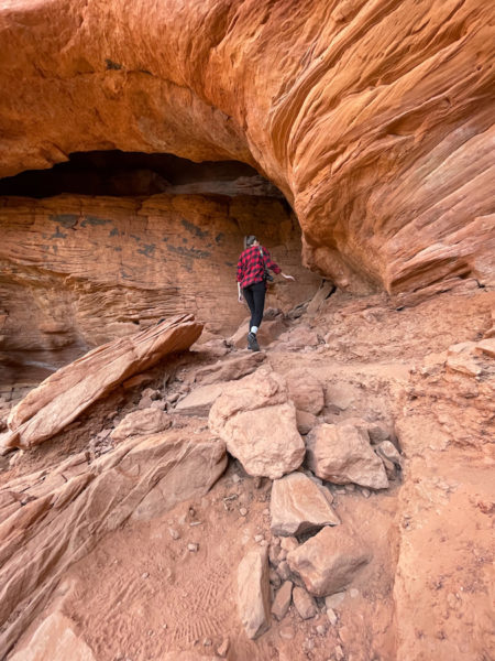
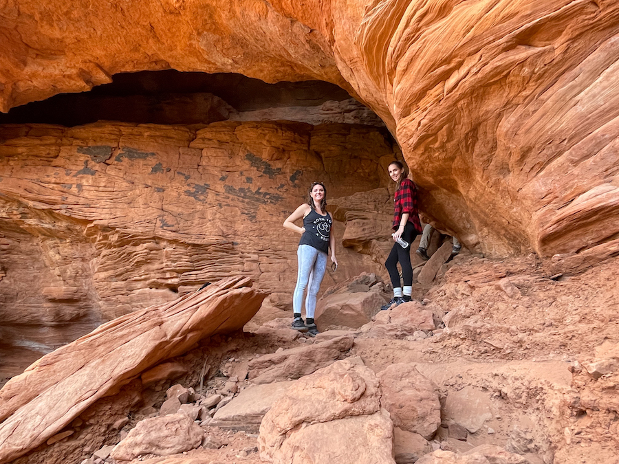
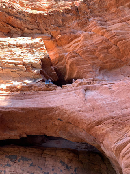
The inside of the 2nd cave has small ridges and a crack that let light seep through the narrow opening. You can also climb up to a little window above the cave arch to get a better view. Otherwise, you’ll be on the rocky incline with not much to explore and the view is a little obstructed by trees.
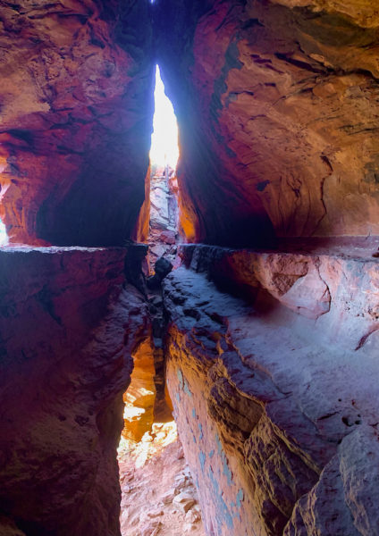
When you’ve finished exploring the caves, you’ll head back across the rock plateau where you came from. You can either take the other fork to continue on the loop, or go back the way you came to finish the hike.
Is it Worth Doing?
I left this part for last because people hike for different reasons. Some people hike to explore, some to exercise and some to see the highlights. My family and I were wanting to see the highlights and felt a little misled by what we had read online. While the Soldier Pass Trail in Sedona has some things to see, we didn’t feel like they were ‘wow’ factors or anything. And for the length of the hike, we thought we could have spent our time elsewhere.
We are big into photography and were hoping for some really great landscape shots but we were a little underwhelmed with this hike. Sedona has so many great rock formations and views that we had seen in other places. If you’re limited on time, I would probably try one of Sedona’s other popular hikes. But if you have a little more time, this trail does show you some different things and is a moderate hike to do.
PIN IT FOR LATER



Leave a Reply