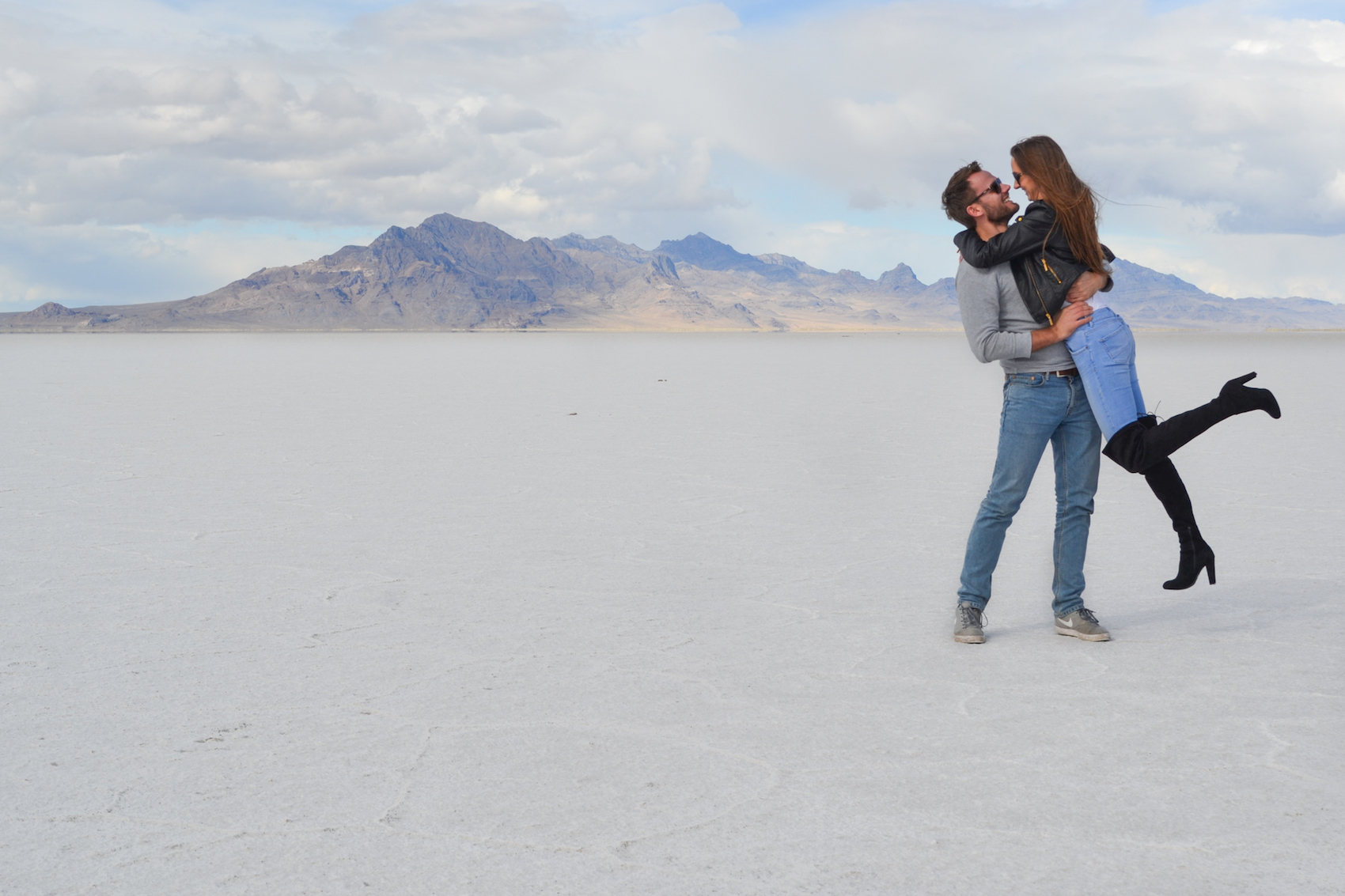
Utah is probably one of the most fascinating states in the US. The landscape in Utah is insane and there are an endless amount of places to explore. Southern Utah is filled with national parks where you can see canyons on canyons, rock arches, spires and weird formations…you name it. But in the north of Utah, there are the Bonneville Salt Flats, another unique phenomenon worth a visit.
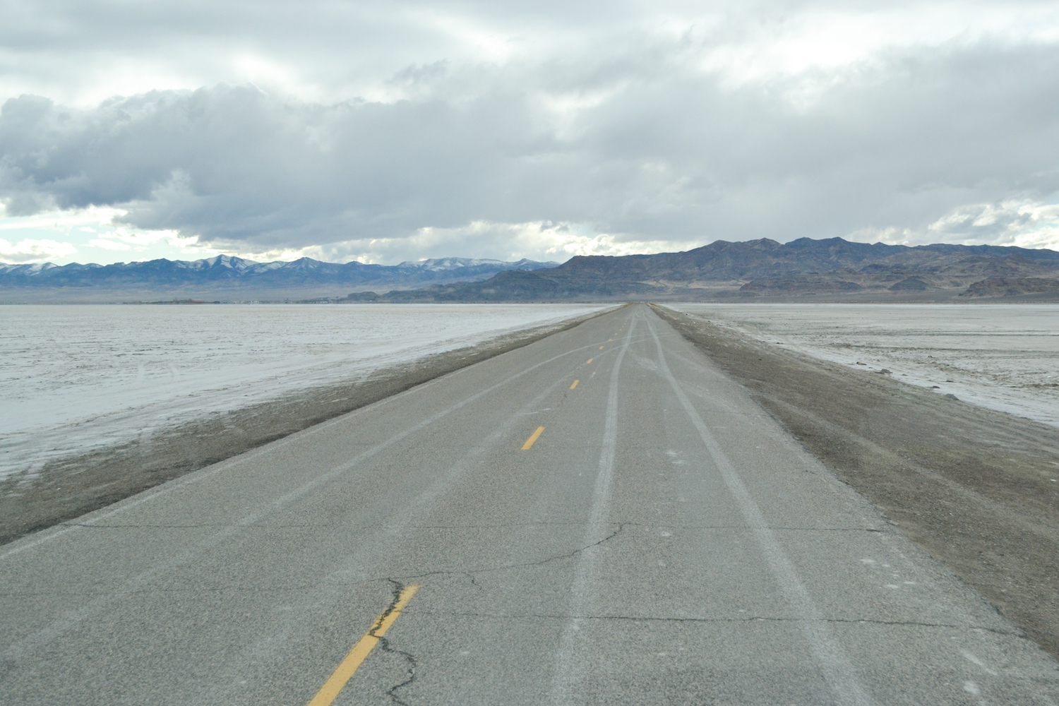
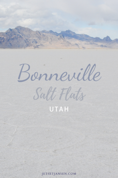
As you’re driving down the road in Utah, the landscape suddenly turns white on both sides of the road. It really looks like you’re driving through snow but it’s actually plains of salt.
What are the Bonneville Salt Flats?
The salt flats are what remained when the ancient Bonneville Lake dried up at the end of the last ice age. The salt flats span over an area that is 30,000 acres large. You can imagine how big this ancient lake must have been because The Great Salt Lake is a mere remnant of it. So yes, the area is VAST.
How vast? Part of the salt flats are used as a speedway. A SPEEDWAY. To test speed. It’s actually the location where several land speed records have been set. There’s evidently an area on the western side designated for vehicles so don’t just start driving anywhere.
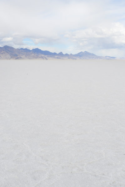
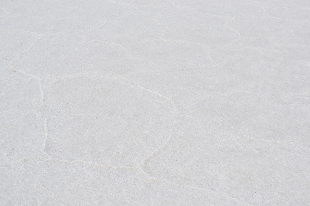
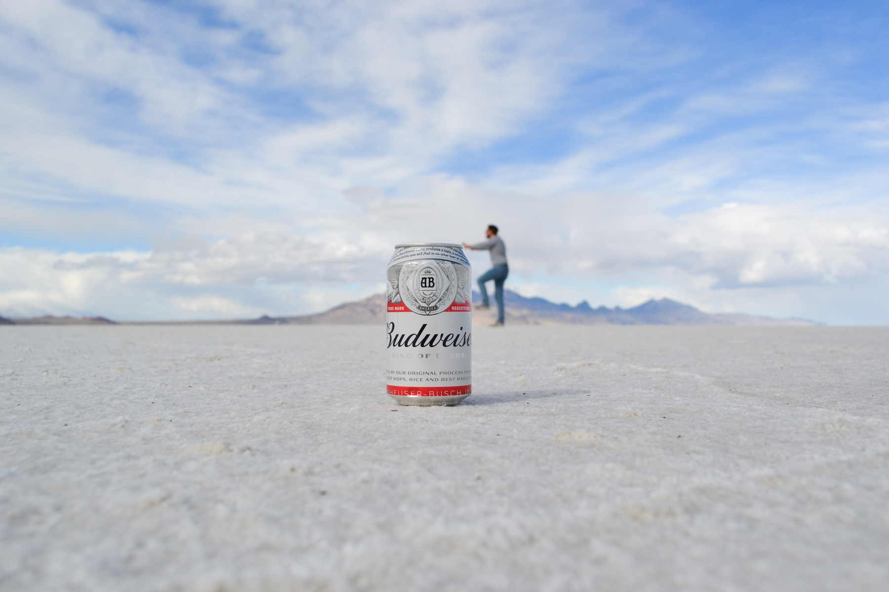
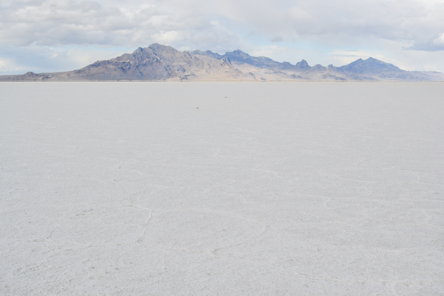
Anyway, the salt flats are about 90% table salt. The minerals left in the plains have formed a sort of crust on the ground. The crust has then formed unique shapes, much like the salt flats in Death Valley. They also have a beautiful back drop of mountains far off in the distance.
How do you get there?
The salt flats are located along I-80 in northern Utah about an hour and a half west of Salt Lake City. It’d be a great place for a day trip from Salt Lake City or if you happen to be driving west along I-80 in the first place, it’s just before you get to West Wendover.
As I said above, you’ll know when you’ve arrived because the scenery will all of a sudden be white on both sides of the road. The salt flats are literally right off the road, but the lanes are small and I’d recommend pulling off at an actual stop.
Where to Go
We were driving west along I-80 and decided to stop at the first pull off we saw instead of driving to the actual address that maps gives you. THIS IS IMPORTANT. If you pass it and drive to the actual address that you find online or in maps, you’ll end up on the west side, which (for us) was flooded and not as exciting.
The problem though, is that the road doesn’t really have any place to turn around and the nearest u-turn option would make you back track quite a bit. I had put it in my phone and it said it would have taken us about 35 minutes to get back there. Not counting the return trip since we were still driving west.
And to be honest, it could have just been because we were in a huge RV. (I can’t really remember but just as a precaution, stop at the first rest stop.)
The rest stop is a small parking lot just off the road and allows you to walk right onto the plains from there. It’s a great place to take photos of the salt flats and capture the designs on the ground.
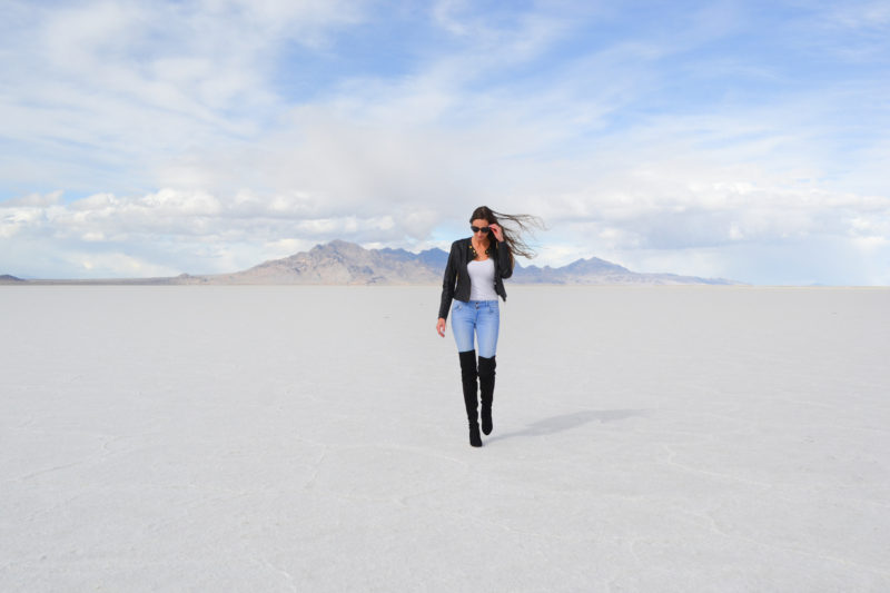
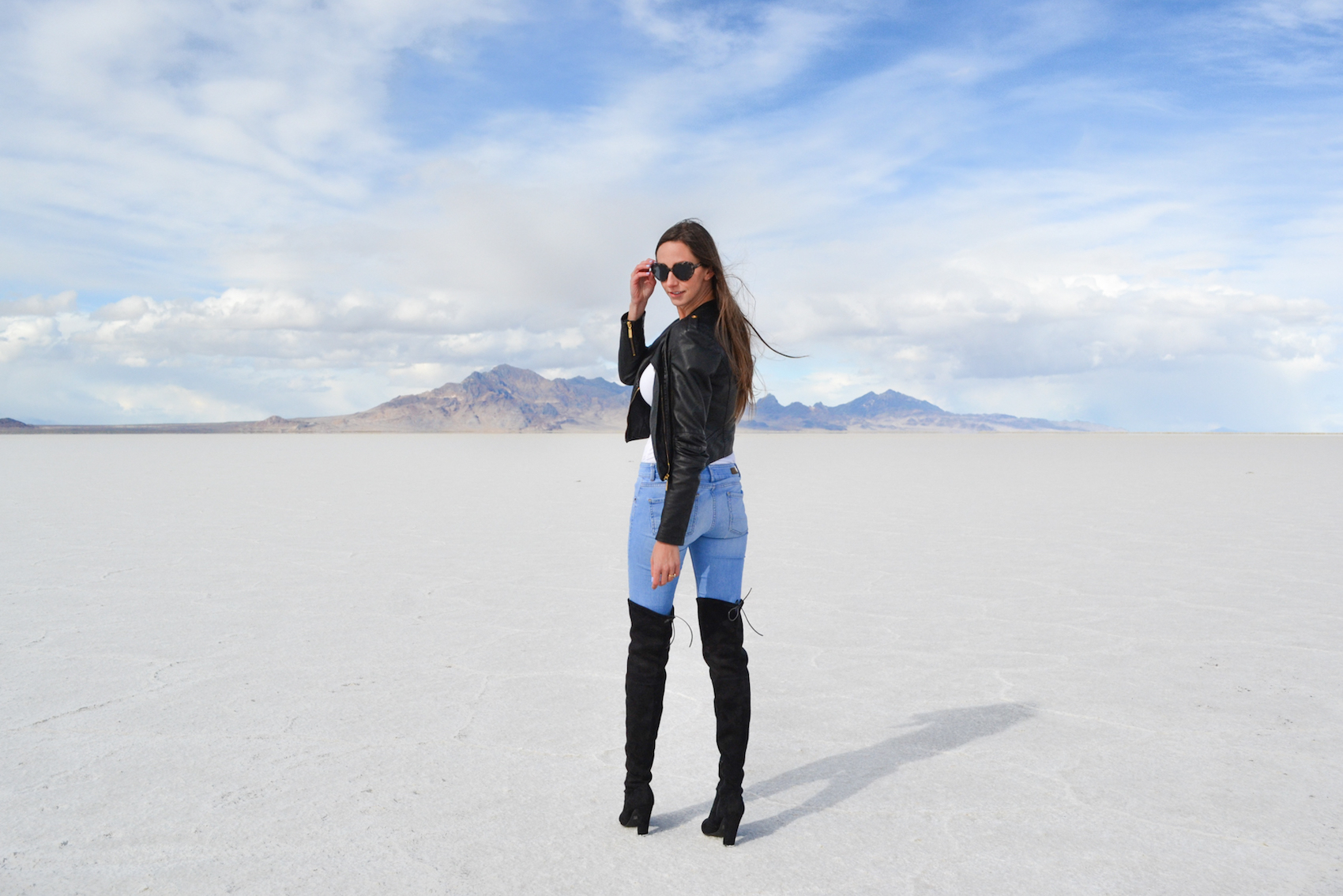
If you end up all the way on the west side, it may potentially be flooded, which can actually make for some really good photos. My preference was to shoot the hard part of the flats. But the flooded area would be great to capture some reflection shots. (I have no idea if it is always flooded or not. But also keep in mind that the west part is where vehicle access is. So, that could potentially affect the shape of the salt crust if it’s dry.)
Kayaking in the Bonneville Salt Flats?
There have been some viral photos and videos going around that show a bright, blue river through the salt flats. It looks magical, yes. But according to comments online, it’s also apparently toxic waste on private property that was likely photoshopped to be that blue.
I stumbled upon a tiktok that showed a girl trying to find it. When she got there, it was a dried up, brown ditch. The comments said that due to its viral stint, too many people were trespassing to get there. So, the owners decided to drain the ‘river’. Other users said that prior to it being drained, the ‘river’ might have been a little blue in the Spring, but the magical neon color that went viral was likely photoshopped.
Other Things to Know About the Bonneville Salt Flats:
Keep these things in mind when you stop to visit!
Trip Notes:
- You are not allowed to camp there whatsoever. There may be camp areas nearby that are not located on the salt flats, but you cannot stay ON them.
- There are very limited facilities. Another good reason to stop at the rest stop is so you can use the bathroom. Otherwise, there isn’t an entrance or welcome center.
- You should not drive on the salt flats if it has rained. Doing so can crack the layer of salt and underneath is mud. Not only could you potentially get stuck in the mud but it also could damage the salt flats. (Plus, it’s not great to leave huge tire tracks in nature for everyone else who wants to enjoy the natural formation)

The Bonneville salt flats are a beautiful place to see if you’re traveling through north Utah. It’s a bit different from the rest of the ‘wild west’ landscape you’ll see in the south. But the uniqueness is really interesting to see and worth going to!
PIN IT FOR LATER


I’ve been past there so many times driving from Denver to Sacramento … There are lanes to pull off to the side of the Interstate. We stopped and spent 45 minutes there just looking at all the rocks that people leave as a message or memento of their time there. They are everywhere along the Interstate for miles and miles. USP stopped with their lights on and only told us to make sure we sped up on the shoulder first before re-entering the Interstate.