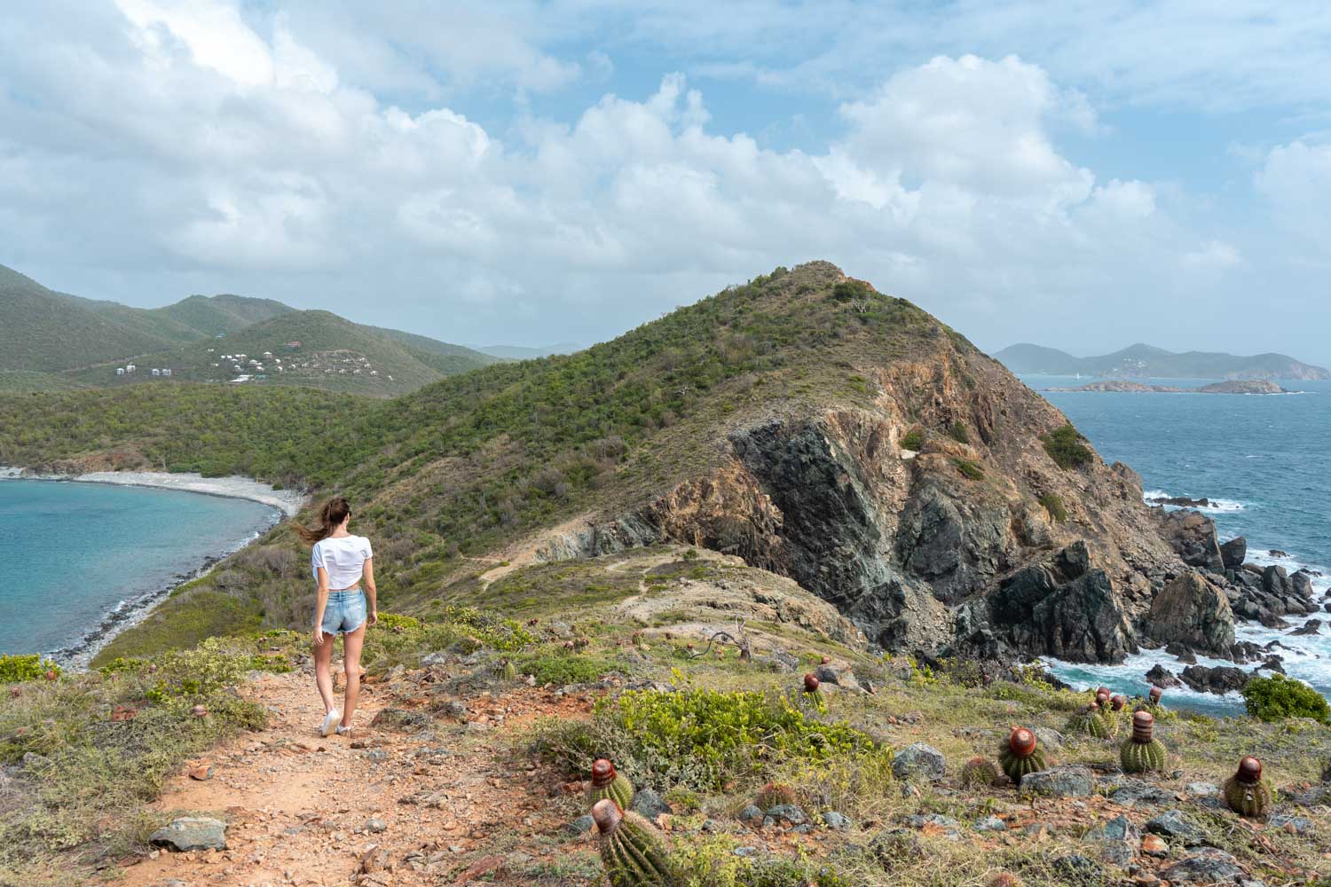
While searching for things to do in St. John, quite a few hiking trails popped up. But the one that frequently came up as the best hike was the Ram Head Trail St. John. If you’re only on a day trip to St. John, you may not want to spend your time hiking around the island when there’s so many gorgeous beaches on St. John to see. BUT, I can tell you that it is totally doable even if you’re only there for a day.
About two-thirds of St. John is comprised of the Virgin Islands National Park, which includes the Ram Head Trail. There’s a lot of beautiful scenery around and we really wanted to get a better glimpse of the island. This trail takes you up to the ‘Ram Head’ which is one of the hills along the coast. It gives you a great view of the island as well as some really pretty coastal views.
Hike Details:
- Difficulty: Moderate
- Distance: 2.3 miles
- Elevation: 314 feet
- Time: About 1.5 hours
The Ram Head Trail can be found at the very southern tip of the island. Another reason that might deter you from adding this hike to your itinerary is how far away it is. It’s one of the furthest places you can go from Cruz Bay, which is the main town on the island and the location of both of the ferries (people and car).
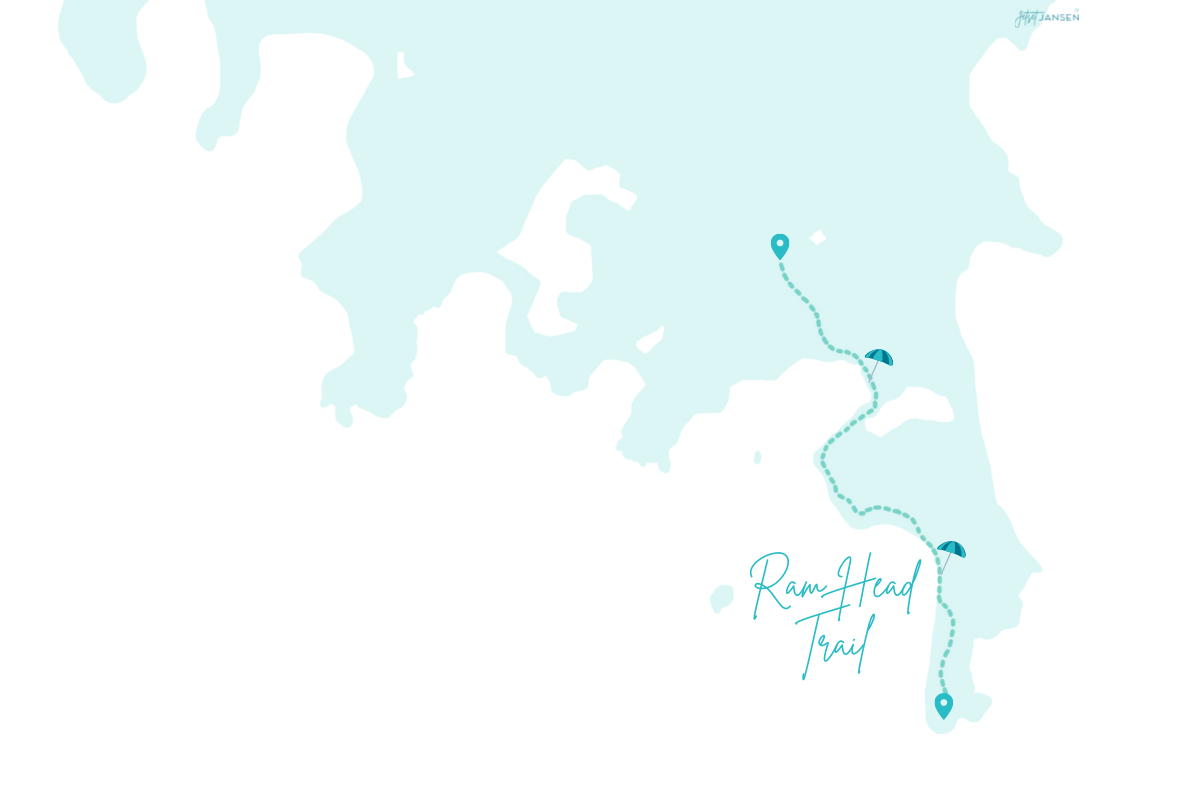
But as I said, this trail gives you a beautiful view of the island and even the drive through the Virgin Islands National Park is nice. A lot of the beaches are along the north coast, so this was a great way to see more of the island.
When to Go
The best time to do this hike is in the morning or late afternoon. Quite a bit of the trail is covered, going through the trees. But there are several parts that have no shade at all, such as the beaches you’ll be walking across and the ‘Ram Head’ which is the hike up the tallest section.
Morning will be the coolest and was a great time to go, but I do think hiking before sunset would give amazing views at the top. We were catching the car ferry back in the evening, so we wanted to do this first to make sure we had time for it.
Getting to the Ram Head Trail St. John
The trail starts near Salt Pond Beach, which is located towards the Southwest part of the island. From Cruz Bay, it’s a 35 minute drive, so you will need to have a car to reach it. Taking your rental car over on the car ferry or renting a car/jeep for the day is the easiest option and gives you a lot of flexibility.
There are taxis on the island but it’s not the best option. You may not have great cell service to call one and you’ll end up having to wait for them to pick you up.
We came over on the 8:30am car ferry and arrived in Cruz Bay by 9:00am. Once we were off the car ferry, we started the drive directly over to Salt Bond Bay and arrived around 9:40am. The drive is through the national park and is a quiet, easy drive through the trees. You’ll see a few small towns along the way as well.
Parking:
There is a small lot at the start of the trailhead that you can park in. But keep in mind that the trailhead starts at a beach, so you’ll also be sharing that lot with beach goers.
You may want to get there early to get a spot, but also to avoid the mid-day heat. The beach is not the busiest though and because there is likely a steady stream of hikers, you may not have a problem parking if you go later on.
Hiking the Ram Head Trail in St. John
The trailhead is actually the path to Salt Pond Beach from the parking lot, so once you park, head across the way to the dirt path.
The Trailhead
The trail down to the beach is a little longer than I thought it would be. For some reason I anticipated it being steps from the parking lot but it’s about a 10 minute hike down. The path is a rocky, dirt path that leads to an open area with a small restroom and trashcan. These are the only facilities located at the beach (if you plan on staying for a beach day).
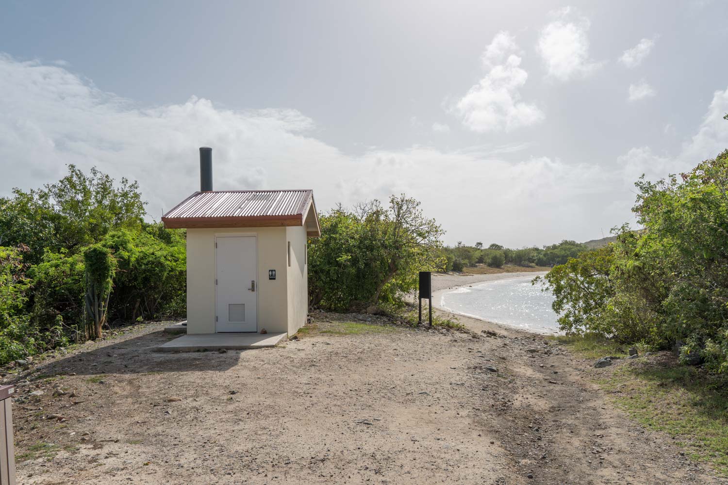
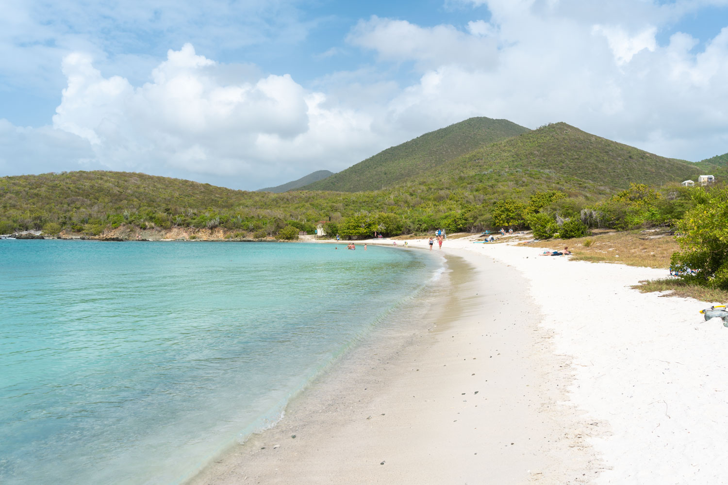
Salt Pond Beach
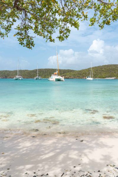
One of the coolest parts about this hike is that part of the trail is literally the beach. You’ll be walking across the beach in your hiking gear and tennis shoes right in front of beach goers. Salt Pond Beach is a gorgeous, little hideaway in a quiet cove. The water was incredibly still and it’s supposedly a great place to snorkel as well.
Because it takes some effort to get to, the beach was quiet when we arrived and stayed fairly quiet when we arrived back from the hike. If you’re looking for a secluded beach spot on the island, this is a great place to spend the afternoon.
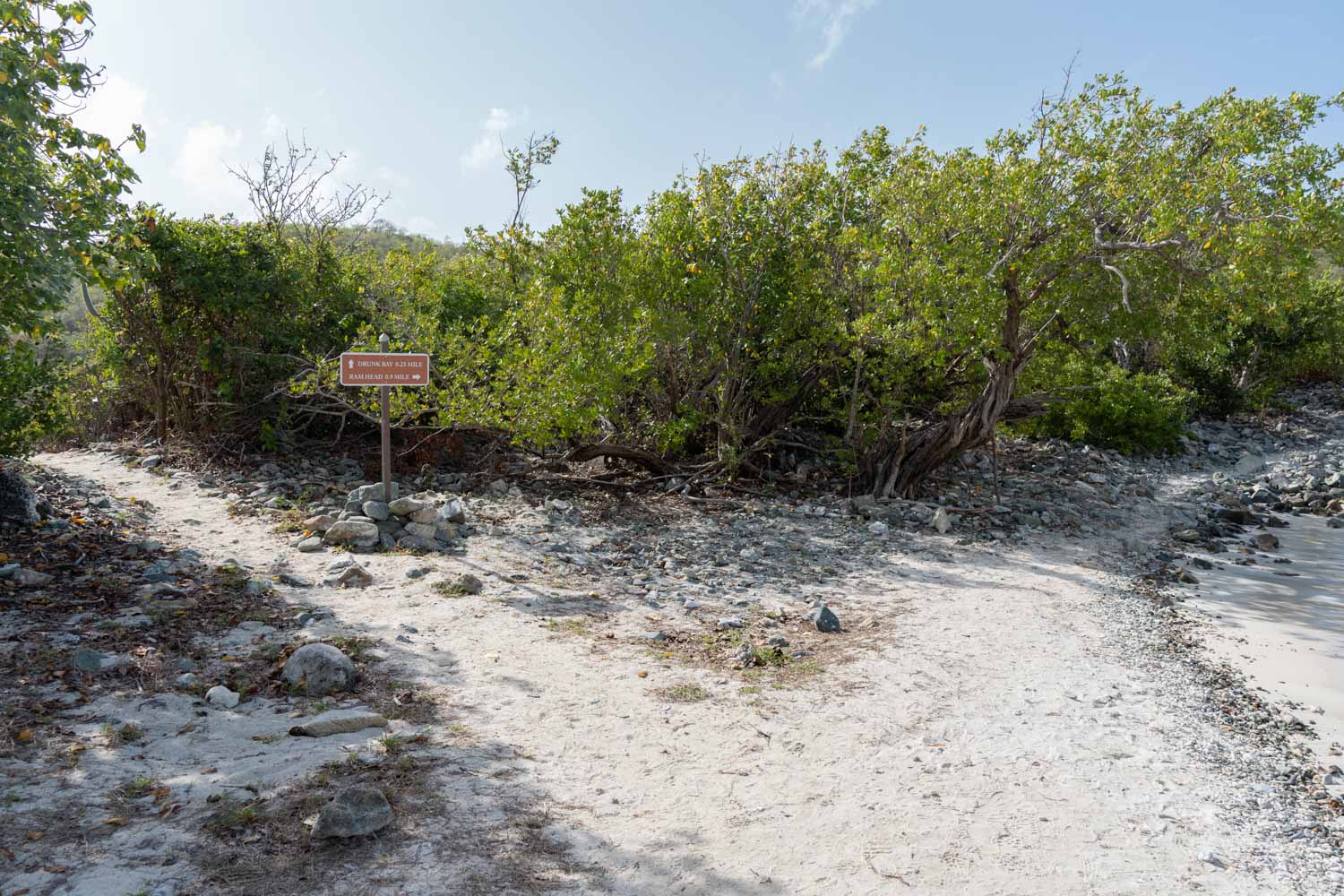
Tromp along the sand until you reach the far side of the beach. Here you’ll find a little sign that points you towards Drunk Bay (they’ve got some interesting names around here–the rock off of Blue Cobblestone Beach is called Booby Rock) and Ram Head.
If you take the Drunk Bay path a few steps over, you’ll see the Salt Pond, which is a brown, murky (read: unimpressive) body of water.
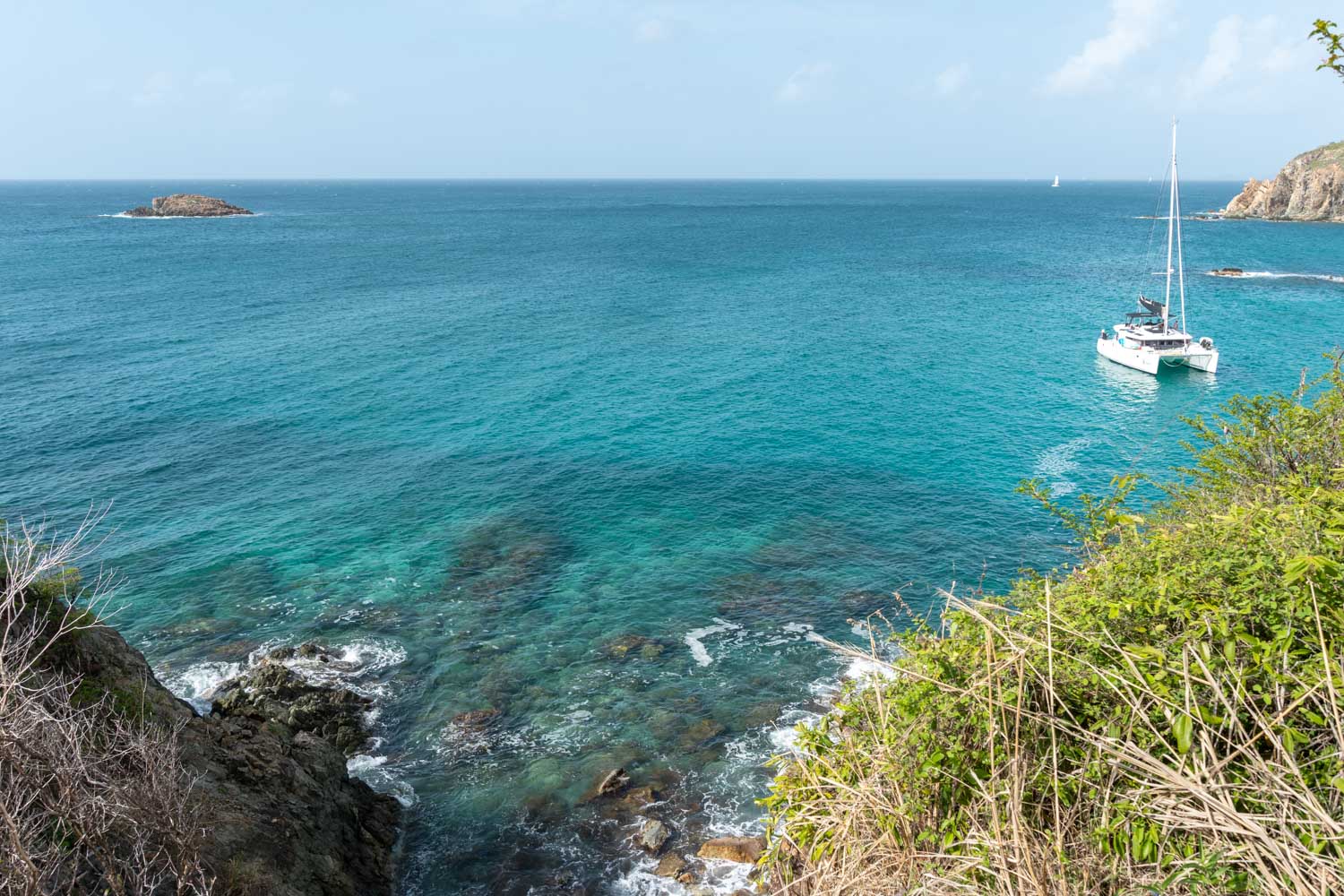
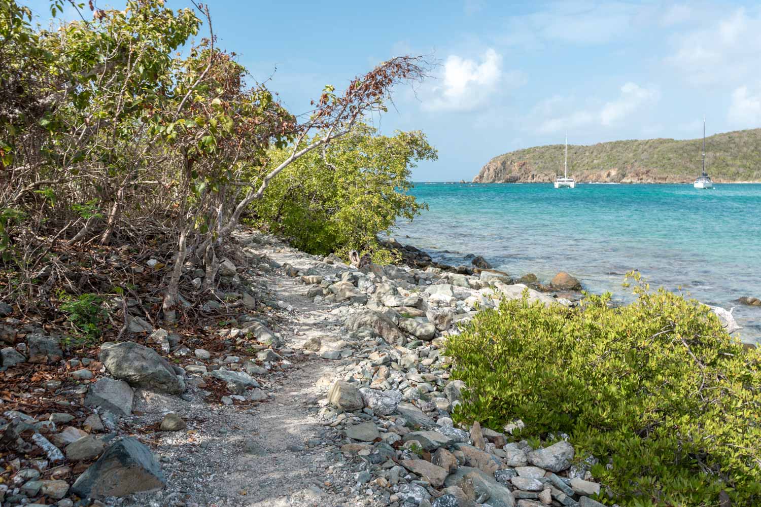
Otherwise, you’ll want to make sure you stay to the right and follow the rocky path along the shore of the water. This section was actually one of my favorite parts of the trail because you walk right along the coast and have some great views of the cove and water.
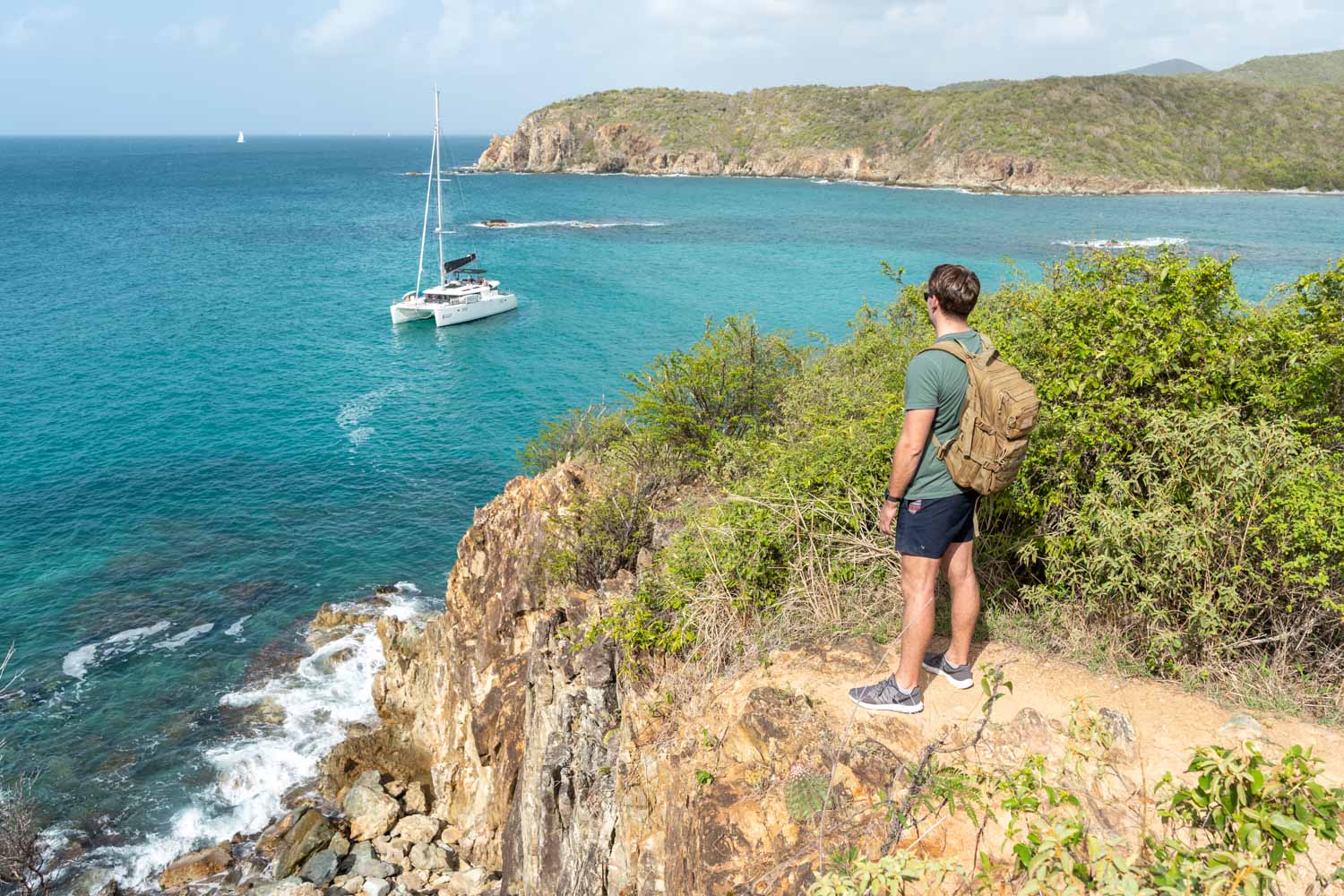
Blue Cobblestone Beach
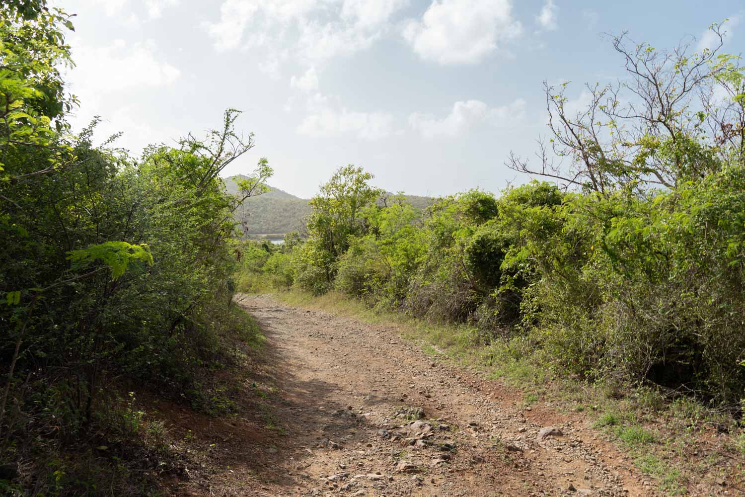
After you walk along the coast, you’ll end up on a narrow dirt path through the trees. This part is shaded with a slight incline as you go. There’s not any view during this part except for the trees, but you’ll walk through the forest for a bit.
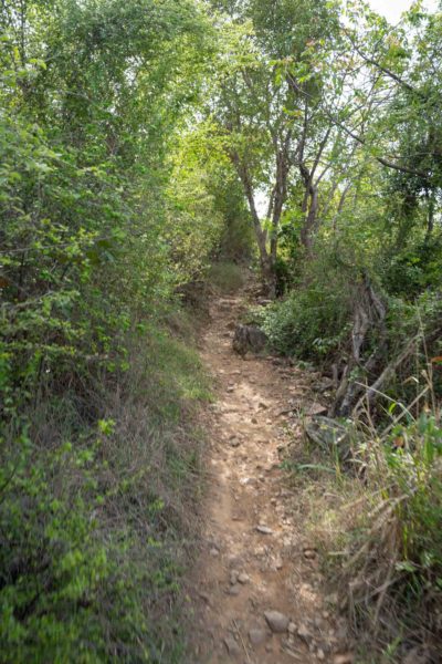
Eventually, you’ll come to a little fork in the path and it kind of looks unintentional. We weren’t far from the coast and ended up taking the fork to the right. That one leads to a small chasm in the ground and cuts off the trail.
It seems like this might have been the original path, but you’re forced to go around it. So take the left fork and continue through the trees until you reach the path down to Blue Cobblestone Beach.
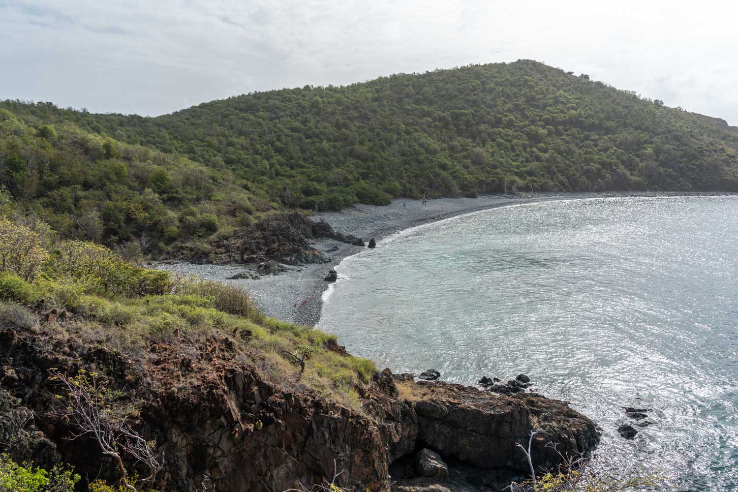
This beach is full of pebbles and rocks–some quite large that make walking over them a little awkward. Some even look like pieces of coral if you look close enough. You’ll do the same thing at this beach, which is walk all the way across it to the far side where the rocks start getting larger.
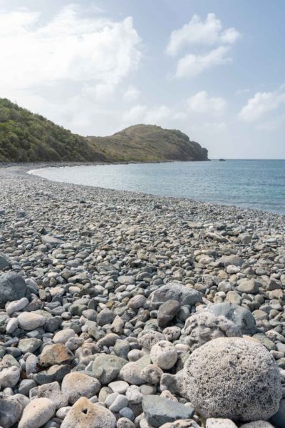
If there are any little pathways off the beach, ignore those. Follow the rocks by the water and you’ll eventually see a little sign in the rocks that says ‘trail’ with an arrow. That trail will lead you up the hill and you’ll start to actually ascend the ‘ram head’.
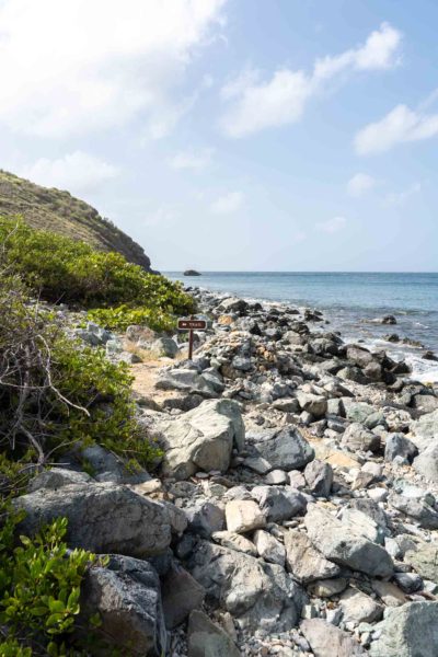
Ram Head
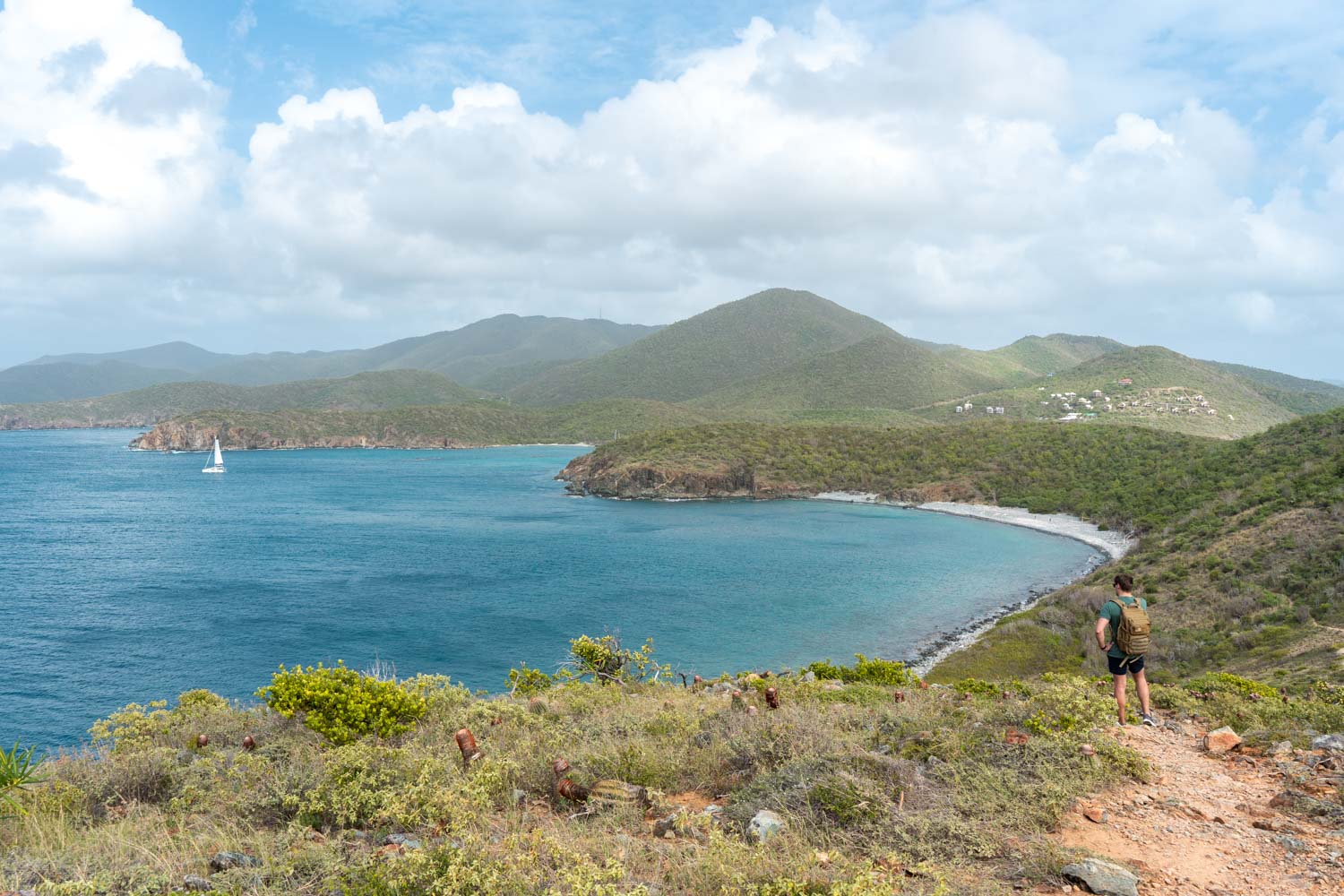
Once you head up the hill, you’ll start to see some different plants and the gorgeous view of the bay and coastline. This is why we chose to do this trail–because we had heard it had some of the best views of St. John. And it’s definitely a rewarding view at the top.
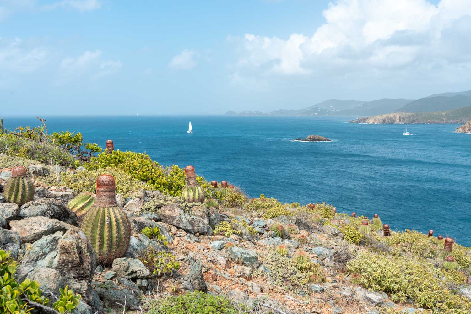
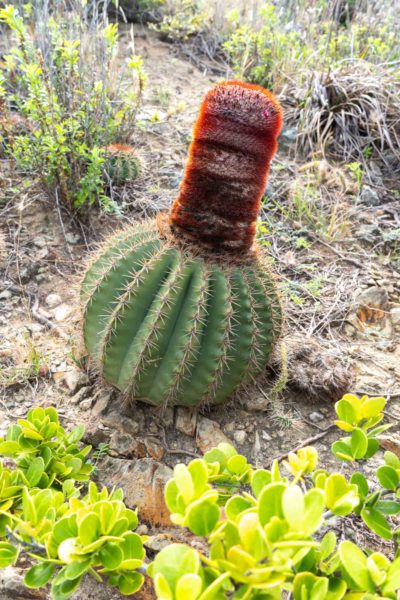
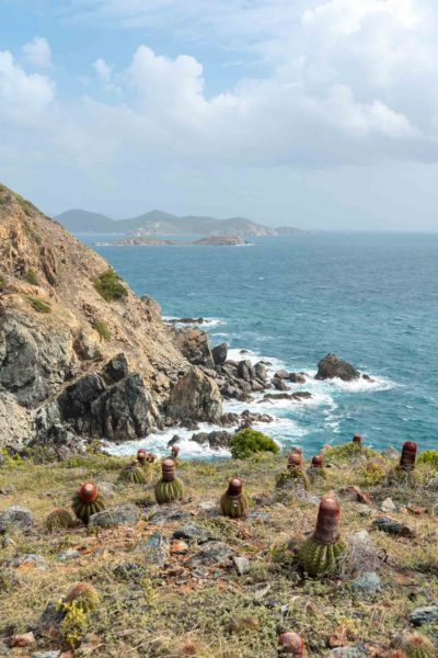
This part of the trail has a ton of cacti. They cover the entire hill and are a really unique shape. I think they’re called melocactus but they’re fun to see everywhere and make the landscape interesting.
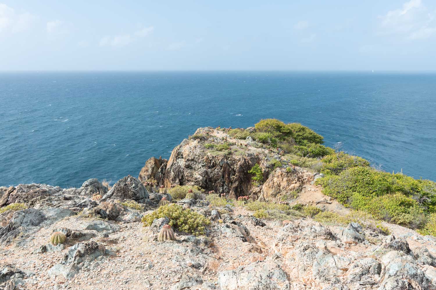
The view at the top is an endless sea of blue and essentially a large, open rocky area. You can see both sides of the trail that you came up and the hilly landscape of the island. There is absolutely no shade on the ‘ram head’ and it is incredibly windy, but worth the hike, especially the view on the way back down!
The Return Hike
This trail is out and back, so once you get to the top and take some pictures, you’ll turn around and come back the way you came. The way back is mostly downhill so you can cover the return pretty quickly.
It took us about 40 minutes to get to the top and another 55 minutes to get back to the car. But the way back includes time taking photos at the top and stopping at the beach to take a swim.
Salt Pond Beach is a really pretty beach in the US Virgin Islands and incredibly welcoming once you come off the trail. If you had your swimsuit on for the hike, strip off your clothes and dive in! We spent some time on the beach after the hike and it’s a good place to relax for a bit, get some snacks and swim.
Beware the sand stickers! One thing about this beach though is that there are little sand stickers. I’m not sure what they’re called officially but they are just little…sharp stickers…that blend in with the sand and hurt like heck when you step on them.
You’ll find them closer to the grass, but every now and then you’ll step on one nearer to the water and yell out. It’s like hot potato for adults.
By 11:15am, we were back in the car and ready to explore the rest of the island.
Things to Know
- The only facility on this trail is the bathroom before Salt Pond Beach.
- Dogs are allowed on the trail but must be on a leash.
- No drones are allowed in the Virgin Islands National Park.
What to Bring
- Sunscreen- This is always one of the top things to make sure and have. A lot of this hike is in the direct sun, so you’ll want to make sure you put it on before and throw it in a bag because it can get HOT up there on the hill.
- Water Bottle– You’ll want to have plenty of water on your hike and preferably a bottle that keeps your water cold!
- Snacks- This isn’t the longest hike, but it’s always a good idea to throw in some granola bars or something to have in case you need a pick-me-up. You can bring some to eat on the beach afterwards!
- Good Hiking Shoes- This is a hike after all and you’ll be climbing up some rocky areas. We saw a few people walking in their swimsuits and flip flops, thinking they’d just pop over from the beach. But you’ll want some tennis shoes.
- Light Weight Beach towel– Since you’ll be crossing a perfectly good beach to swim at, you’ll want to throw in a small towel so you can cool off after your hike!
- Swimsuit- If you plan on swimming at the beach afterwards (or before), make sure to bring or wear a swimsuit. There is a lone restroom right before you get to the beach that you can probably change in, but I ended up just hiking in mine!
After hiking the Ram Head Trail, make sure to check out some of St. John’s beaches! We headed up the road to the north coast where some of the most beautiful beaches in the US Virgin Islands are. Don’t miss a stop at Maho Beach, Cinnamon Bay and Trunk Bay–check out the full guide below!
Read more on St. John and the US Virgin Islands:
PIN IT FOR LATER




Leave a Reply