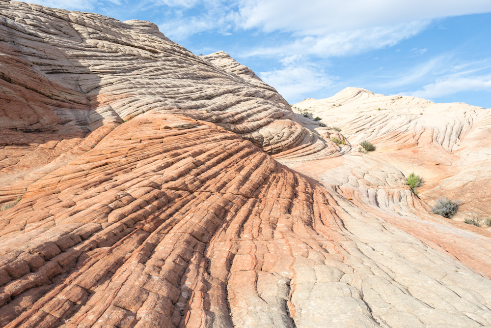
We can’t seem to get enough of Utah–mostly because it’s home to some of the most incredible landscapes in the USA. On our second time road tripping through Utah, we decided to go to some lesser known areas. Hiking Yant Flat to the Candy Cliffs of Utah was definitely on our list since it’s close to the southwest corner of the state and we were driving from Las Vegas. But more so because of the incredibly unique rock formations this hike leads you to.
Hike Details:
- Difficulty: Moderate
- Distance: 3.4 miles
- Type: Out and Back
- Time: 1.5-2 hours
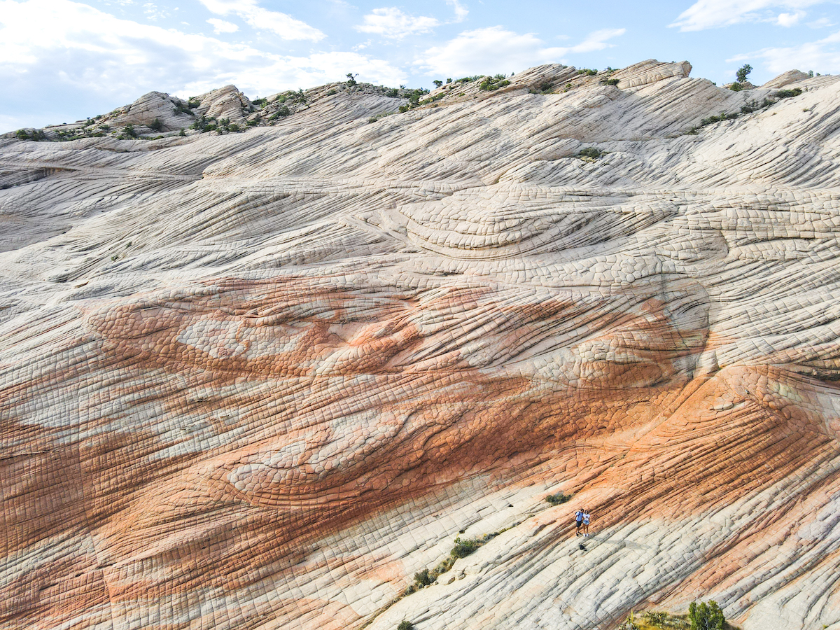
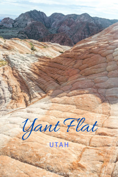
Yant Flat is still a relatively unknown place with a rocky area of different patterns and swirls of colors. It’s nicknamed the “Candy Cliffs” because the orange and white colors seem to swirl along the formations. It’s a fairly easy hike to do and has some incredibly unique Utah landscape.
When to Go
There’s a few things to keep in mind when going to Yant Flat. One is the road getting to the trailhead. It’s a bumpy ride with some steep edges. This road is best traveled on outside of the winter months so you don’t have snow, and also when it isn’t rainy. You don’t want to risk getting stuck.
The other thing to keep in mind is that there is little shade on this trail and none when you reach the cliffs. It’d be better to explore earlier or later in the day so you aren’t exposed to the direct sun.
Getting to Yant Flat
Yant Flat is located just outside of St. George Utah in the southwest corner of the state. From St. George, travel north on I-15 to Leeds for about 15 miles. From Main Street (traveling north) take a left on Silver Reef Road. Continue straight at Oak Grove Road and then take a right on FR-032.
FR-032 is the bumpy, dirt road that will take you to the trailhead. It’s got some steep edges at times and winds you along the hills. If you have a fear of heights, you might be driving with white knuckles. It’s only about 10 miles but takes about 30 minutes to drive.
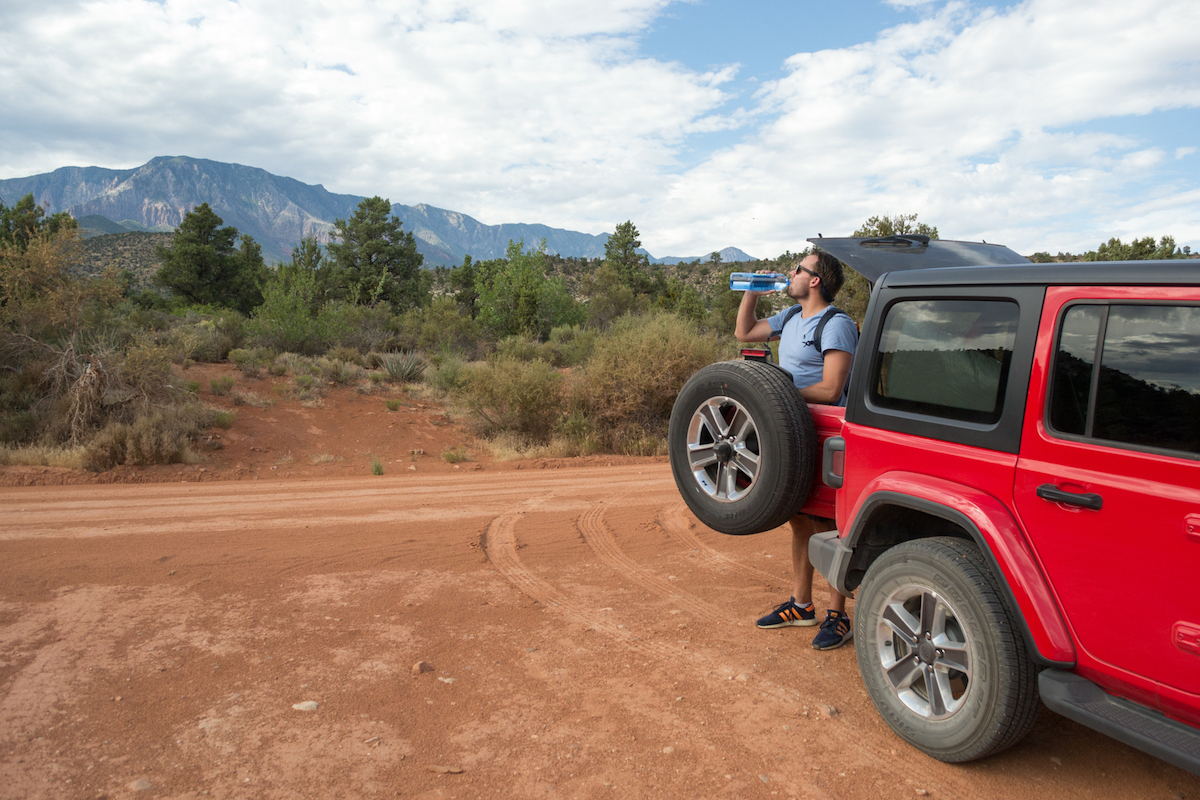
I’m not sure we would have been able to find this place had I not looked up information beforehand. Yant Flat is a little out there and I’d recommend having a car that can handle off roads.
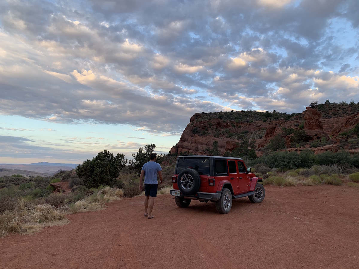
You can probably get here just fine in a regular car, but it will be a rocky ride and if you don’t want your car dinged up, it’ll take you longer to navigate. You also don’t want to get a flat tire out here (I read several reviews of people who did) as you’ll likely be on your own with no cell service. We took a jeep out here and it was still a bumpy ride and took us awhile to get down the road.
Trail Tip:
The regular Maps app on iPhone doesn’t identify Yant Flat, but if you download the Google Maps app, it will. Type in “Yant Flat Trailhead”.
We had no service so we were hoping it would get us there and it did. There are also no markings telling you that you have arrived. I just had to keep looking at the map and we stopped when it said we had reached the trailhead.
The Trailhead
When you arrive, look for two small dirt areas to park. There are no signs telling you that you’ve arrived and there was only one other car there when we showed up. We ended up parking in the second area and had no idea where the trailhead started. We saw several little dirt paths and decided to just start walking but quickly felt lost and like we weren’t in the right area.
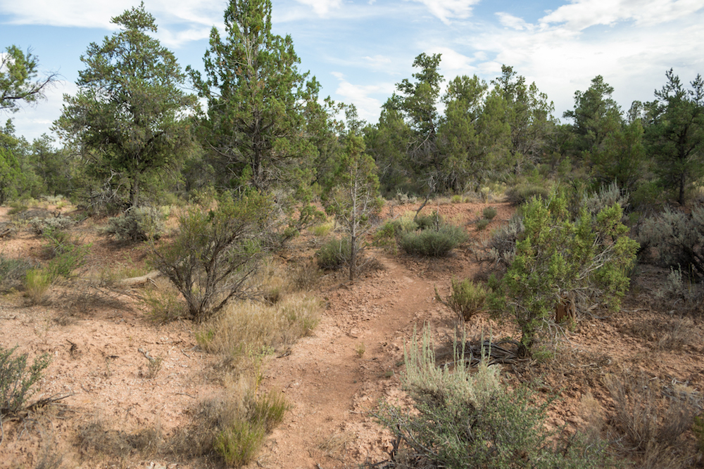
Turns out that if we had parked in the first lot, we probably would have seen the bigger trail. We eventually ran into it but it probably would have saved us time and confusion if we would have just parked in the first area.
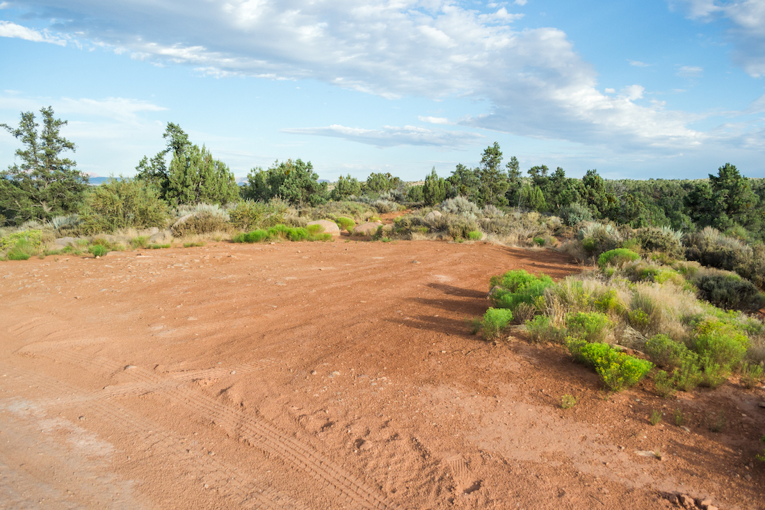
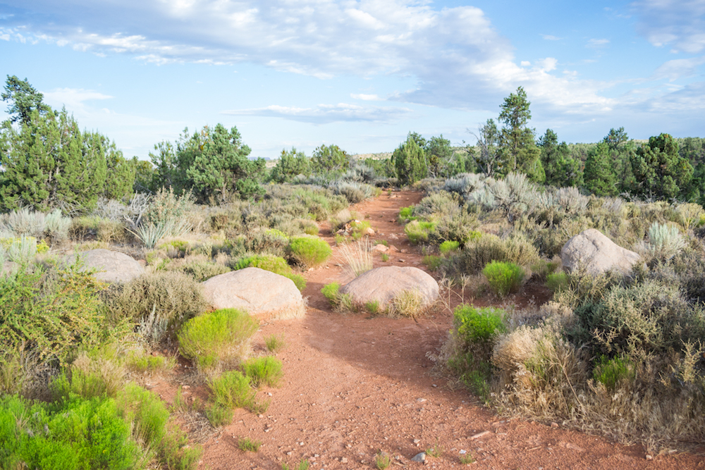
Anyway, the path is fairly large, so look for that. Another confusing aspect is that it also goes by “Anna’s View Point Trail”, so don’t be confused if you see that on Google maps also.
Hiking Yant Flat
The Yant Flat trail is about 3.4 miles round trip and mostly flat with a slight incline. The first part of the trail is a first path. You’ll see lots of small, single-person dirt paths in the area as well (this is what we ended up on before running into the main path). Further along is when you come to a rocky area.
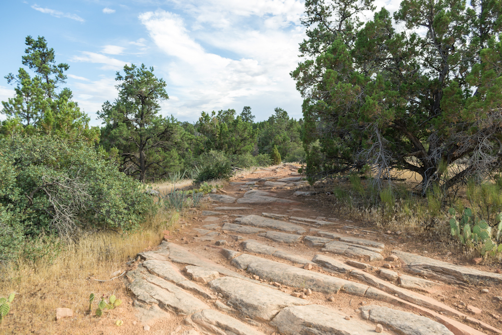
Once you’re past the rocky area, the path gets a little sandy and that’s when you know you’re almost there. You’ll hike along a sandy path for a hot minute before reaching the rock formations.
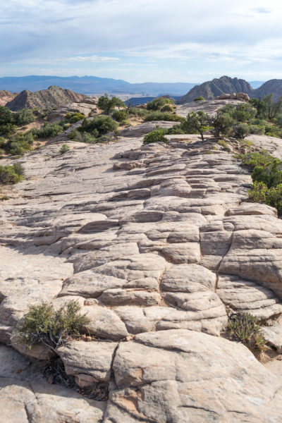
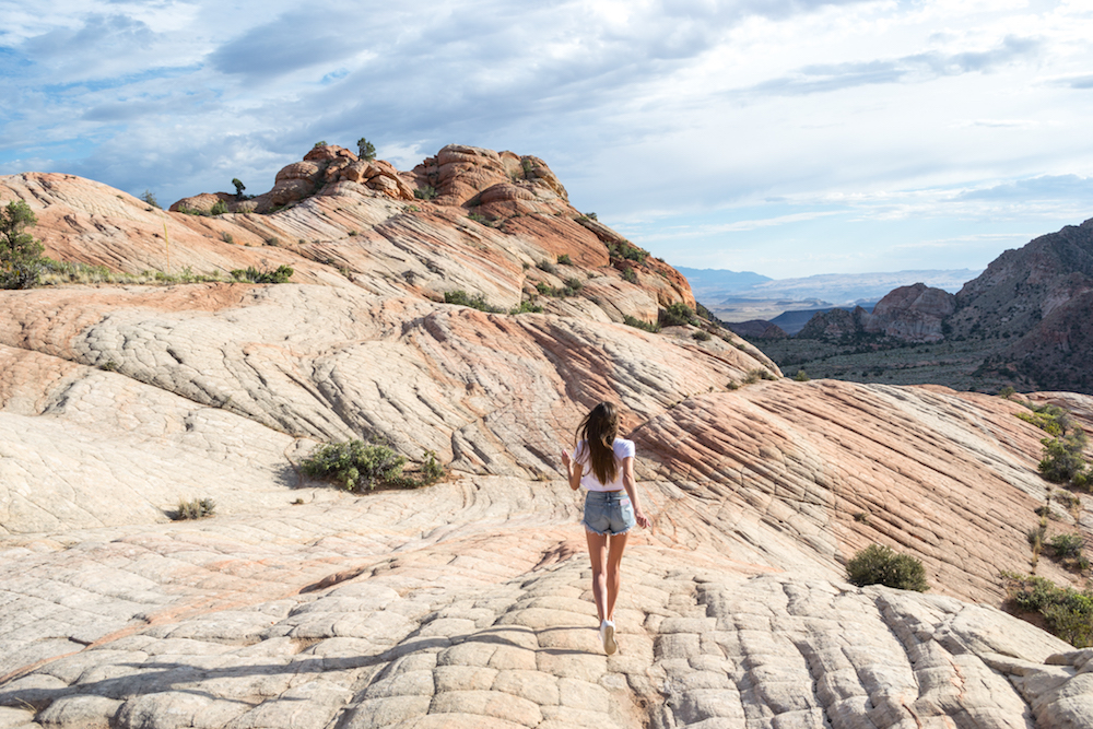
This is where the trail ends and you’re free to explore at your leisure. It comes out on a gray, rocky area that has some really cool patterns in the rocks. It sort of looks like a dragon’s back because it creates small rectangles. That part alone is cool, but you’ll want to keep exploring.
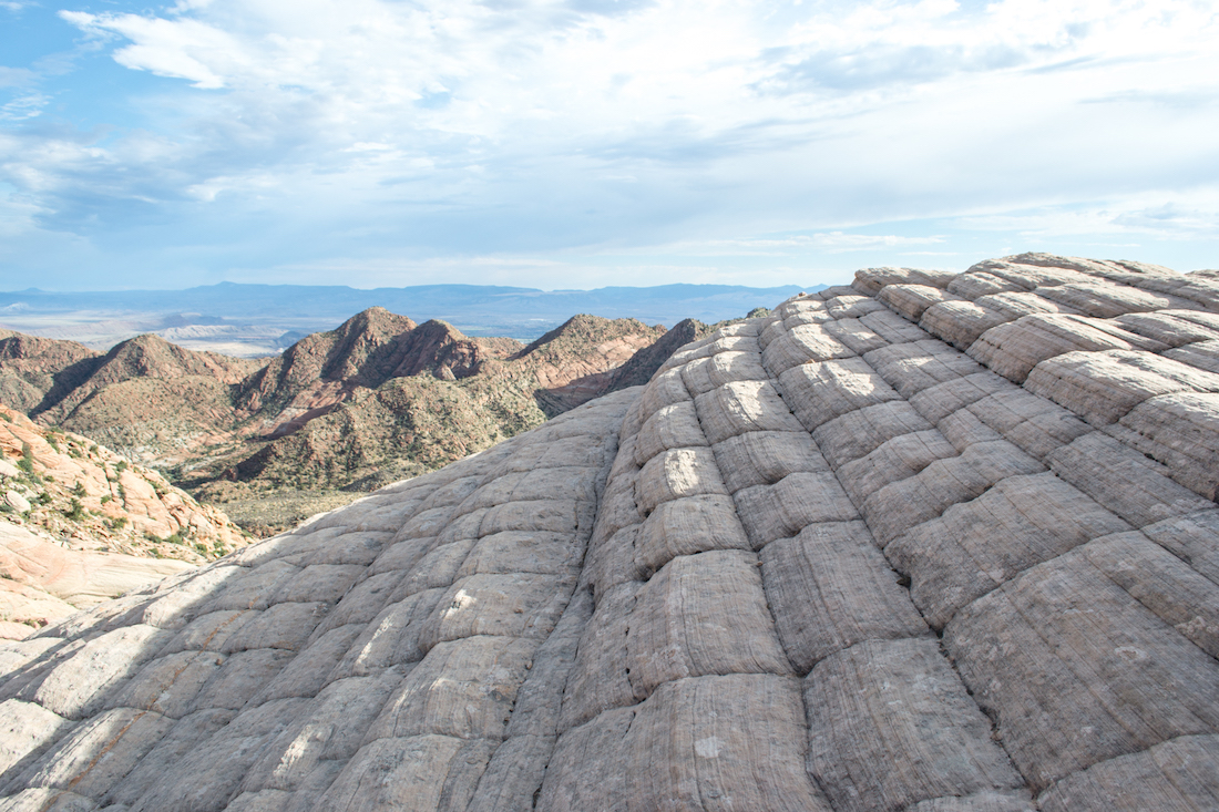
This part is technically Anna’s View Point (I believe), but if you head left, that’s where you will see the Candy Cliffs of Utah.
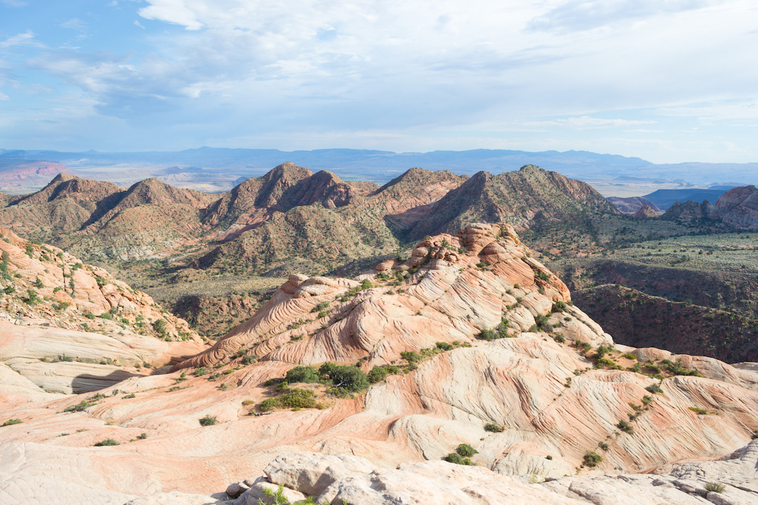
The view from the top is incredible and you can see the orange and white swirls just by walking a little further along the top of the rocks. I’d definitely recommend hiking down into them so that you can get better pictures and to see them up close but just remember–the further down you go, the higher you have to hike back up. And it was definitely a struggle to hike back up for the young-ish and out of shape (me–that does not include my husband–he was fine).
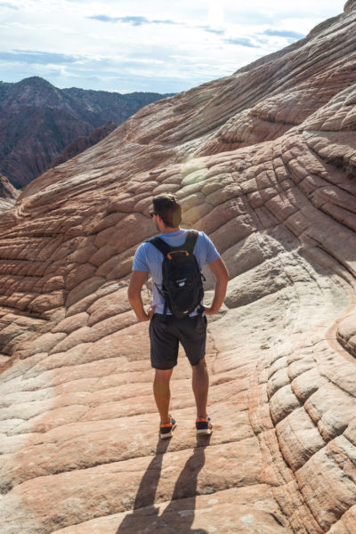
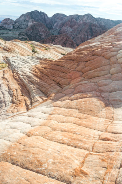
The orange patterned swirls definitely make you want to explore around each corner though. It’s hard to know where the best coloring is or best views without wandering around.
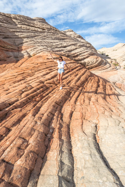
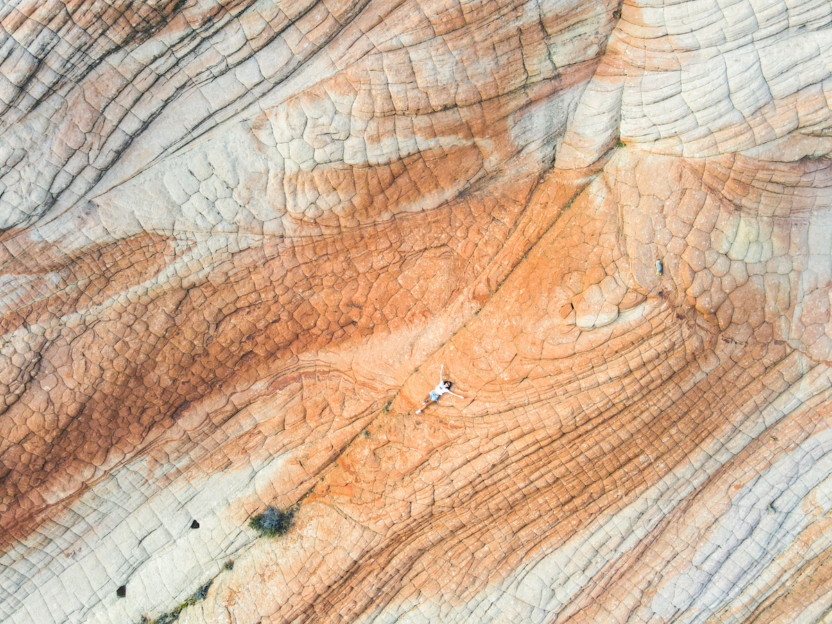
This area is a lot of fun to look at and explore! We didn’t end up staying too long but saw some others who had arrived just in time to catch the sunset.
I would have loved to stay and watch the sun go down, but since we were camping, we wanted to make sure we had enough time to hike back, drive back and then set up camp. We started the hike at 5:50pm and got back at about 7:30pm. I think we could have stayed a little longer to explore but it was a good amount of time to go.
Trail Tip:
Make sure you take note of where the trail comes out at so you can get back. It’s easy to lose sight of the path once you start wandering around on the rock formations.
Things to Know:
- Cell service is pretty minimal, make sure you have the Google Maps app downloaded ahead of time to help you get to the trailhead.
- There are no facilities when you arrive. No restrooms, no tables, etc.
- Dogs are allowed on this trail with a leash.
What to Bring:
- Water Bottle – always stay hydrated while hiking.
- Sunscreen – for the most part, you’ll be entirely exposed to the sun.
- Hat & Sunglasses – for sun protection.
- Good hiking shoes – especially if you are wanting to explore all over the rock formations (the trail itself is pretty easy).
- Charged cell phone – you’ll want to be able to pull up Google Maps to keep track of where you are.
- Small blanket or something to sit on if you want to have snacks out there or relax a bit. The rocks are hard and hot!
READ MORE: The Ultimate Arizona Utah Road Trip
Where to Stay:
Leeds is the closest town to Yant Flat but it is very small…I’m not sure there are any hotels. Otherwise, if you are staying in a hotel, I’d recommend staying the night in St. George before heading on to your hotel near Zion National Park.
You can also camp near Yant Flat as there are campsites right along FR-032. You’ll see the pullout for campsites along the way and can camp as close or as far from the trailhead as you’d like.
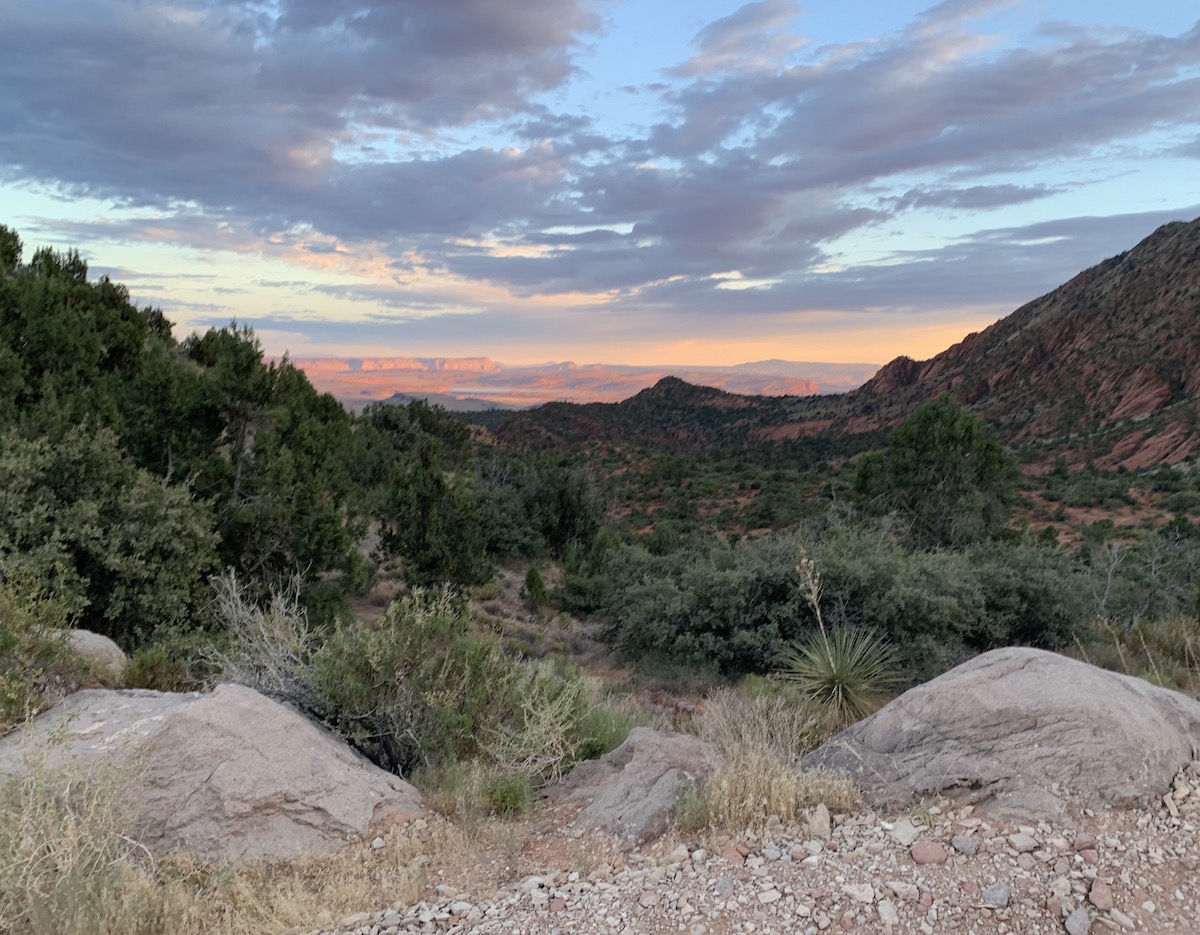
We were camping and chose a spot with a great view that was next to a cliff edge. Although, it ended up having an insane amount of bees that showed up once we started cooking. They were back in the morning also, so we packed up and moved closer to the town to make breakfast.
One of the first spots to camp on the road also has a great view but the bees were there too! So much so, that we couldn’t pull anything out to cook with. They were swarming.
We ended up going to a park in town to cook instead. Great views but not our favorite camping experience. Plus, there were lots of critters rustling around at night too.
Hiking Yant Flat is definitely worth it though! It takes a little bit of effort to find it and make sure you’re in the right spot but it’s a fun and short hike to do. Utah has some great scenery and this was a pretty unique spot to see!
Where to Go Next:
If you’re looking for other things to do nearby, check out some of these other places!
- Sand Hollow State Park – This state park is on a reservoir and has orange rocks coming out of the greenish-blue water. It’s also an OHV area for off-roaders to bring their 4-wheelers and ride through the sand and over rocks.
- Quail Creek State Park – This is another state park that is located on a different reservoir. There’s no OHV area so it’s a bit quieter and has a sandy beach area perfect for cooling off.
- Zion National Park – About an hour down the road is where you’ll find Utah’s most visited National Park: Zion. Head here for stunning scenery and beautiful hikes.
PIN IT FOR LATER



I never heard of this spot before, but definitely keeping it on my radar for when I eventually make my way back to Utah. It looks epic! 🙂
I love this hike so much! It reminds me of The Wave
I can’t say I’ve heard of this before! It looks like a really pretty spot in the national park to hike around though.