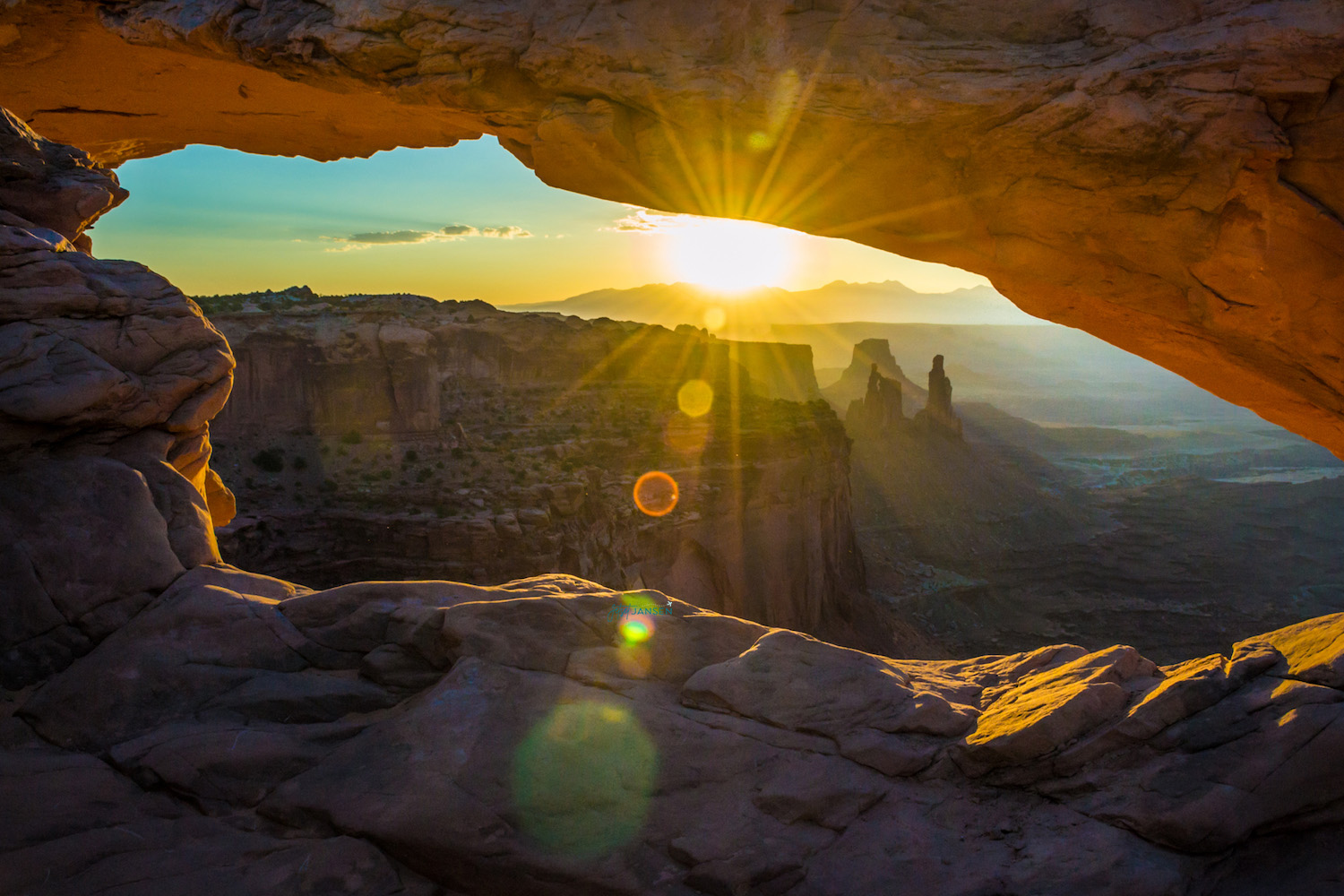
Utah has some of the most insane landscape in the US and is home to five National Parks: Zion, Bryce Canyon, Capitol Reef, Arches and Canyonlands. While the other parks are incredible to see and have some really unique landscape in Utah, you can’t disregard Island in the Sky, Canyonlands.
Canyonlands is the least visited National Park in Utah, but is actually the largest. While the rest of the parks usually hit over a million visitors in a year (and some hitting several million), Canyonlands is consistently lower. What astounds me even more is that Arches National Park saw 1.2 million visitors in 2020 and Canyonlands did not even see 500,000. And they are right next to each other.
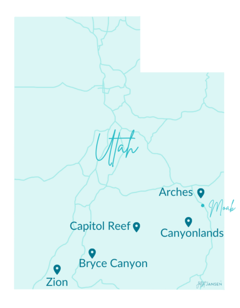
Arches AND Canyonlands are located right outside of Moab, Utah in the southeast area of the state. And I’d say both parks are one of the top things to do in Moab. Somehow people are sleeping on Canyonlands and I HAVE NO IDEA WHY. It’s a 30-minute drive from Arches National Park and 35-ish from Moab.
About Canyonlands National Park
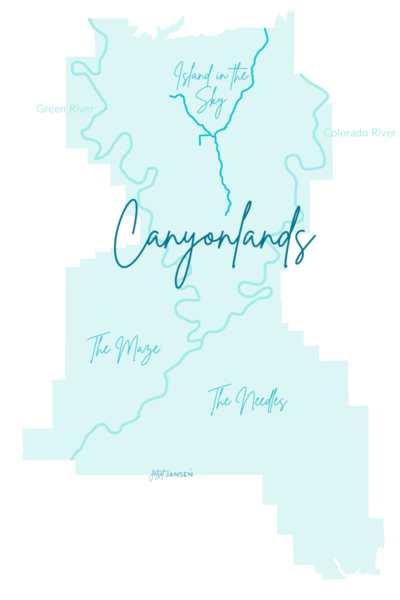
Canyonlands happens to be Utah’s largest National Park. It became a National Park in 1964 and preserves 337, 598 acres of land and water. It’s divided into four districts by the Green River and Colorado River. The four districts in Canyonlands are: Island in the Sky, the Needles, the Maze and the Rivers. (The ‘Y’ shape at Island in the Sky is a drivable route to viewpoints.)
Important Info:
- Entrance Fee: $30 per vehicle
- Hours: Open 24-hours a day all year
- Visitor Centers: Locations at Island of the Sky and the Needles. Open from 8am-5pm.
- Ranger Station: Location at the Maze. Open from 8am-4:30pm.
- Weather: ‘High desert’ region consisting of a wide range of temperatures.
Canyonlands National Park is my favorite park that we visited on our Arizona/Utah road trip. I either didn’t do too much research on it or the pictures I saw weren’t very great…but for whatever reason, I had no idea what to expect.
Visiting more than two National Parks this year? Make sure you buy the ‘America the Beautiful Annual Pass’. It’s $80 for the pass and can be used at over 2,000 Federal Recreation sites–aka the National Parks!
The best way to purchase is at the entrance of any national park where you would normally pay the entrance fee. Or you can buy it online and have it shipped to you.
Island in the Sky
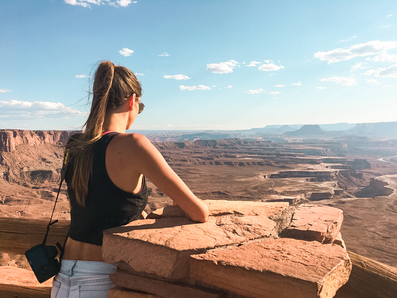
Island in the Sky, Canyonlands is the most accessible part of the park and has amazing views of layered canyons. This section is in the shape of a ‘Y’ and there are many drivable viewpoints that you can get out at to walk around. Each viewpoint has unique landscape and we were surprised each time we stepped out of the car.
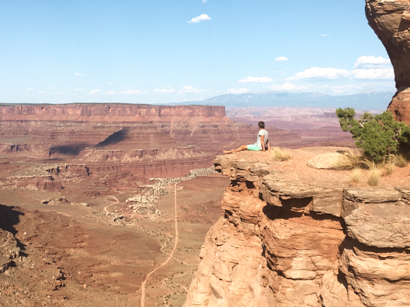
There are a few hikes to do here as well, some that are quick and some longer loops. The visitor center is at the entrance and the only place where water is available in this section. So you’ll want to fill up your water bottles before heading out to explore the rest of the area.
If you don’t plan on doing any longer loop trails, Island in the Sky is very easy to see in about half day to one day.
The Needles
The Needles section is a little more remote than Island in the Sky and the two aren’t connected, so you have to access it from a different way. It’s located about 40 miles south of Moab and then 35 miles west into the park.
While we didn’t go to this one, it looks to have some great hiking trails and photo ops.The needles remind me of the hoodoos at Bryce Canyon. They are tall spires with different layers of rock that jut out of the ground.
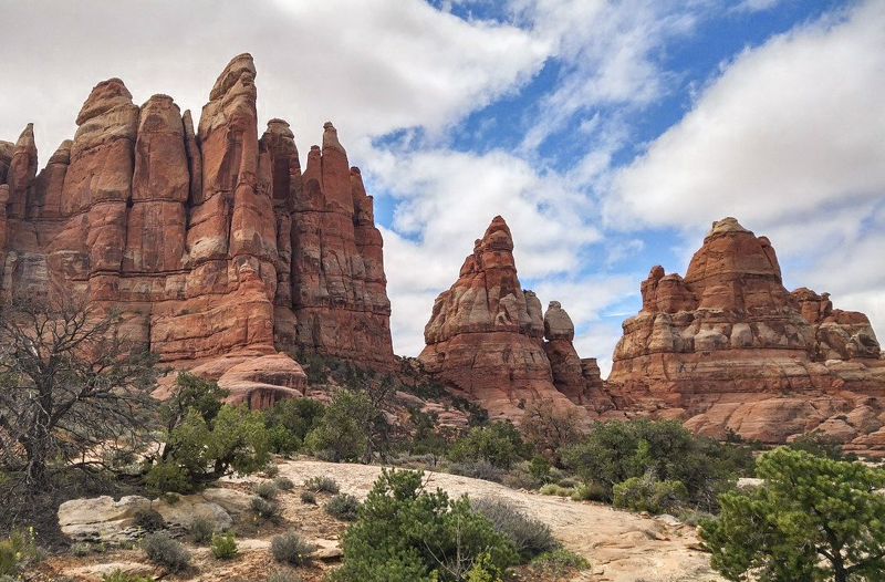
There are lots of hiking trails around the needles that take several hours to complete. Or you can opt for the short interpretive trails that highlight the cultural and natural history in the area.
While the main road is paved, there are several off-roading opportunities and you’ll need a 4X4 for some of the roads. I’d probably leave a day to explore the Needles and longer if you want to do some of the longer hikes.
The Maze
The maze is described as a puzzle in sandstone. This is the most remote section of Canyonlands and least visited. It takes about 2 hours from I-70 to get to the ranger station (You’ll pass Goblin Valley State Park on the way!) and another 3-5 hours on top of that.
This section is for the travelers who are up for primitive wilderness and self reliance. There is no water availability and you will need a backcountry permit for primitive hiking routes and camping.
On the NPS website, it says, ‘You should be prepared for self-rescue’, so this isn’t for the novice hiker, camper, road tripper. You’ll want to make sure you have all the extra tools, maps and supplies for going off the grid, not to mention a reliable 4X4 with spare parts. Most people spend at least 3 days here.
The Rivers
The Colorado River and Green River cut through Canyonlands forming a large ‘Y’ shape and divide the districts. The two rivers themselves are calm until they combine and create white water.
The area they join is The Confluence and they flow through Cataract Canyon. If you’re experienced, you can get out on the rapids. If you want calm waters for canoeing or kayaking, you’ll want to stay north of The Confluence.
Any trip to The Rivers, either overnight or a day trip, requires a permit.
Things to Do at Island in the Sky Canyonlands
We arrived in the area around 5pm and decided to get a map of Canyonlands at the Island in the Sky Visitor’s Center. By this time, the Visitor’s Center was closed and there was hardly anyone there. We were really close to a viewpoint so we decided to drive through and check it out.
Parking was a breeze and the park was so empty, that we decided to keep driving along to different viewpoints. We knocked out quite a few before sunset and then decided to return in the morning. At some of the viewpoints, we were the only ones there.
Visitor Center
The Visitor’s Center is right near the entrance and is a pretty small building. Hours vary on when it’s open, but you can get general information, permits and maps here. It’s also the only place in Island in the Sky that has water (inside and outside), so fill up while you’re here!
Shafer Canyon Overlook
Shafer Canyon Overlook is the first viewpoint you’ll come across within Island in the Sky. When I said I had no idea what to expect here…let me tell you, I was shocked when I stepped out of the car. Like, how could this park and this CANYON be that underrated? It’s massive. And I just did not expect something like this from a place that is the least visited.
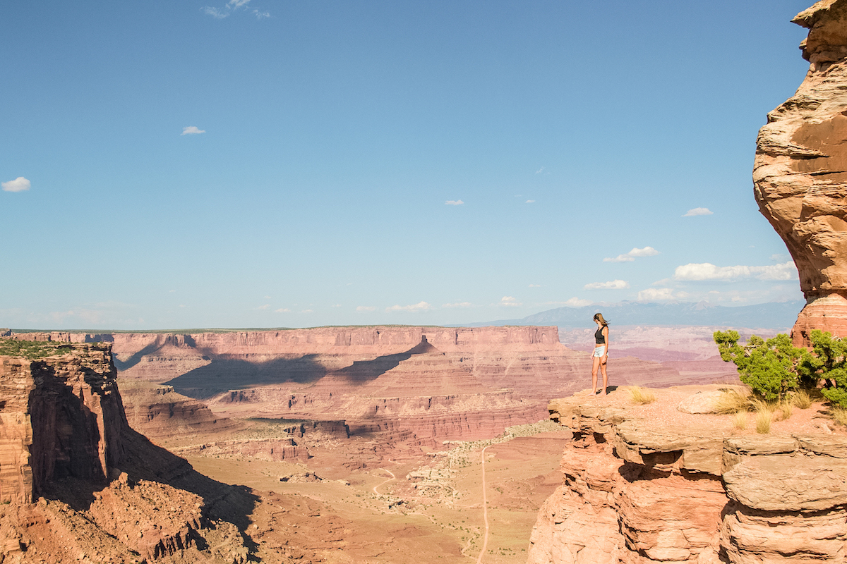
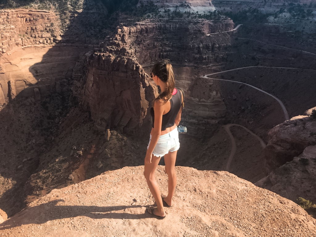
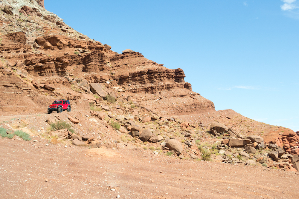
This viewpoint has a flat topped mesa that you can walk out on to see the view. If you walk to the right side of the mesa, you can also see the switchbacks that belong to the Shafer Trail. It’s an unpaved road for 4×4’s that leads into the canyon.
Some sections of the road looked pretty narrow and one side is just a drop-off. We kept wondering what would happen if you came across a car in the opposite direction. The likelihood is low, but there’s always a possibility!
Mesa Arch
We actually went to the Mesa Arch the next morning since we had heard it’s a great spot for sunrise. Driving through, the park was empty and for some reason I thought we would again have the park almost entirely to ourselves. I was wrong.
We were running late–counting down the minutes until the sun was to rise while racing through the park to the trail. We sprinted up the 1/4 mile or so to the arch only to be met by a group of 25-30 people already crowding around the arch. Obviously we were not the only ones who had this idea.
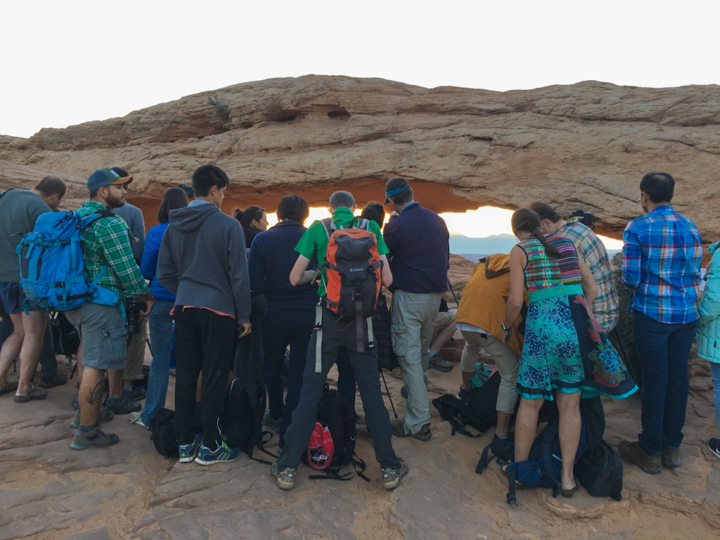
People were standing so close to the arch that I wondered if anyone would get a decent picture, let alone myself. I gave up trying to get the most popular shot and instead shot around it. Once the sun came up, people started to clear out and I was able to sneak in and snap a few shots between arms and cell phones. (The first picture on this post was shot literally between elbows!)
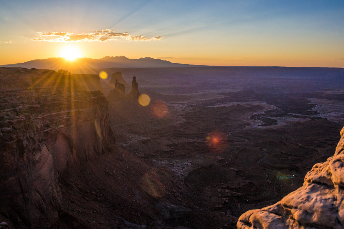
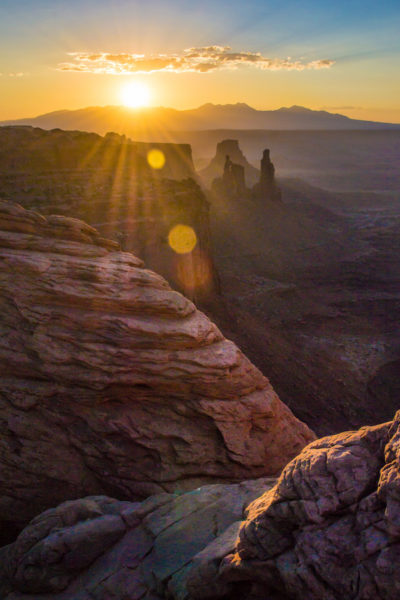
The trail is about a fourth mile long from the parking lot and a slight incline. The reason it’s a popular spot for sunrise is that when the sun rises, it causes an orange glow on the inside of the arch. Definitely worth it–it’s a great spot.
Candlestick Tower Overlook
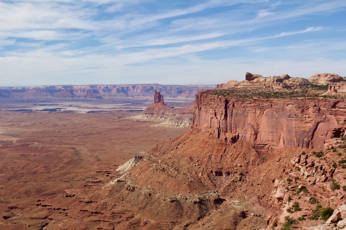
This overlook is a little walk down the rock decline onto a flat area. From there, you have a wide open view of the canyon below and to the right side, you’ll see a rock formation referred to as the candlestick tower. You don’t really even have to walk down, you can see the view from where you park.
Buck Canyon Overlook
Buck Canyon Overlook is just a quick walk to the viewpoint and gives you another great view of the canyons below and the La Sal Mountains in the distance. This one has another layer to the canyon that looks like it’s cutting through the rock below (similar to the Green River Overlook).

Orange Cliffs Overlook
This overlook is where you can walk down the orange rocks for a canyon view. There were zero people here when we went, and it’s often overlooked as being not as impressive as some of the others.
It sort of looks like an orange basin and doesn’t have unique formations and not as many layers as you’ll see in other areas. Going around sunset did put some depth in the canyons though, that you may not notice with full sun.
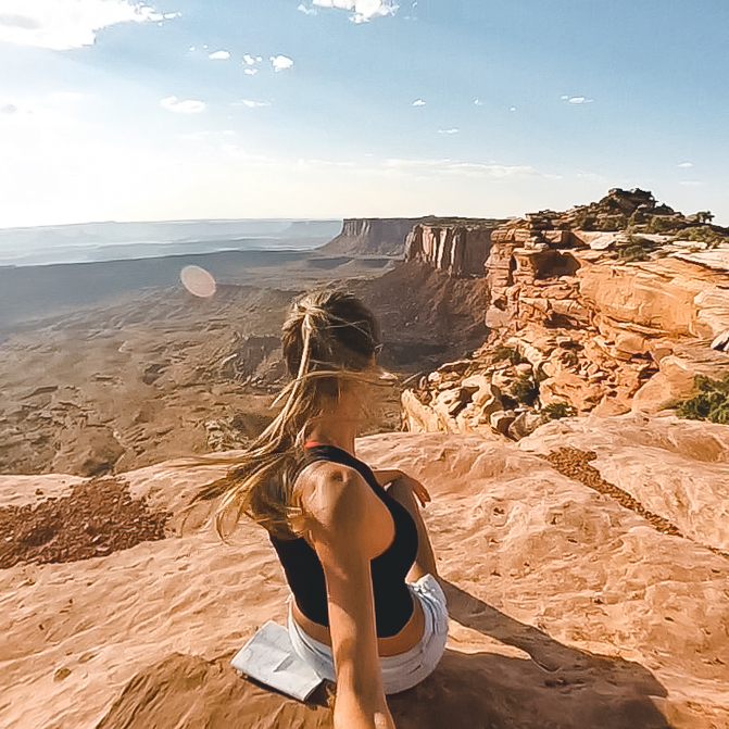
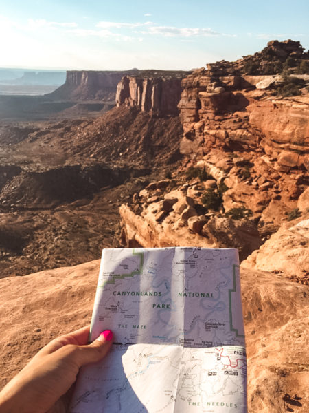
Grandview Point Overlook
I was surprised each time I stepped up to the edge of somewhere new, but Grandview Point is something else. It’s one of the most popular viewpoints to see and for good reason. It looks like a giant T-rex stomped in the ground creating more layers into the canyon.
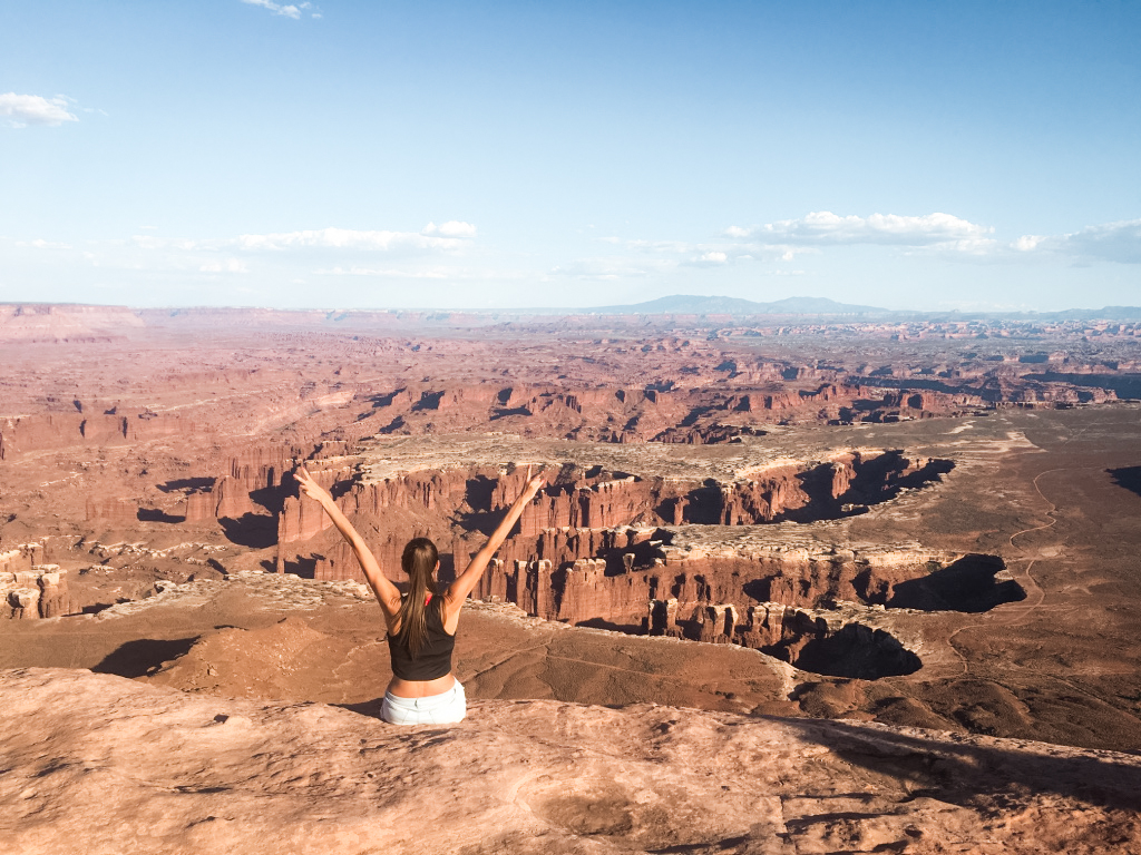
At this spot, you sort of lose track of what the normal ‘ground floor’ is. The layer below you has roads and makes you think that that could be the normal layer and that you’ve actually hiked up at some point–except you haven’t. And part of that is because you can’t really see the other side of the canyon that is level to where you are. It’s a crazy spot.
Green River Overlook
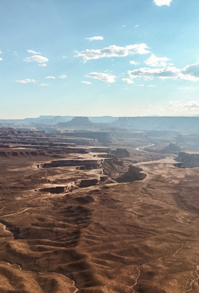
The Green River Overlook is a little spot you can drive up to and see another cut our canyon below. This one has views of the Green River within the canyon. Again, it’s a large area and really just surprises you that Canyonlands has so many different areas that are this large and unique.
Aztec Butte Trail
One of the trails you can take within Island in the Sky is the Aztec Butte Trail. This trail is 1.7 miles long and leads you up a small butte where you can see Pueblo granaries. The granaries are tucked under the rocks and were used for storage. You’ll also get some nice views of the landscape below while you’re at the top.
Holeman Spring Canyon Overlook
Holeman Spring Canyon overlook has a few buttes in the distance and some layers to the canyon floor. There’s also some shrubbery towards the edge that can provide some good depth for photos. It’s a short walk through the dirt up to the edge.
Whale Rock
Whale Rock is a rock that’s in the shape of a…whale. It’s a short and easy out-and-back trail that is just under a mile long and takes around 30 minutes to complete. Hiking up the ‘whale’ will give you a different perspective of Canyonlands and the canyons in the distance.
Upheaval Dome
The Upheaval Dome is a bit of an anomaly. It’s a 3-mile wide crater with layers of rock, and in the center, rocks that stick outwards. Geologists have two theories to how it was created: the Salt Dome Theory and the Impact Crater Theory.
The Salt Dome Theory suggests that it was created by the erosion of rock layers from a salt bubble that had formed. The Impact Crater Theory suggests that it is due to a collapsed crater in which the rocks in the middle were forced upwards. Though recently, there is more evidence that supports the Impact Theory.
To visit the Upheaval Dome, you’ll need to take a 1.7-mile hike. The trail takes you to 2 different viewpoints along the dome. If you don’t feel like hiking the entire thing, you can hike to the first viewpoint and back, which will be about a mile round trip.
Best Time to Visit
The best time to visit Canyonlands is in the fall and spring when the temperatures aren’t at their highest. We chose to go in the dead of summer. Was it hot? Yes. Miserable? No. Because Island in the Sky is so easy to explore, you can hop in and out of your car pretty quickly at the different viewpoints.
If you want to go on some of the hikes, head there for sunrise or early morning so you beat the hottest part of the day. There’s not much shade around, so if you do go during summer, you’ll want to be prepared for that.
Tips for Visiting Canyonlands
- Have lots of water with you at all times!
- Grab a map from the Visitor’s Center because you’ll likely have minimal cell service.
- Keep an eye on the weather and be prepared for temperature changes.
- Bring sunscreen.
- Always watch where you’re walking if you walk near ledges and don’t build rock piles! (These are used as trail markers and can confuse hikers.
- Make sure you have a full tank of gas, food, water and other supplies in the car.
- Drones are not allowed.
- For more information and park updates, check out NPS.
Where to Stay
On your visit to Canyonlands, you’ll likely either stay in or around Canyonlands, or head back to Moab to stay in town. We were camping in Utah and found some great spots on our trip.
Canyonlands
If you stay in or around Canyonlands, you’ll be camping. There are two campgrounds within Canyonlands. One is in Island in the Sky and one is located in the Needles section. Both camp sites have picnic tables, toilets and fire rings.
- Island in the Sky Campground – $15 per night, no reservations. There are only 12 spots here and it’s first come, first serve.
- The Needles Campground – $20 per night, reservations available but not required. 27 camping spots available.
Moab
Moab is located about 35 minutes away and is the closest town to Canyonlands. If you want to be near restaurants and shops, this is where you’ll want to stay. There are a lot of hotels and campsites in the area.
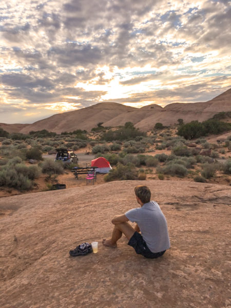
We wanted to stay near the town, but also wanted to find a quieter campground, as some of them were right next to roads. We opted for the Sand Flats campground which is a cute little hidden gem. It was quiet and had some great scenery.
Things to Do Near Canyonlands
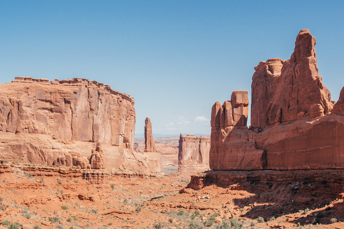
- Visit Arches National Park – This National Park is located just down the road from Canyonlands making it an easy place to visit. There are lots of areas that are easily accessible, as well as shorter or longer hikes to some of the more prominent arches.
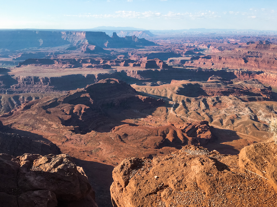
- Check out Deadhorse Point State Park – This state park is RIGHT outside Canyonlands. It’s about 20 minutes away and easy to stop in to see. You’ll get views of the Colorado River and you can park right next to the main viewpoint. You can also hike along the rim for some different vantage points.
- Explore Moab, Utah – Moab is a great town to explore. It’s surrounded by orange rock and is one of the top places to go off-roading. It has a ton of camping spots and trails to drive, and is just a fun place to spend a few days since you’re in close proximity to some other parks.
PIN IT FOR LATER


Leave a Reply