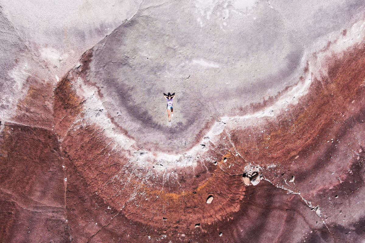
Utah is an incredible state full of stunning valleys and unique formations. The landscape in Utah is incredibly diverse, from canyons to salt flats to otherworldly valleys. It’s a state that can be explored extensively and you’ll still find new things to see.
Utah is home to five national parks and a lot of people end up taking a Utah road trip to visit them all. Along the way are hidden gems and state parks worth visiting as well. It’s a popular state for camping and getting lost in nature. It’s one of my favorite states to visit and has some of the most amazing landscape in the USA.
Here are some of my favorite places to visit for seeing incredible landscape in Utah:
Bonneville Salt Flats
A really cool place to visit in the north of Utah is the Bonneville Salt Flats. The salt flats are stark white and cover an area about 12 miles long and 5 miles wide. It’s hard to tell in photos, but they also create these circular shapes within the salt. The salt crust can be up to five feet thick in some areas and is made up of about 90% table salt.
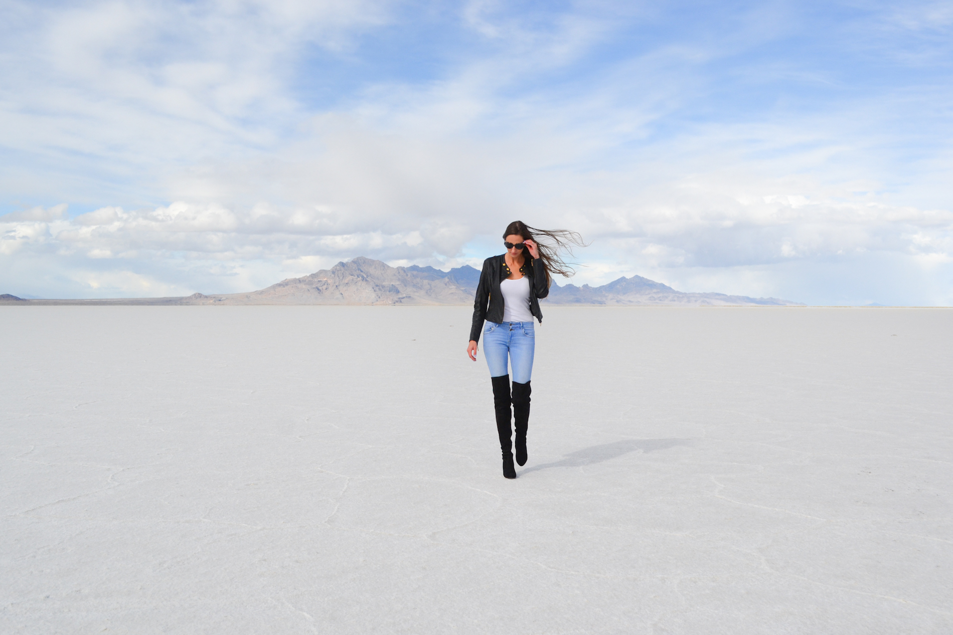
This area also happens to be a speed test area. There are several races throughout the year and Speed Week falls in August. Otherwise, you’re free to drive onto the salt flats from the Bonneville Salt Flats Access Road. Though you shouldn’t drive on them if it’s been raining and you aren’t allowed to camp on them.
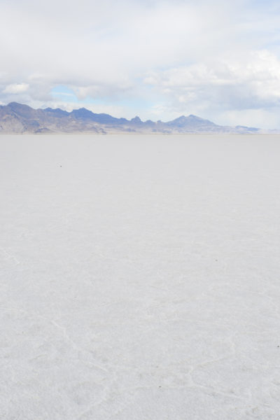
There’s a main viewpoint from I-80 and it’s easy to pull over to take pictures. You can’t miss it–the salt flats are right along the road and look like snow.
Angel’s Landing
One of the most popular hikes in Zion National Park is Angel’s Landing. The trail leads you through a valley and zigzags up a rock cliff. The switchbacks are brutal but once you get past them, you’ll be rewarded with a stunning view of the valley.
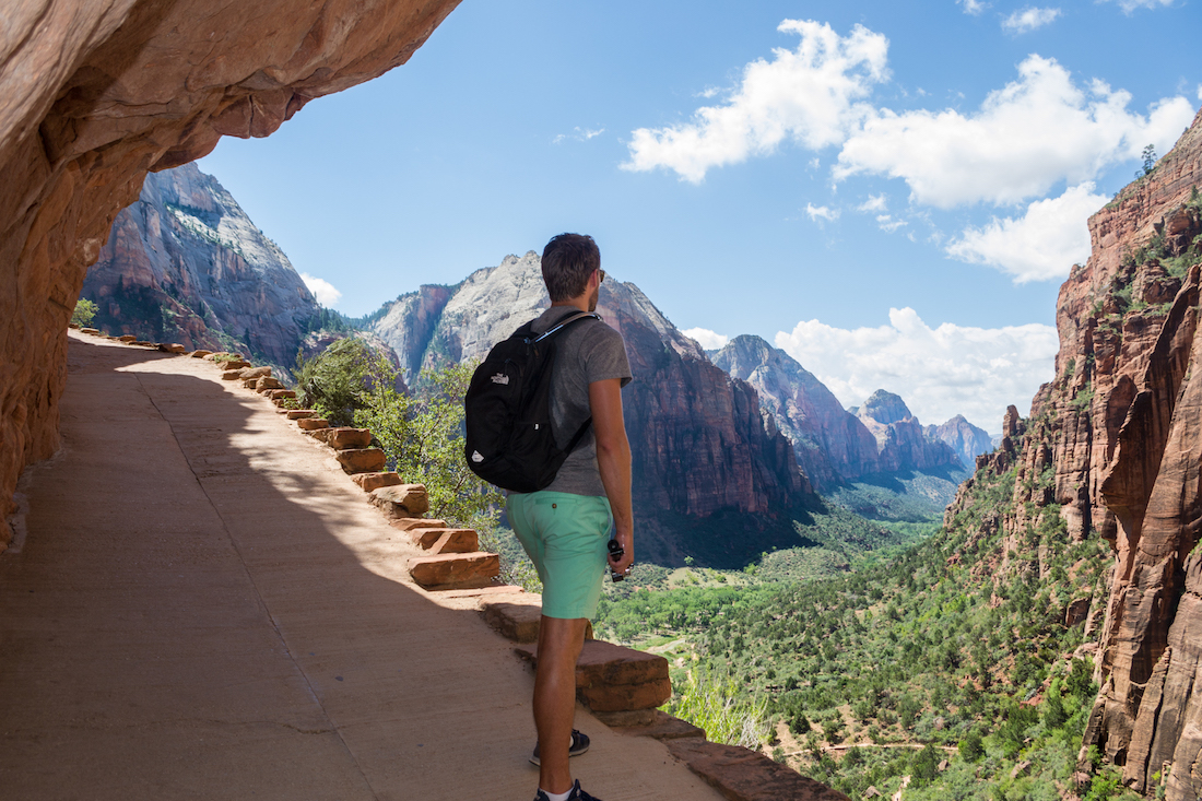
But Angel’s Landing isn’t technically the lower part of the hike, it’s an optional section towards the top that takes you along a skinny ridge of the mountain. At times, the only thing you’ll have is a chain link to hold on to while looking down hundreds of feet below to the ground. It’s not for the feint of heart as there are some sections that don’t have anything to hold on to.
The good news it that you don’t have to complete that section to get the valley view if you don’t want to. You can stop just before that to rest and take photos. But it’s one of the best views in the park.

Yant Flat (Candy Cliffs)
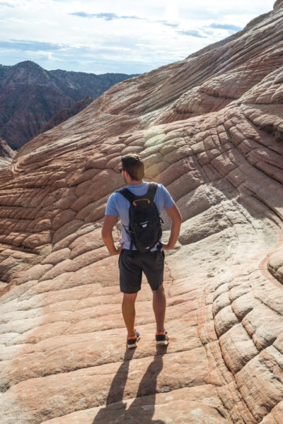
One of the most unique places in Utah to visit is the Candy Cliffs. It’s an often overlooked hike as people bypass the area to head directly to Zion National Park. But just outside of St. George is a fun hike called Yant Flat that takes you to landscape that looks like a dragon’s back.
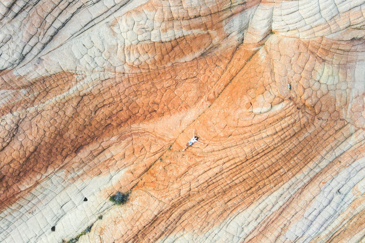
The road to the trailhead is not great and may require a 4×4 (or some very slow driving). But even in our 4×4, we were driving pretty slowly as the ride out there is long and bumpy.
Once you get to the actual hike, it’s a pretty easy trail until you get to the rocky cliffs. You can explore as much or as little as you want, but you come out at the top of the rocks. So if you walk downwards, just remember you have to walk back up. And there are some pretty steep areas to hike.
Bryce Canyon
Bryce Canyon National Park is the second most visited national park in Utah. It’s typically the stop people head to after visiting Zion and is about an hour and 45 minutes away. Though it’s a smaller national park, the landscape here is worth the visit.
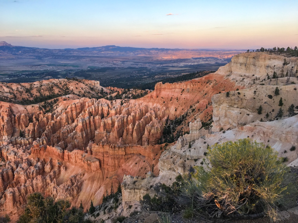
Bryce Canyon is home to ‘hoodoos’, tall spires of rock that are orange, red and white hues. The best part of the park is that you can take several different hikes that take you up close and around the hoodoos. There are some great hikes to do and it’s also a great place to catch the sunrise.
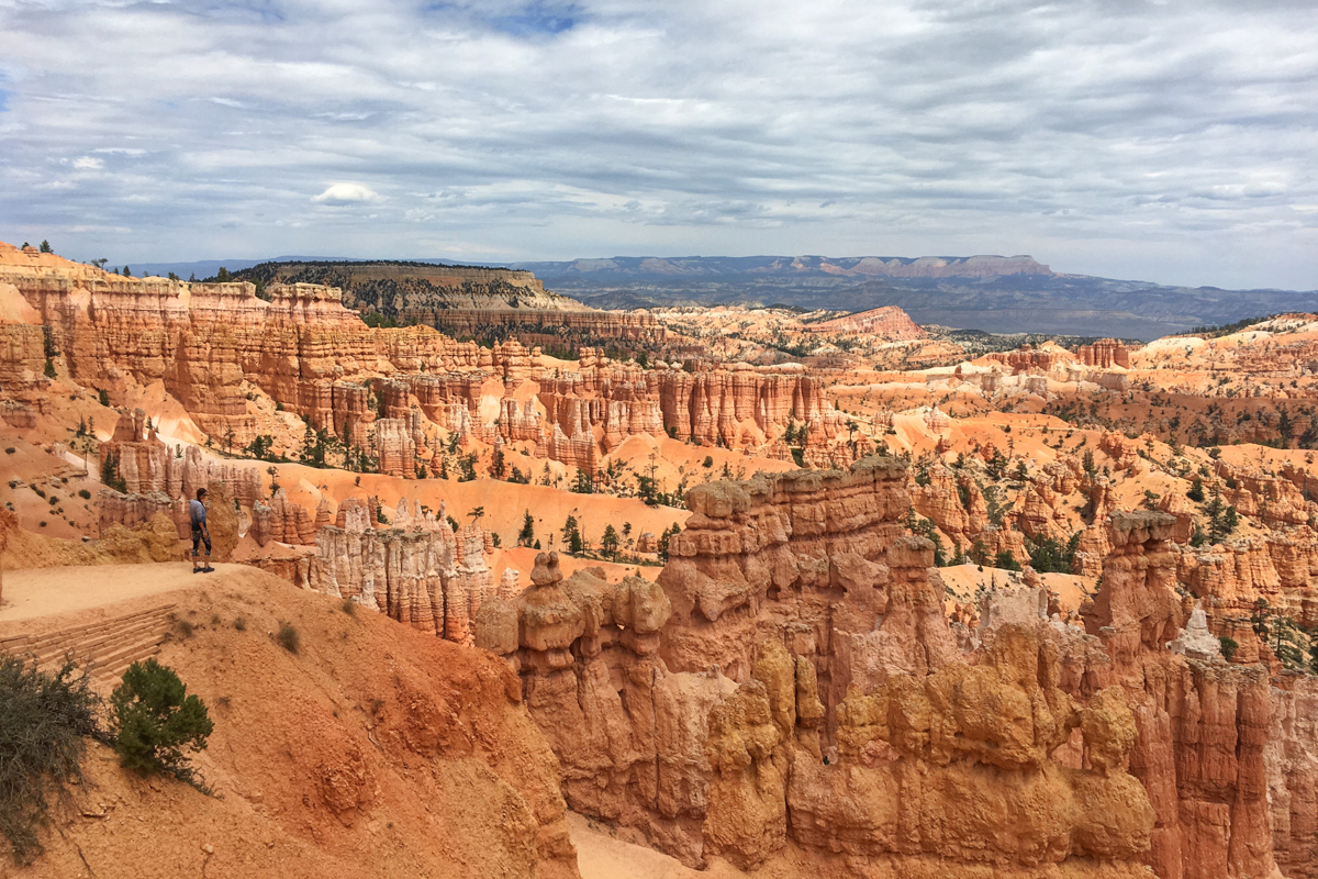
One thing we were unprepared for though is the weather. Bryce Canyon is actually located at a higher altitude, averaging between 8,000-9,000 feet (2,438m – 2,743m). Even though we visited in the middle of August, the temperatures were cooler and DROPPED at night. We unexpectedly were camping in 40º weather and were frozen.
The Narrows
Another must-do hike at Zion National Park is The Narrows. This hike is rather unique in that you’ll actually be hiking through the Virgin River between massive canyon walls. At times there might be some sandy banks to walk along, but a lot of the hike is wading through the water.
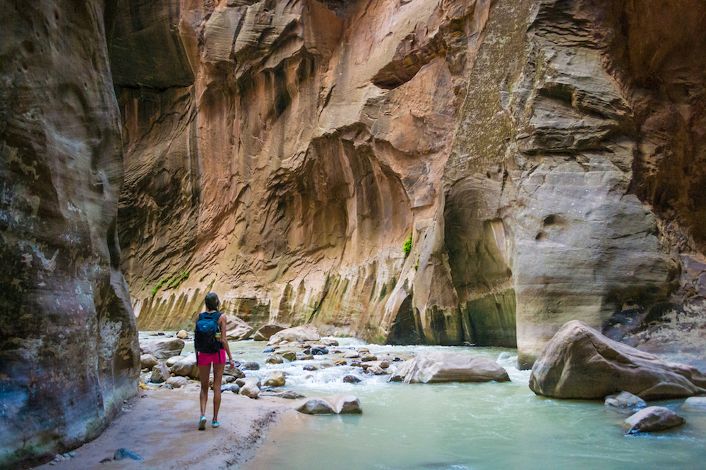
The majority of hikers will be doing an out and back hike. This means you can hike for as long as you want to and then turn around and come back. If you want to do the entire 16-mile hike from the top down, you’ll need a permit. We spent a few hours making our way through the canyon and eventually turned around to make the hike back.
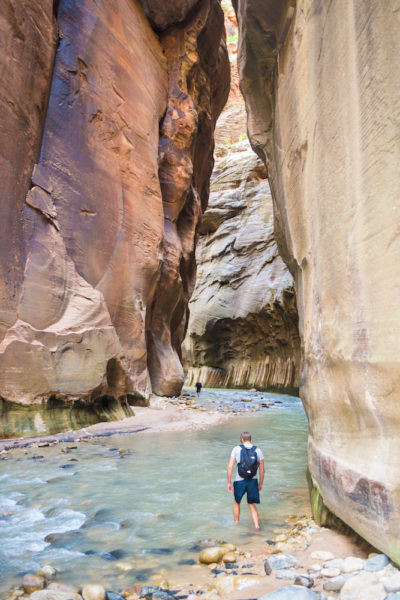
It isn’t necessarily a challenging hike since it’s mostly flat, but the struggles you’ll have are that you can’t see what’s in the water. Most of the riverbank is filled with rocks and boulders so it’s easy to trip along the way, especially if the water is rushing in that area. It’s smart to bring a walking stick to help with your balance.
Another factor is the water temperature. The canyon walls mean little sunlight, so the water can be pretty frigid. Even when we hiked in the middle of August, the water and canyons were cold. The water can be ankle deep, waist deep, or even chest deep, depending on the section.
Cathedral Valley
Cathedral Vally is a section within Capitol Reef that is a more rugged, remote area in the northern end of the park. There’s a loop drive that you can take that will eventually bring you to towering monoliths. The roads go through a wide open area and you can drive right up to and around these rock towers.
The area is pretty empty so be prepared with supplies, food and water in case something happens, as you might be the only one out there. You won’t find any facilities and you likely won’t have any cell reception either. So be prepared to be off the grid while exploring out here.
It’s also recommended to have a 4×4 to explore out here. Not to mention that one start of the loop road actually takes you through the Fremont River.
Bentonite Hills
The Bentonite Hills can also be found on the loop road above that eventually leads you back into Capitol Reef. The section where these colored hills are located aren’t technically within the national park boundary, but are on BLM land instead. But again, the journey starts by going through a river, so exploring out here requires some preparation, supplies and a 4×4.
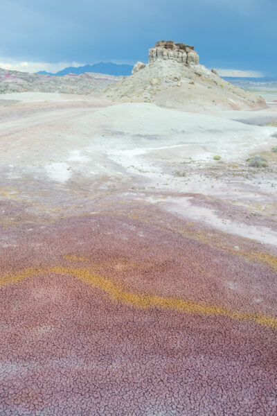
The road out here is a bumpy, dirt road and although the hills are located just under 10 miles from the river, it takes awhile to make the drive because of the road conditions. We also didn’t come across anyone else while we were out there.
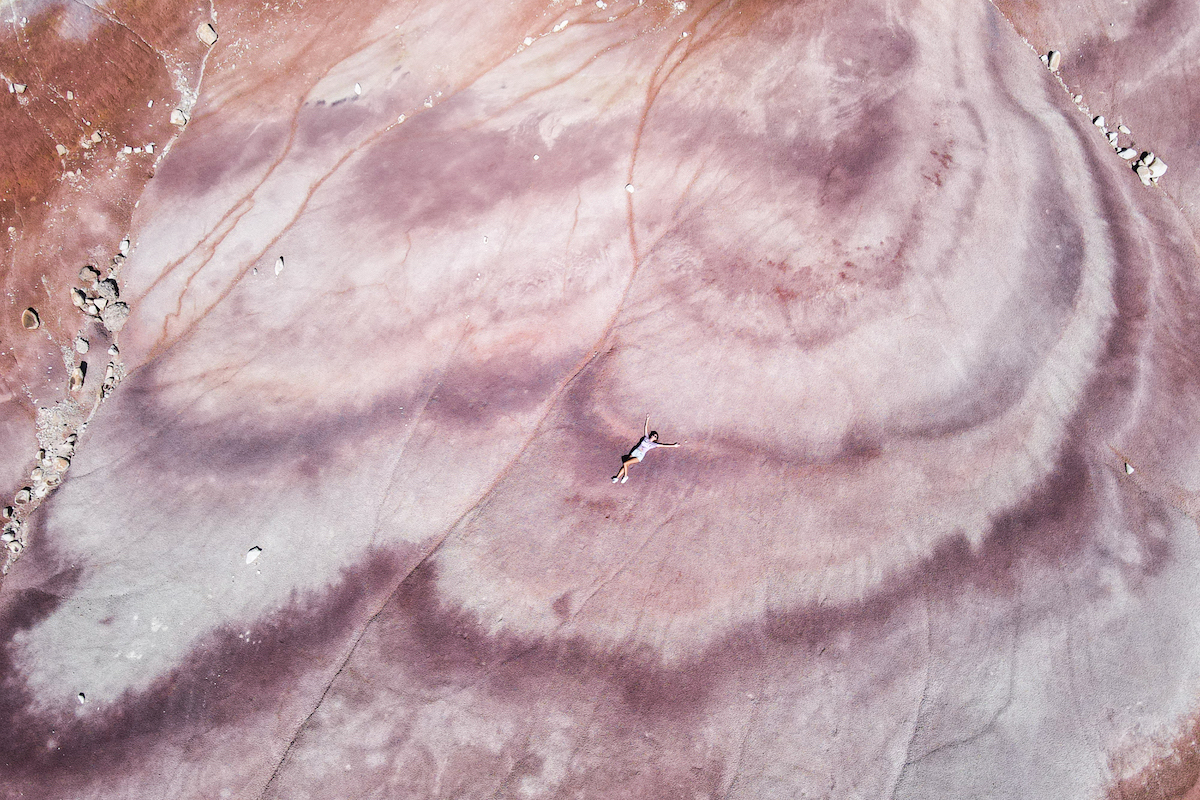
The landscape is fantastic and once you reach the Bentonite Hills, you’ll immediately see different colored landscape. The drive itself is beautiful too but it’s fun to get out and explore the area. And, it’s definitely a place where you’ll want a drone to truly get a sense of the area.
Goblin Valley State Park
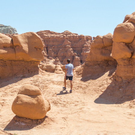
A fun place to do some hiking and explore is Goblin Valley State Park. This state park is known for its ‘goblins’, or round rock formations. It’s located about an hour and a half outside of Moab and makes for a fun afternoon. There’s several valleys to explore and hiking trails to get on.
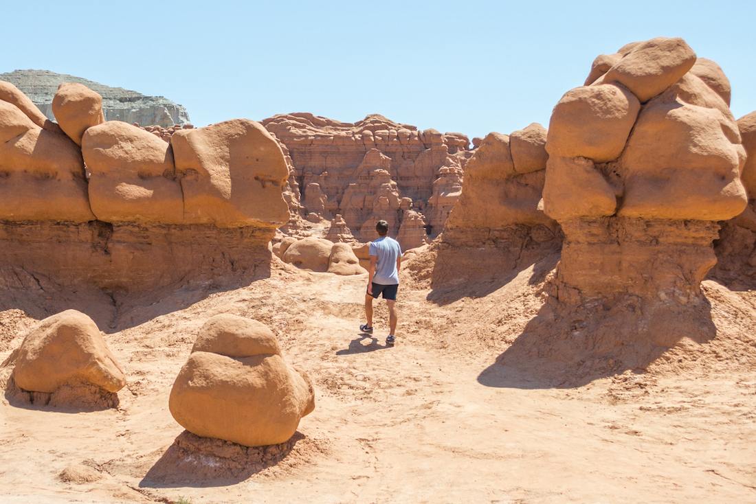
One thing about Goblin Valley is that you’re actually allowed to climb all over the rock formations. You’re also able to forgo hiking trails if you want and just explore the valleys freely. Just make sure you keep track of where you are–it’s easy to get turned around here. And bring lots of water as there is little to no shade here.
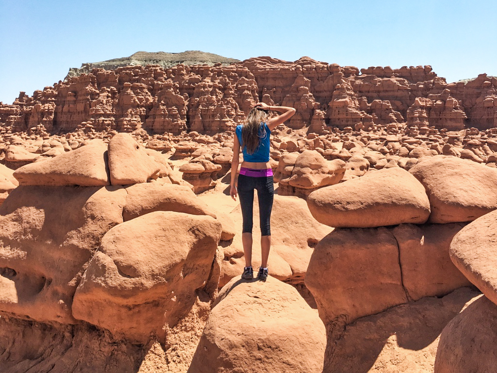
The landscape is pretty unique to see and has been the location of several movies due to its otherworldly appearance.
Factory Butte + Caineville Mesas
Another place that’s well-known for otherworldly landscape in Utah is around Caineville. Here you’ll find towering gray mesas with ridges sprawling out from them. Once you arrive in the area, you’ll notice them on either side of the road: North Caineville Mesa and South Caineville Mesa.
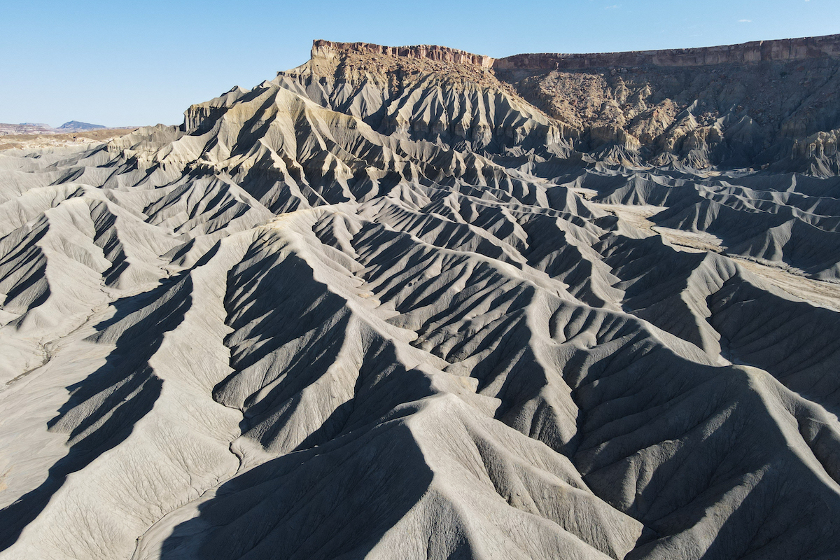
There are hikes you can take to go up the mesas and get a decent view of the landscape, but having a drone certainly helps put it into perspective. And it’s a stunning spot for photography.
Just down the road is another mesa called Factory Butte. It’s sort of a stand alone mesa with a unique shape. It’s another great spot for photography and it’s an OHV area all around it.
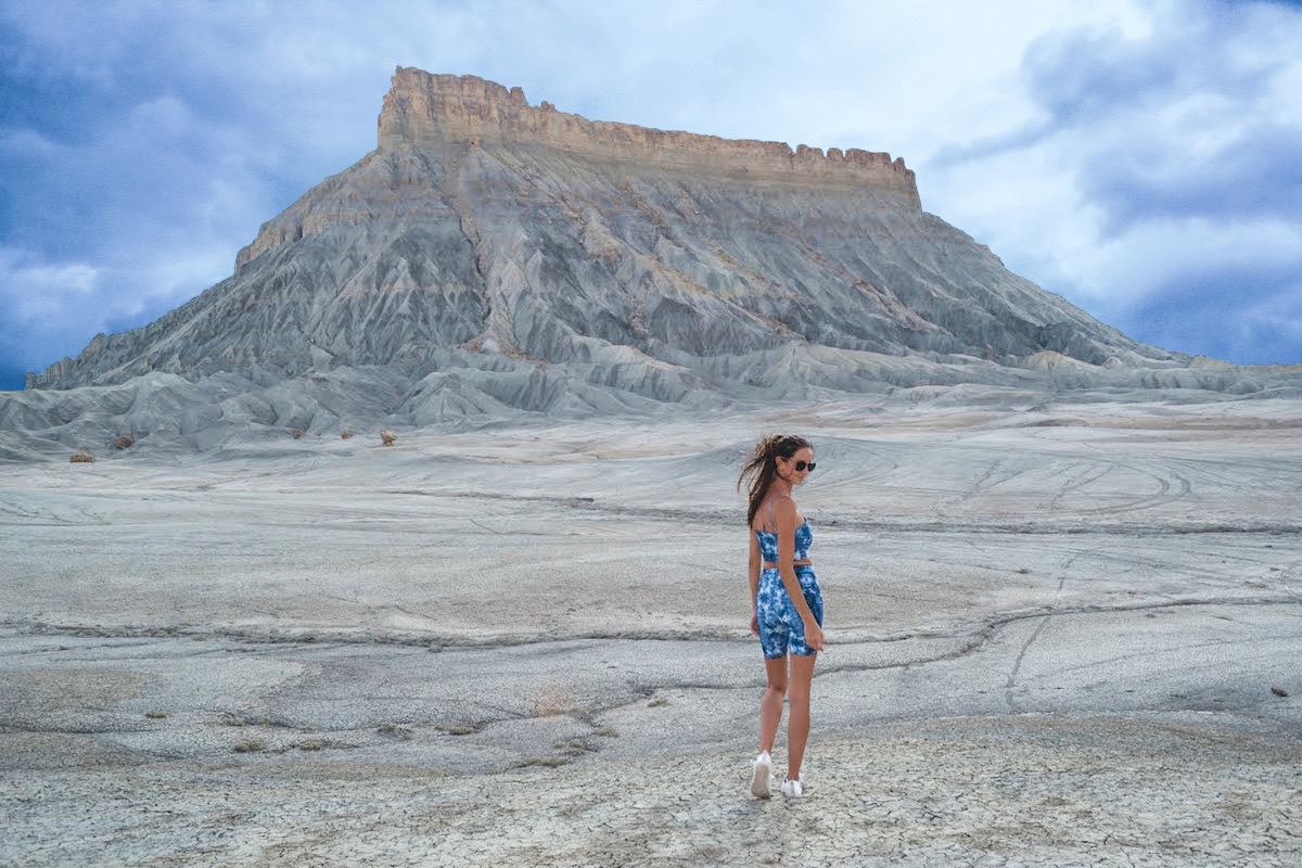
However, drive at your own risk. From afar, it looks like the ground is flat and that you can drive right up to it. But it’s a lot more hilly than it looks with some deep ruts in the ground.
Arches National Park
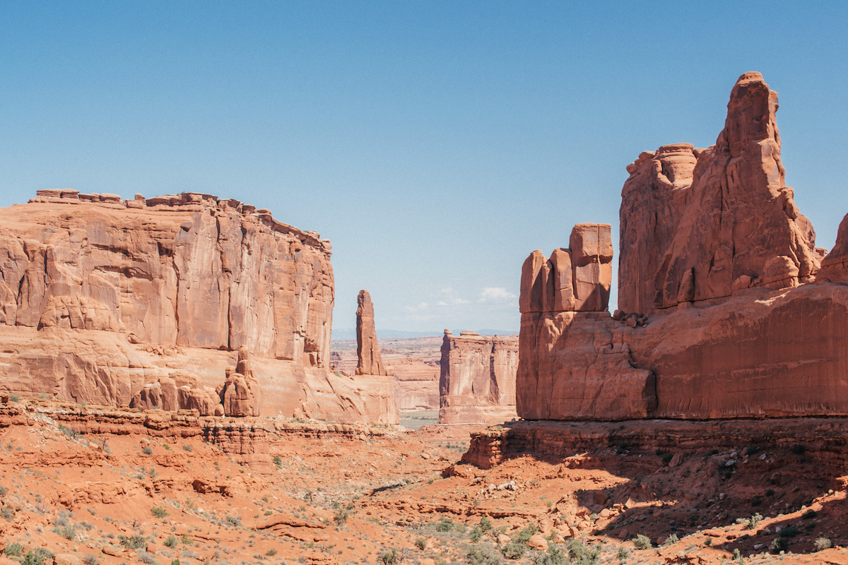
Natural arches can be found in abundance in Utah, but not as many as you’ll find at Arches National Park. There are over 2,000 arches that have been documented within the park. As well as arches, you’ll see tall rock formations as well.
Park Avenue viewpoint is the first viewpoint that you come to when entering the park and it’s a great one. You can also hike down into the valley.
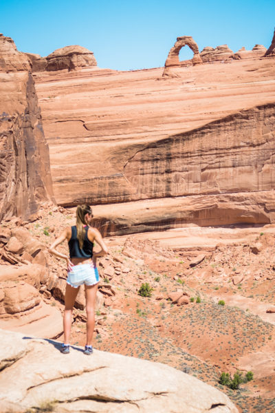
One of the most popular arches to see within the park is the Delicate Arch. You can hike all the way up to it or stop at viewpoints along the way for different perspectives. Fun fact, it’s the arch that can be found on Utah license plates. Another popular arch is the Landscape Arch which is a long, skinny arch. The hiking trail has great landscape along the way too.
Island in the Sky
One of the national parks in Utah that surprised me the most was Canyonlands. It’s located just outside of Moab near Arches National Park. Canyonlands National Park has four main sections: Island in the Sky, the Needles, the Maze and the Rivers. The latter three sections are remote areas and harder to get to, but Island in the Sky is very accessible and has some incredible landscape in Utah.
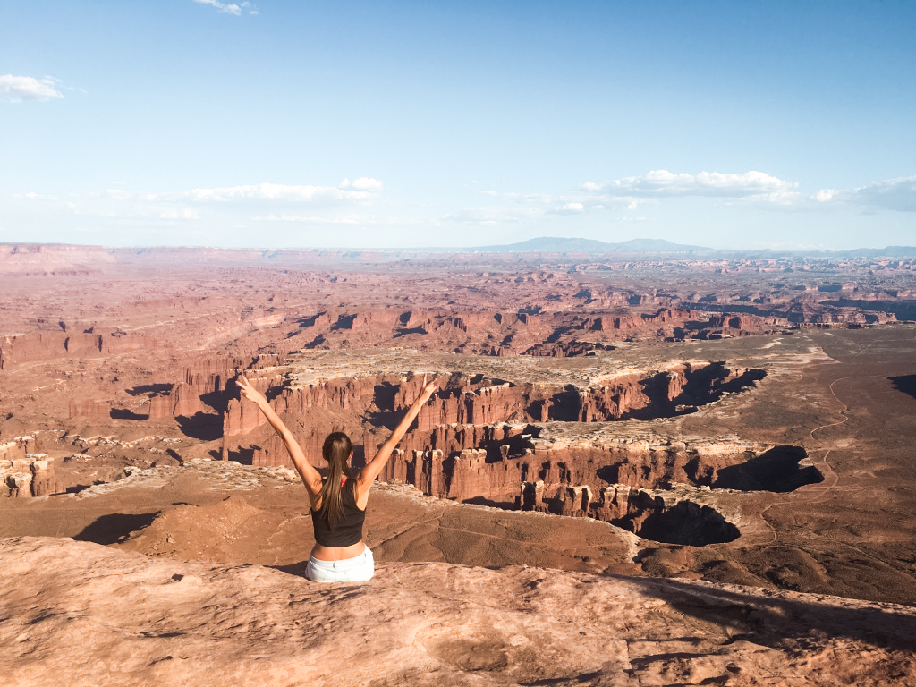
There are many viewpoints to see within Island of the Sky, most of which you can walk right up to. And let me tell you, the views are fantastic. I was completely surprised by how underrated this park is but there are some phenomenal canyons to see.
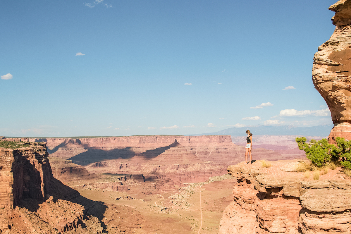
There are multiple canyon viewpoints to see and an arch as well. And even though Arches National Park is just nearby, you’ll want to make sure to see this one. The Mesa Arch has an incredible view and is a popular spot for sunrise photography (too popular).
Moonscape Overlook
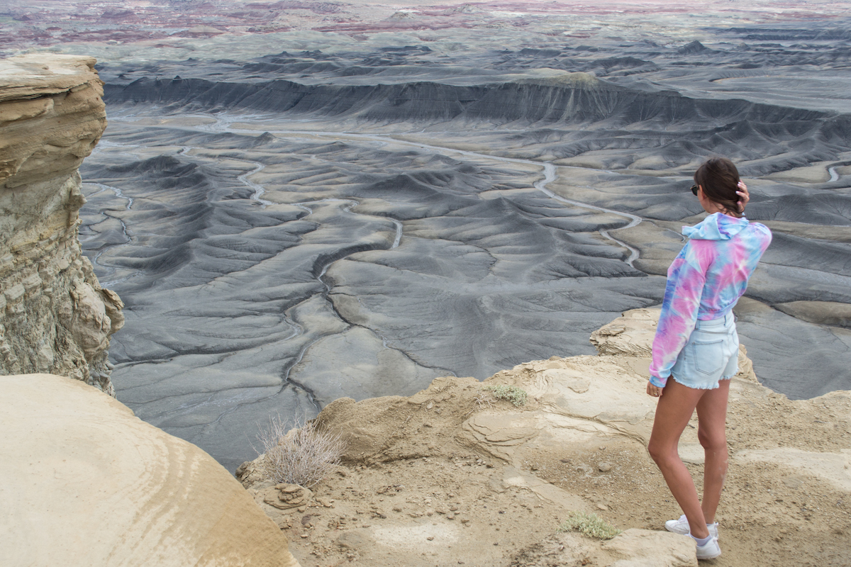
Outside of Capitol Reef is where you’ll find some incredibly unique landscape in Utah. The Moonscape Overlook is like walking up to another planet and/or feels like you’re on the moon. While a lot of Utah is orange and red rock formations, you’ll find a desolate gray valley here with gray formations and gray ridges.
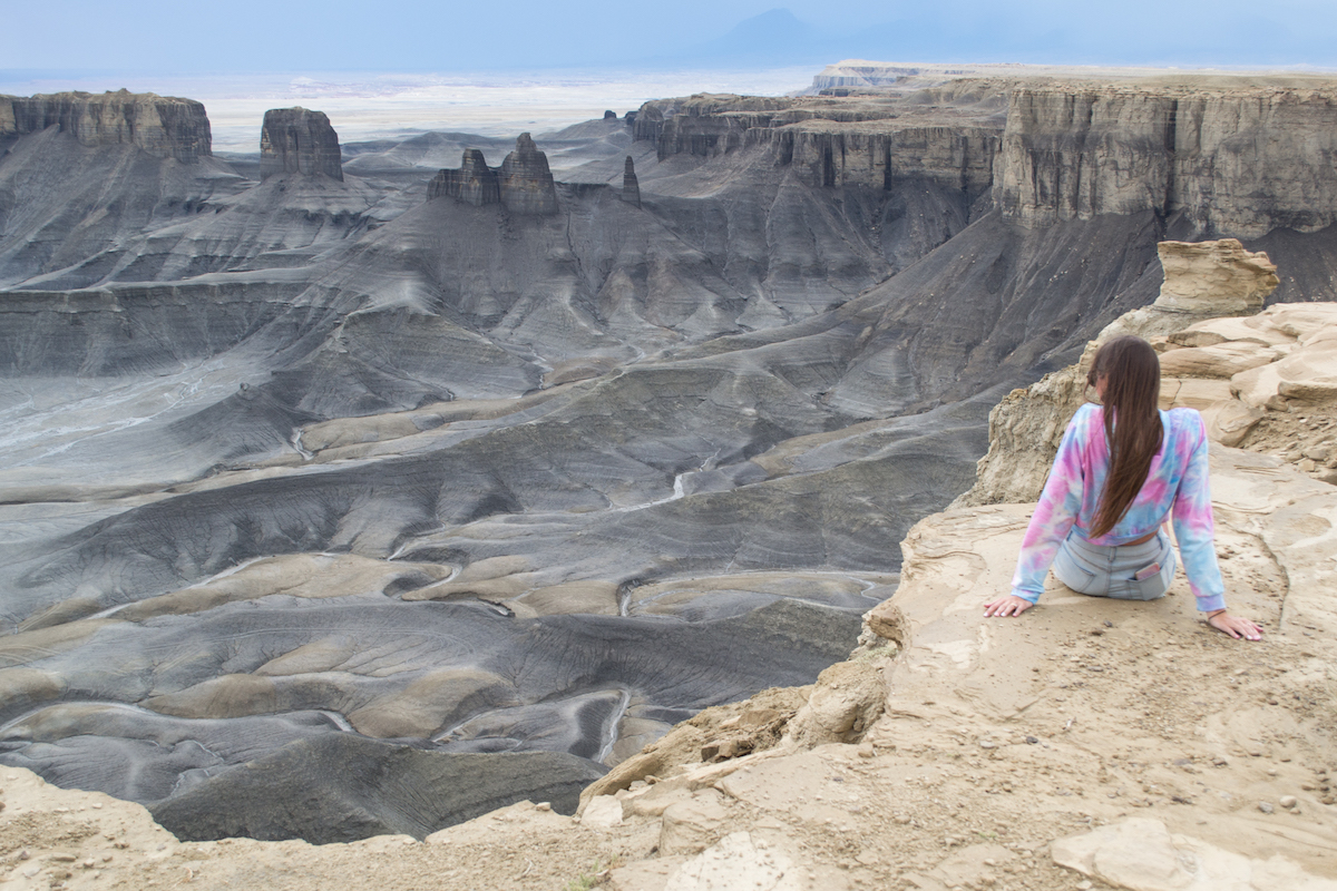
The surrounding area is more remote but definitely feels otherworldly. In fact, there’s a Mars Research Station just down the road because of how similar the terrain is to Mars. While you can’t visit it, you can drive by the entrance.
Lake Powell
Lake Powell is a stunning lake that runs through Utah and Arizona. You can access it from both states though a popular place to go is actually just across the Utah border at Page, Arizona. Page is the closest town with places to stay and restaurants to go to.
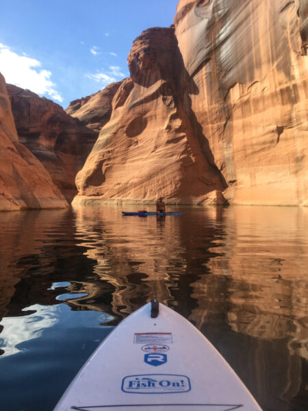
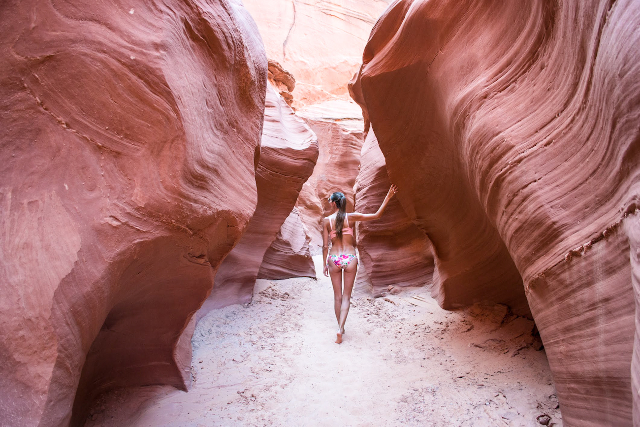
You can camp near the shore, rent kayaks/boats/jet skis, or head to public swimming spots. We opted for renting kayaks and camping across the lake. In the morning, we were able to explore some of the lake tributaries before the lake was too busy–one of which led us to this gorgeous canyon hike.
A popular area on the Utah side is Reflection Canyon. It’s an area where the water and canyon walls snake around. It’s a beautiful spot for photos. You can hike to the area to camp there but it’s a 20-mile roundtrip hike.
Monument Valley
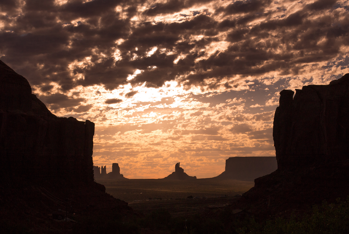
One of the most famous landscapes in Utah and Arizona is Monument Valley. The landscape here has been shown in countless movies and TV shows and the formations have become iconic landmarks. If you’re traveling south from Moab, you’ll be on an endless road where you’ll drive up to the formations.
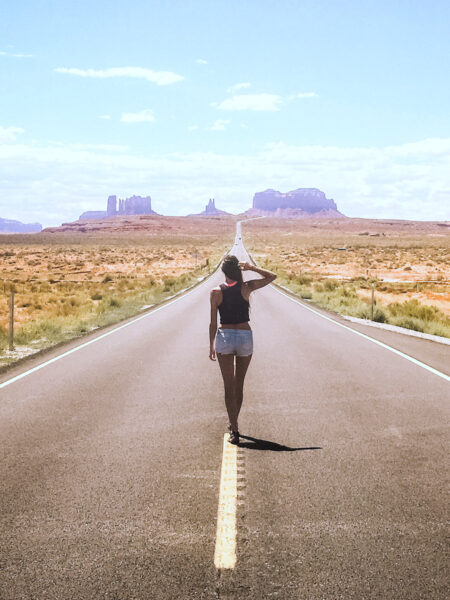
The landforms are on a Navajo Reservation right on the Utah and Arizona border. Though the most famous buttes fall on the Arizona side. There are several campgrounds in the area and a few motels. We camped in the area but it was blazing hot since there is little shade out here. But it’s a must-see area while exploring the Wild West.
Things to Know
- Some of these areas are a little more remote–make sure you are prepared with supplies, spare tires, food, water and sun screen!
- Always fill up your gas tank when you go through a town. You don’t want to risk running out of gas anywhere.
- Cell phone reception is not great in a lot of areas and you may not have it at all. Make sure you’re prepared with offline maps and/or paper maps from the visitor’s centers.
- Good hiking shoes are a must!
- If you plan on going to more remote areas, make sure to check in and obtain any necessary permits.
PIN IT FOR LATER


Utah truly is amazing! So many diverse and stunning landscapes.
Seems otherworldly at times when you look at the amazing landscapes. I hiked Angel’s Landing in my twenties and it was awesome.