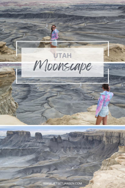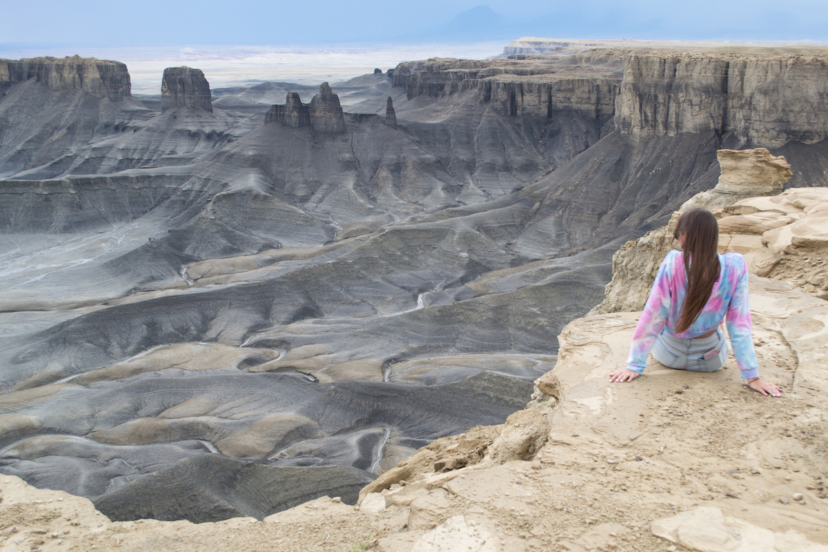
Utah is one of the most interesting states. Not only does it have five national parks, but it’s home to some pretty incredible landscape. The best way to see Utah is by road tripping slowly so you have time to venture out to some of the more unique places. One of the more otherworldly-looking locations is Moonscape Overlook.
Our first time road tripping through Utah, we went through this same area and missed many points of interest. We went back not long after to explore further. But this area of Utah definitely makes for an adventurous trip. A lot of the roads we went on were pretty bumpy and we did some off-roading trails as well.
About the Area & Moonscape Overlook
If you exit Capitol Reef on Hwy 24, the first town you’ll come across is Caineville and a little further down the road is Hanksville. In between the two towns is known as Blue Valley and it’s where you’ll notice some incredibly unique rock formations.
The first time we drove through, we mentioned how interesting the formations looked and then for whatever reason, kept on driving. We didn’t know what was in the area or where to stop, but we ended up coming back on our next trip.
As it turns out, this area is actually where you’ll find a Mars Desert Research Station. The terrain here has a lot of similarities to Mars, so they have teams out here conducting research. The Mars research station is on private property and is not open to the public. You can however view it from Cow Dung Road.
Though several areas are restricted, you’ll find similar landscape all around. It’s a fun place to explore and the Moonscape Overlook is one place in particular that looks like you’ve visited the moon.
Trip Notes:
- Coordinates: 38.452251, -110.837979
- Difficulty: Easy
- Cost: Free
- Hours: None
- Facilities: None
How to Get To the Moonscape Overlook
Before you even arrive to the area, you’ll start to notice the landscape changing. But once you start to see gray mesas, you know you’re in the right place.
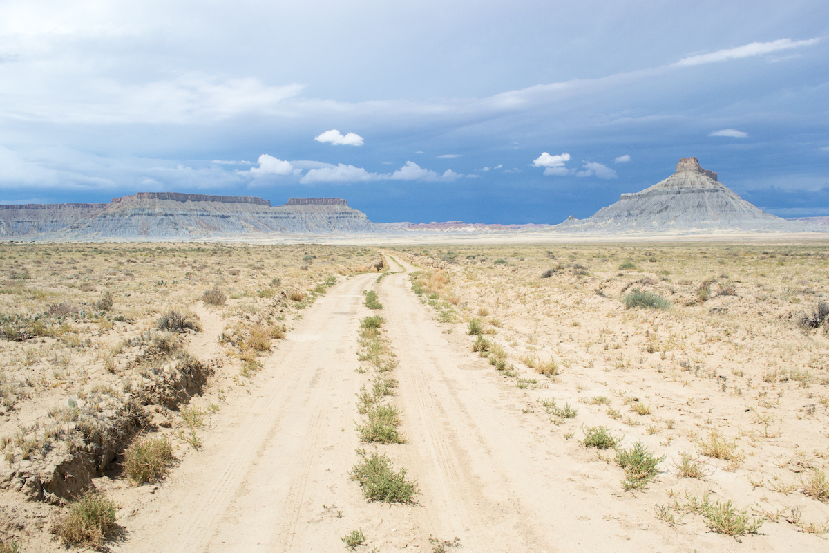
Factory Butte
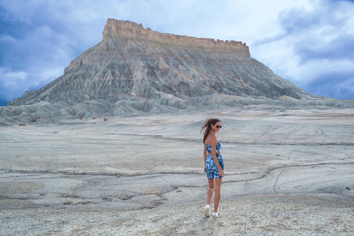
Factory Butte is one of the mesas in the area and a good landmark in determining where you are. You’ll be turning down the same road to get to the overlook so you can stop here as well. Factory Butte is an OHV area around the formation, so you can drive up to and around it.
We had a 4×4 and drove as far as we felt comfortable, but this area isn’t the greatest for off-roading due to the amount of ruts in the dirt. Some look like they aren’t very deep but some are like small canyons that would rock your vehicle if you aren’t paying attention.
We drove over a few that were deeper but the ruts also go all over the place and we were worried about getting stuck. There was also no one else out here–if we got stuck, we’d be stuck.
Directions: From Hwy 24, you’ll want to turn on N Factory Butte Road. The fun part is that Google shows all these nice road names, but that’s not what is on any of the road signs out there. Instead, all the roads are labeled with four numbers. So you’re actually looking for Road 0091.
- Turn north on Road 0091.
- Turn right on Coal Mine Road (9131).
- The road forks at some point and you’ll want to stay to the left.
- At the next fork, turn right on Skyline View Road or 0913 (or you can just take 0091 to 0913–though some roads might be better than others).
- 0913 will turn into 1552, so keep left.
This will take you right up to the viewpoint.
The Wrong Overlook
We ended up taking the wrong road or fork at some point. We were prepared with directions of street names and were not prepared to be looking at a series of 4 numbers, all of which are very similar. And out here, there is little to no reception, so you can’t look it up along the way.
Realistically, you could take any of the dirt roads and still end up in the right place, but I am notoriously bad at directions so of course I took us the wrong way.
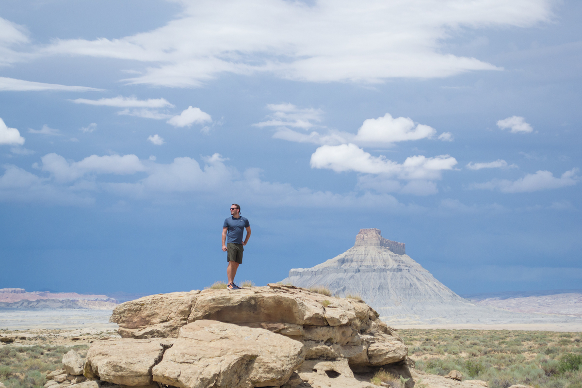
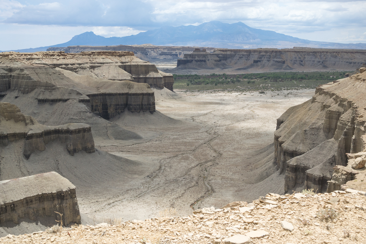
However, we ended up exploring down the road and ended up finding a completely random canyon overlook. No idea if it has an official name but this is what you can find down the road if you get out of your car and walk around a bit.
Visiting the Overlook
Once you figure out the dirt roads, the last one will lead you right on top of the mesa and the overlook is steps away. We went in the early afternoon when it was overcast. The top of the mesa is flat rock and there are zero facilities up here. No bathroom, no benches, nothing.
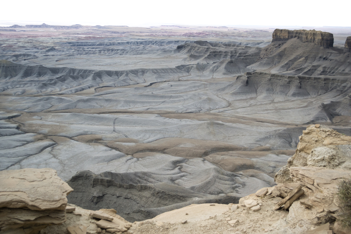
The landscape is really something different and makes you feel like you’ve landed on the moon. Shortly after we got to the overlook, the weather switched up really quickly. It was incredibly windy and started to rain. We weren’t sure how bad the storm was going to be, but we knew we needed to get out of the area as we had read that the roads can get pretty bad.
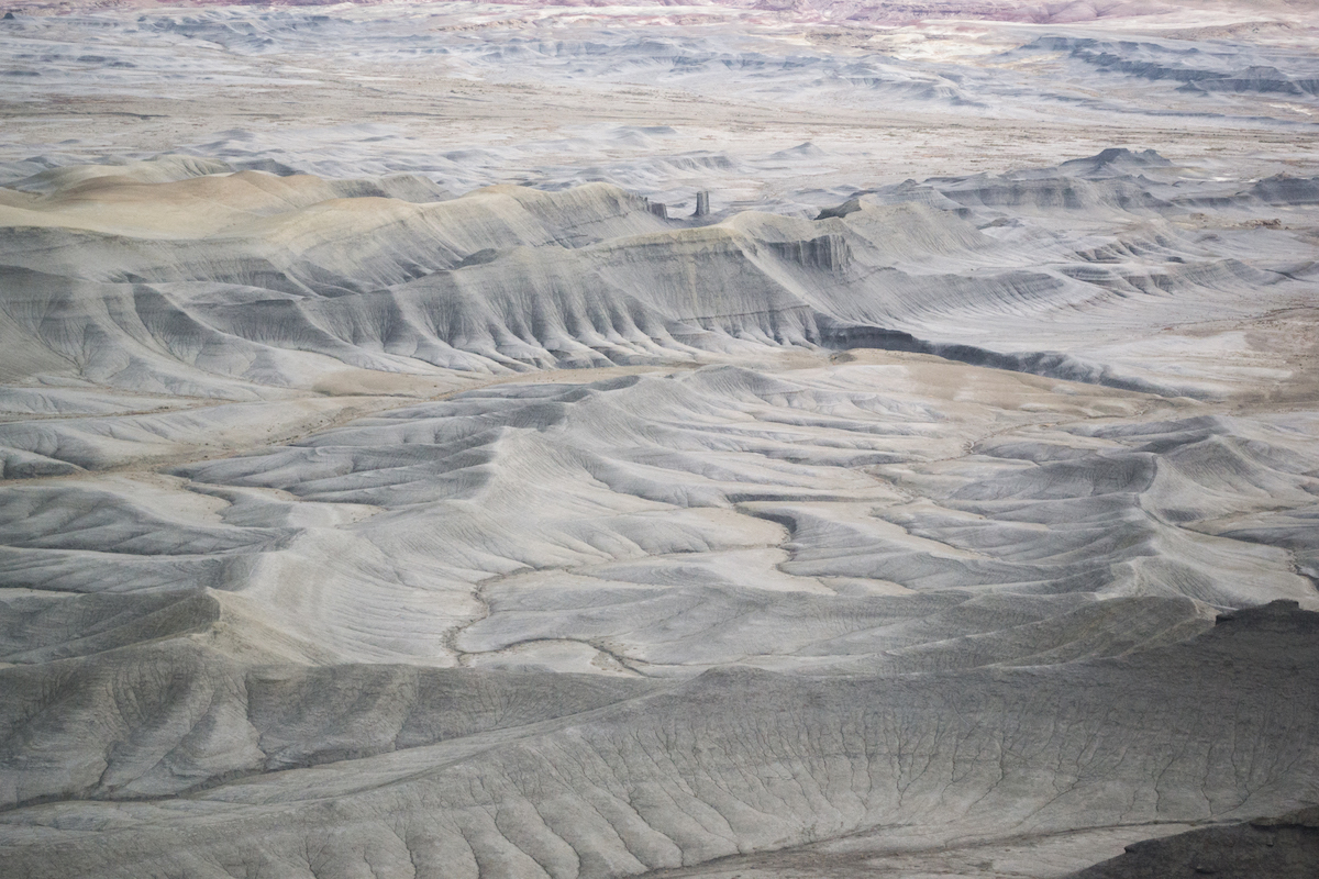
Best Time to Visit
The best time to visit the Moonscape Overlook is in the morning when the whole canyon will be lit up. At sunset, the cliffs will create shadows and you won’t be able to see the valley as well. But I suspect Blue Hour would be a nice time to visit also because of the dark canyon colors.
I will add that a great time to visit (at least in our case) was right after it rained.
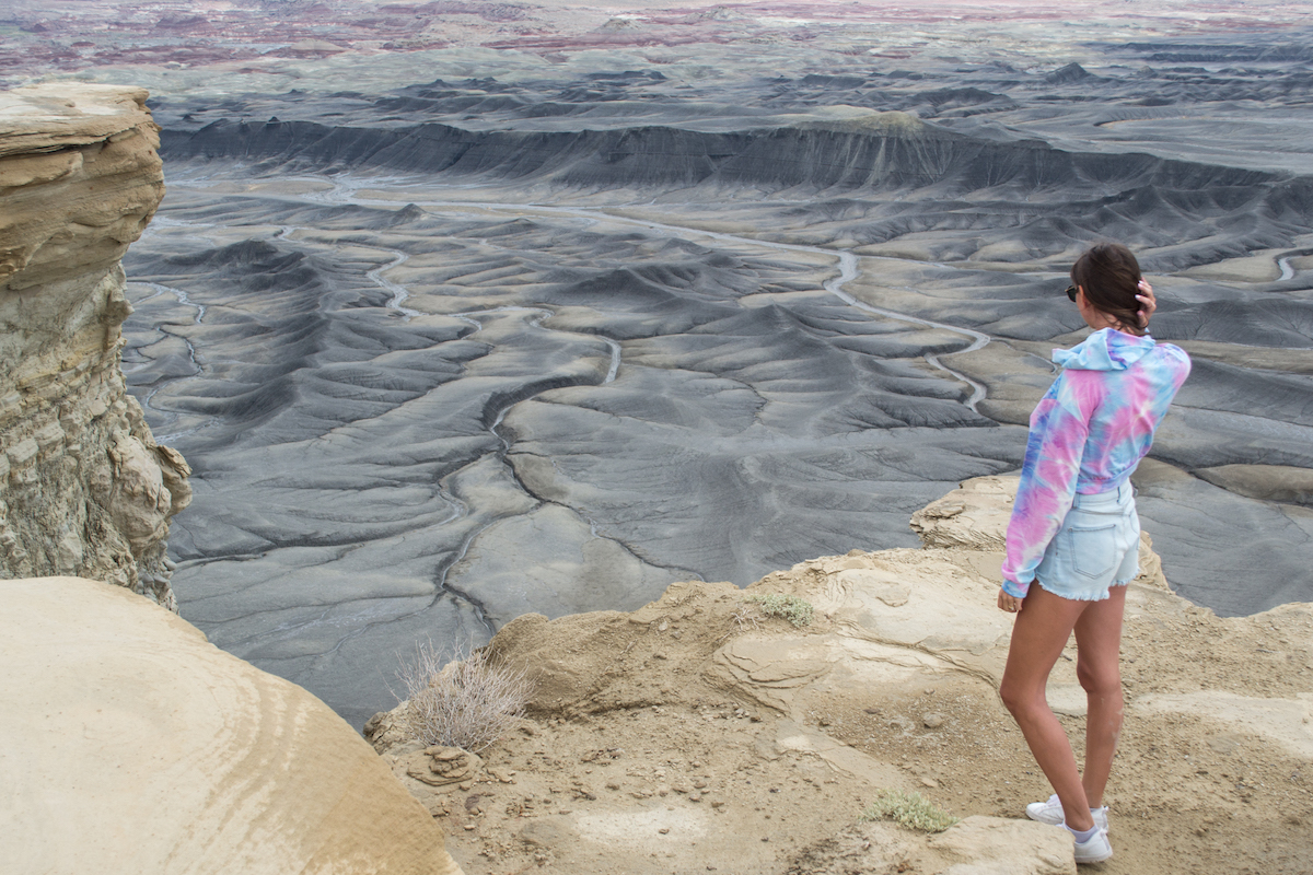
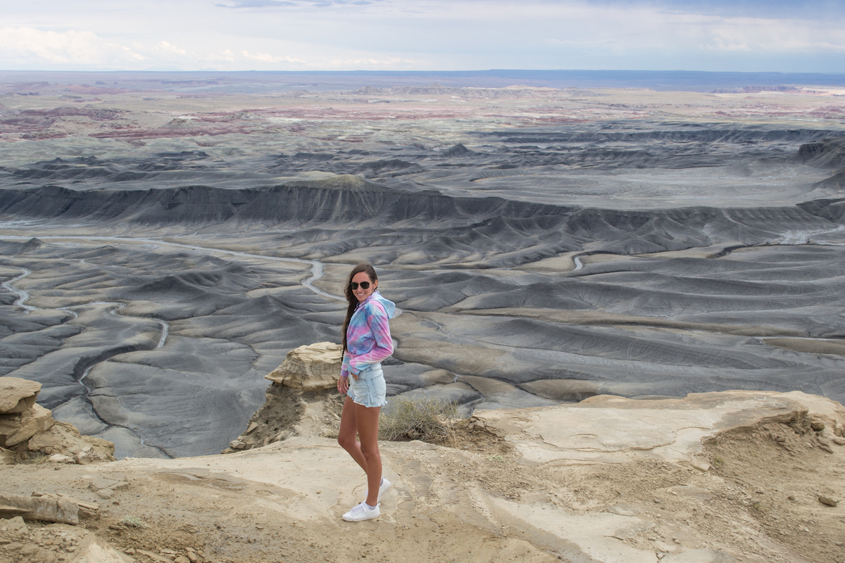
We had about 5-10 minutes at the overlook before the storm blew in. And while the canyon was still really cool to see, the colors popped after it rained. We almost didn’t go back after it rained because I thought it would be a muddy mess in the photos but it actually made everything look so much sharper and more defined.

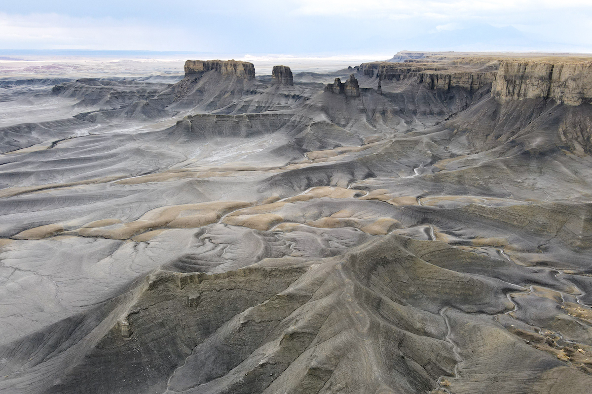
It almost looked like it had an HDR filter on it. And we were so surprised when we stepped up to the edge a short while later.
The Famous Instagram Spot
If you’ve seen this place on Instagram, you’ve probably seen a person standing out in the middle of that circle. Is it safe? That’s for you to decide. I’m not someone who is afraid of heights but I do like having some sort of safety measure in place. (Even if it’s just railings or chains to hold on to like at Angel’s Landing in Zion National Park.)
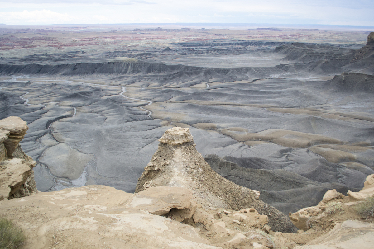
I actually put a drone up to not only take pictures of the canyon but also to check out the drop off on this particular section. And for me, it looked too sketchy to get on.
For one, the sides of the path are crumbling rock and one misstep would be detrimental. For two, the sides get pretty steep, especially once you are out on the circle. Another reason for me was the weather. We came back right after a storm blew through and it was still pretty windy afterwards. My drone was up for a few minutes but it was struggling in the wind so I brought it back in.
While the pictures are phenomenal, I personally didn’t want to take the risk.
Do you need a 4×4?
I’ve seen many people do this without a 4×4. So can you? Sure. Would I? No, but mostly so we wouldn’t have any limitations in exploring the area, not because I think it’s needed to get to this particular viewpoint. This area is a big off-roading area and we wanted to be able to go anywhere.
There are a lot of bumpy dirt roads around and if you don’t have a 4×4, you won’t be able to get on some of them. One of the roads we took ended up taking us to a sandy bank near the river and part of the trail was going through the river and sand. And as I mentioned, we got caught in some rain leaving the overlook and the terrain here can really change on you.
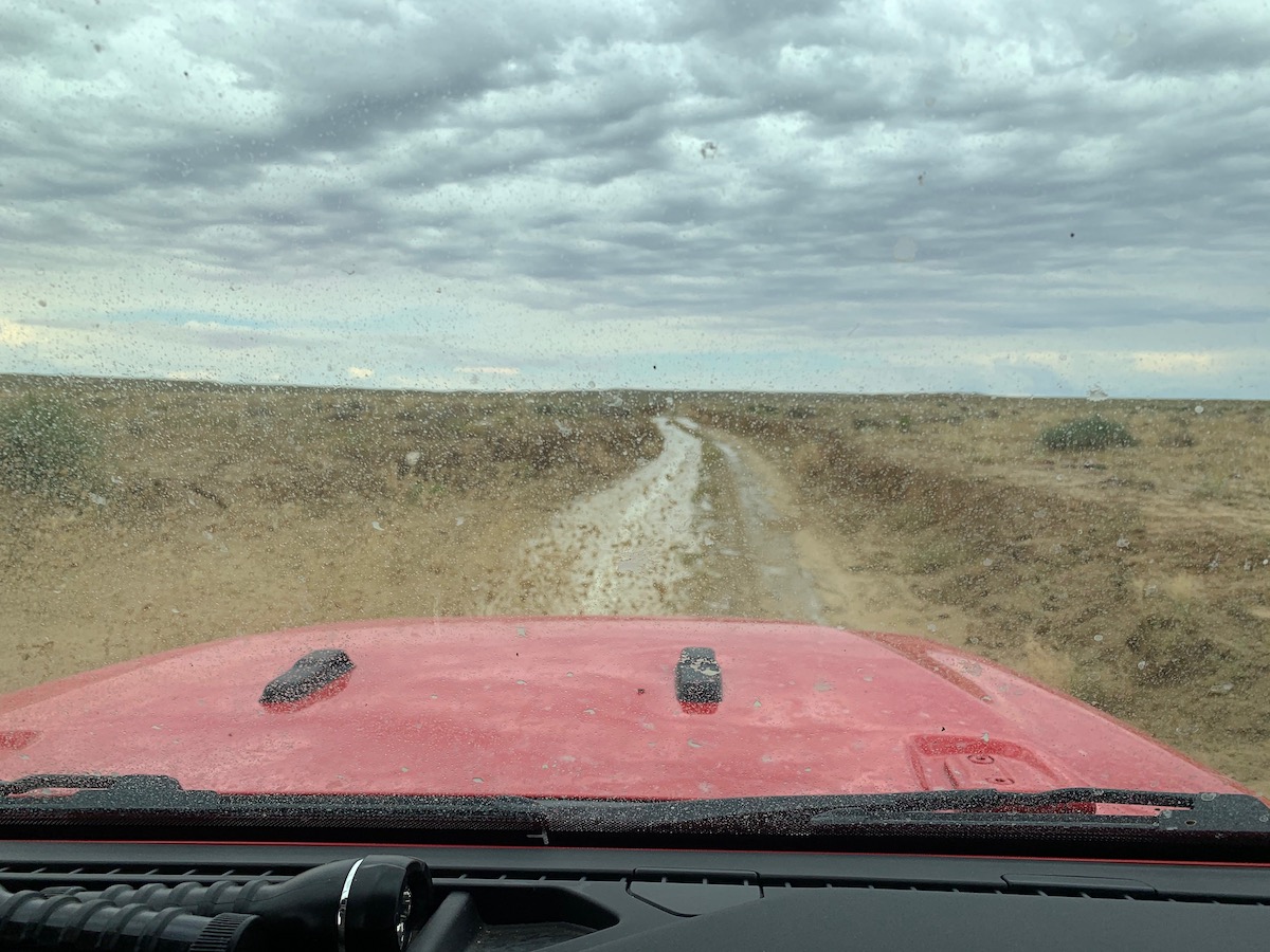
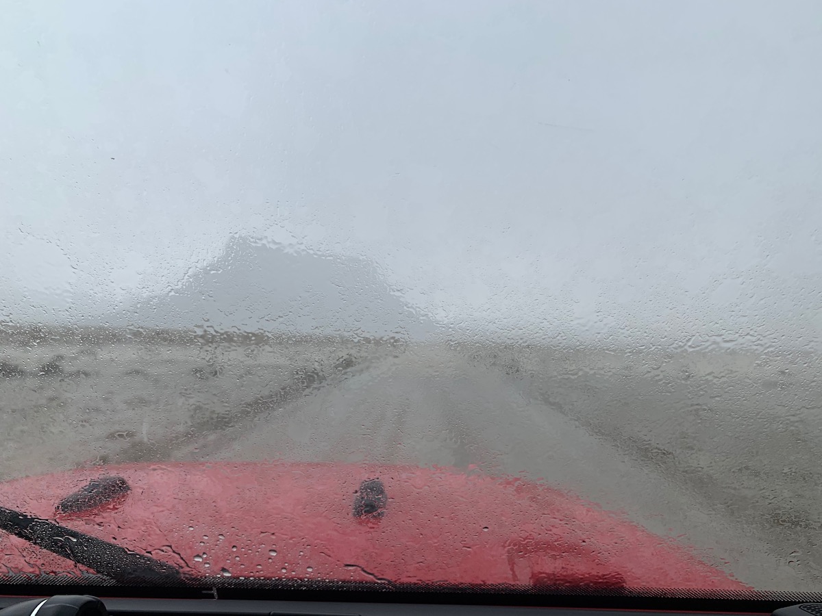
Within minutes, the roads had changed. There were big mud pits and even flooding along the main road. We ended up stopping on a higher, gravel section to wait it out.
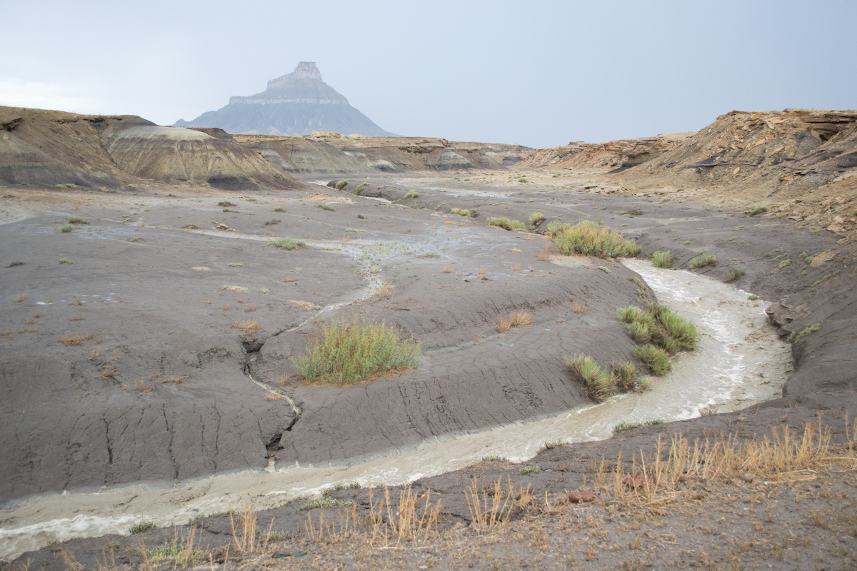
And when we returned, we saw someone in a regular car who had gotten stuck. His tires were spinning but he eventually got free as we were pulling up. So if the weather is good then you shouldn’t have issues in a regular car.
Camping at Moonscape Overlook
This area is managed by the Bureau of Land Management (BLM) so you are able to camp up on the overlook. As you can see in the photo, there is absolutely nothing up here. We probably would have camped here if it weren’t so windy, but we wanted to be somewhere that had a bit more shelter from the elements.
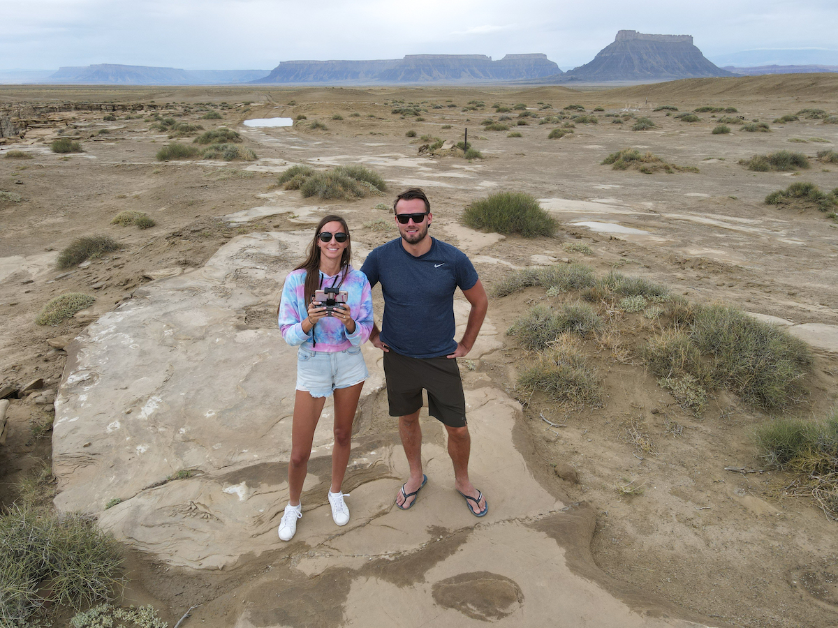
If you do decide to camp here, make sure (as always) that you Leave No Trace!
Other Camping Spots
If you also encounter rain or wind, another place to camp nearby is at Swing Arm City. It’s another OHV area that you are allowed to camp at as well. We found some existing fire pits that were up against one of the steeper landforms, so we camped here for the night.
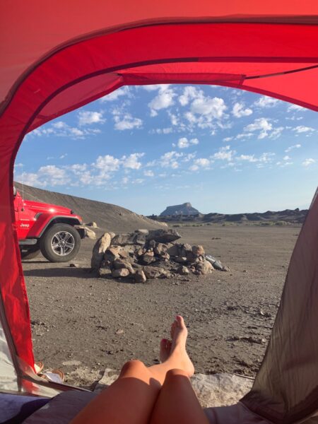
A lot of this area is dirt and a different type of terrain. It did rain again. And it did get muddy.
We also camped right outside of Capitol Reef and found a dirt road that led to some other camp spots near some of the colorful mountains. We used a website/app to find free campsites nearby!
Not camping? You can find a place to stay in Caineville or Hanksville, but be forewarned, options are extremely limited. These are VERY small towns. You might find one motel and a few RV parks.
Things to Know
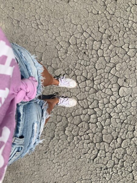
- Weather + Road Conditions – The ground here is unusual and if it’s dry, then it’s dry. But it can turn to mud very quickly which is harder for cars to navigate and not fun to camp on. You don’t want to get stuck, so make sure you are always paying attention to the weather and come prepared with supplies.
- Reception – we had very poor service in the area, if at all. This meant that if we didn’t have the right directions, we were exploring. One way to help that out is to download an offline map of the area to help navigate if you don’t have service.
- Facilities – The overlook has zero facilities but this is a more remote area in general. Hanksville has a population of about 200, so you won’t find supply stores, many restaurants, etc here. We ended up stopping at a market that was just a room in a wooden cabin with a handful of produce options.
What’s Nearby
If you’re leisurely road tripping and have the time to check out some other areas, here are some other great Utah landscapes:
Factory Butte + Caineville Mesas
Some of the craziest landscape in Utah can be found right near the road while driving through Caineville and Hanksville. The Caineville Mesas have incredible rocky hills that are great to photograph. If you have the time, there are some hiking trails you can take to go up, but otherwise, you’ll need a drone to full appreciate what it looks like.
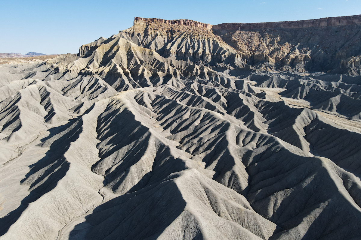
Factory Butte is a specific mesa right next to the Caineville mesas. It’s similar in landscape but is smaller and has a more defined shape–great for photography.
Swing Arm City
Swing Arm City is an OHV (Off-highway vehicle) Open Area next to the North Caineville Mesa and Factory Butte. It’s a designated area for off-roading and there are a lot of people who come here to ride motorcycles or ATVs on the dunes. There’s no set trails here; it’s open riding.
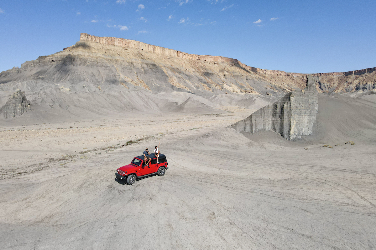
You’ll want to take note of the designated area to make sure you are staying within the boundaries. But if you have a 4×4, it’s a fun place to ride around. We came across one other group when we first arrived but otherwise, it was empty.
Bentonite Hills
The Bentonite Hills have had their share of internet fame as well for looking like Mars, but the photos you see of this place are usually bright blue with different rings of colors on mounds. While Blue Hour will definitely change the hue of a place, most photos have upped the saturation (including mine below).
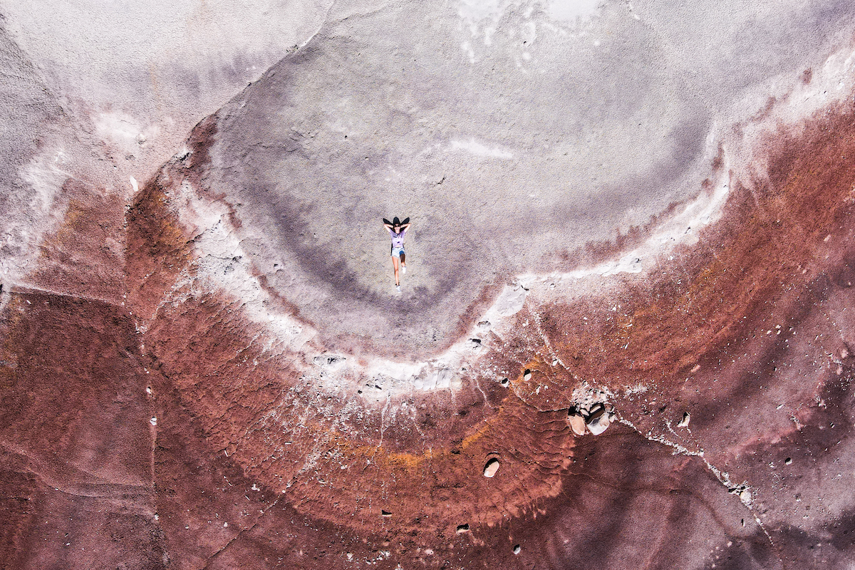
Not that the landscape isn’t crazy, because it is. We never found the exact popular Instagram spot, but the rock formations within the Bentonite Hills all have very unique coloring.
Capitol Reef National Park
The closest national park to this area is Capitol Reef. It’s one of the lesser-visited national parks in Utah but it has some great landscape as well. It’s a little unique in that there’s a road cutting directly through it. And you can actually pull over on several Hwy 24 stops for different viewpoints.
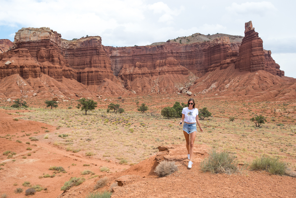
One of the main draws of Capitol Reef is Cathedral Valley. Here is where you’ll drive through tall, rock landforms in a rugged, remote area.
Goblin Valley State Park
Another otherworldly place to visit is Goblin Valley State Park. The rock formations here are referred to as ‘goblins’ for their unique shape. And actually, a few movies have been shot here because of just how otherworldly it looks.
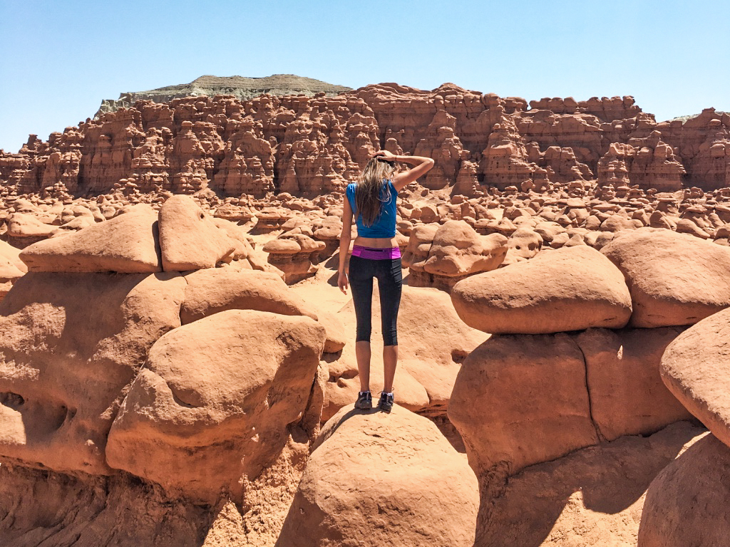
A fun aspect of this state park is that you’re allowed to climb on all the rocks. There are some designated hiking trails to take but you also just explore the valleys and see what you find!
PIN IT FOR LATER
